Summary
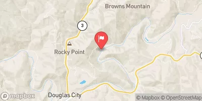
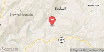
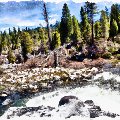
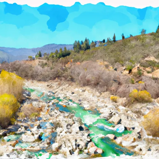
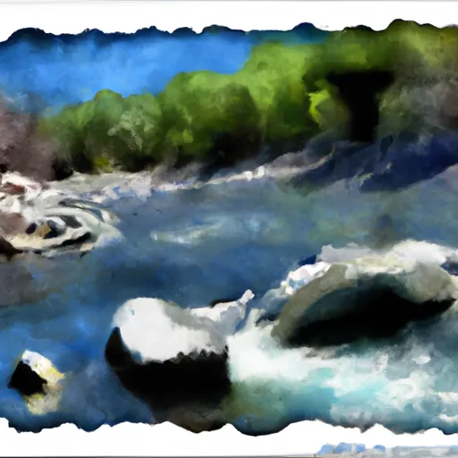
The Whitewater River is a popular destination for whitewater rafting enthusiasts in southern California. The West Section Line of Sec 28, T28N, R11W to Two Tenths of a Mile West and Downstream of Double Cabins Site is a particularly challenging and exciting section of the river.
The ideal streamflow range for this section of the Whitewater River is between 800 and 1,200 cubic feet per second (cfs). This provides enough water to navigate the rapids safely without being too dangerous. The West Section Line is rated as a Class III-IV rapids, which means it is challenging and requires advanced whitewater skills. The segment is approximately 8 miles long, which can take anywhere from 3 to 5 hours to complete depending on the water level and skill level of the rafters.
Specific rapids and obstacles to look out for include Triple Threat, Squeeze Rapid, The Slide, and Butterfly. These rapids require precise navigation and quick decision making. It is recommended that rafters have previous experience rafting Class III-IV rapids before attempting this section of the Whitewater River.
There are specific regulations for this area, including a permit requirement for all river trips. The permit can be obtained from the Bureau of Land Management. Additionally, all rafters must wear a personal flotation device (PFD) and helmets are strongly recommended. Furthermore, it is important to leave no trace and pack out all trash to preserve the beauty of the area.
°F
°F
mph
Wind
%
Humidity
15-Day Weather Outlook
River Run Details
| Last Updated | 2026-01-26 |
| River Levels | 13 cfs (3.51 ft) |
| Percent of Normal | 16% |
| Status | |
| Class Level | iii-iv |
| Elevation | ft |
| Streamflow Discharge | cfs |
| Gauge Height | ft |
| Reporting Streamgage | USGS 11480390 |
5-Day Hourly Forecast Detail
Nearby Streamflow Levels
Area Campgrounds
| Location | Reservations | Toilets |
|---|---|---|
 North Fork Beegum Creek F
|
||
 Chicago Camp
|
||
 Cherry Camp
|
||
 Sulphur Camp
|
||
 Post Creek Lookout
|
||
 Beegum Gorge Campground
|
River Runs
-
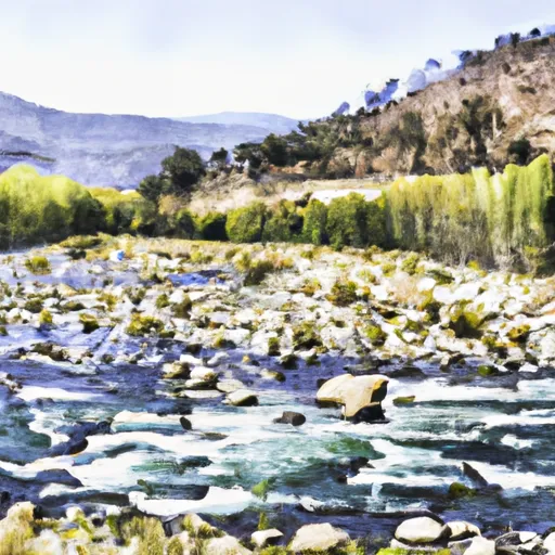 West Section Line Of Sec 28, T28N, R11W To Two Tenths Of A Mile West And Downstream Of Double Cabins Site
-
 Two Tenth Mile West And Downstream Of Double Cabins Site To Confluence With Smoky Creek
-
 Confluence With Smoky Creek To Four Tenths Of A Mile West And Downstream Of Double Cabins Site
-
 Headwaters (At Wilderness Boundary) To West Section Line Of Sec 28, T28S,R11W
-
 West Sec Line Of Sec 6, T28N,R9/10W To Nf Boundary With Blm
-
 Four Tenths Mile Upstream With The Confluence Of Foley Creek
Four Tenths Mile Upstream With Confluence With Foley Creek To Trinity Wsr


