Summary
The ideal streamflow range for this run is between 1,000 and 4,000 cfs, depending on the specific segment of the river. The class rating ranges from II to V, with some difficult rapids and obstacles that require technical skill and experience.
The segment mileage of the Whitewater River Run varies, with some sections being shorter and more intense and others being longer and more moderate. One of the most challenging sections is the Pine Creek section, which is a steep and technical run with Class IV and V rapids. Other notable rapids include the Zoom Flume and the Numbers, both of which are Class IV and require advanced skills to navigate.
There are specific regulations that apply to the Whitewater River Run, including the use of proper safety equipment and adherence to all posted signs and warnings. Additionally, there are restrictions on commercial outfitters and limitations on the number of people permitted on the river at any given time.
Overall, the Whitewater River Run in Colorado is an exciting and challenging experience for whitewater enthusiasts. It is important to carefully consider the specific segment of the river, streamflow range, and class rating before attempting this run to ensure a safe and enjoyable experience.
°F
°F
mph
Wind
%
Humidity
15-Day Weather Outlook
River Run Details
| Last Updated | 2025-11-02 |
| River Levels | 18 cfs (0.99 ft) |
| Percent of Normal | 151% |
| Status | |
| Class Level | iv |
| Elevation | ft |
| Run Length | 3.0 Mi |
| Streamflow Discharge | cfs |
| Gauge Height | ft |
| Reporting Streamgage | USGS 08229500 |
5-Day Hourly Forecast Detail
Nearby Streamflow Levels
Area Campgrounds
River Runs
-
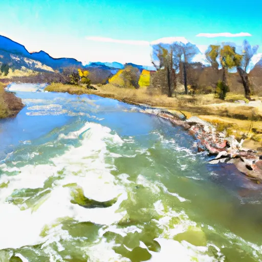 Eastern Boundary Of Park To Western Park Boundary
-
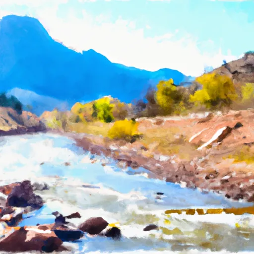 Mountain Front To Western Park Boundary
-
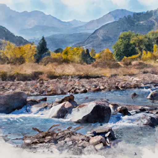 Headwaters To The Mountain Front
-
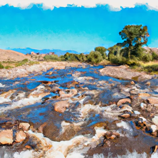 Headwaters To Confluence With Sand Creek
-
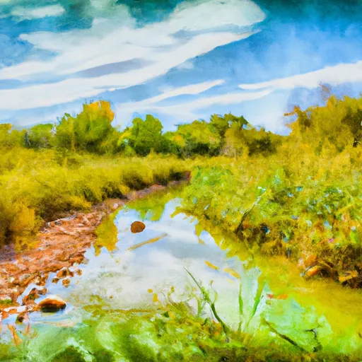 Headwaters At Indian Spring To Ends Where The Creek Is Diverted Into Irrigation Ditches
-
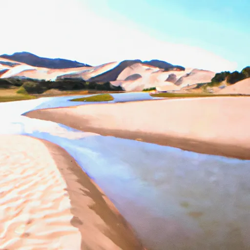 Headwaters At Medano Lake To Ends On The Sand Sheet Past The Southern End Of The Dunes


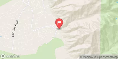
 Cold Creek Backcountry Campsite
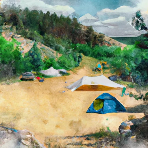 Burnt Gulch Trail Camp
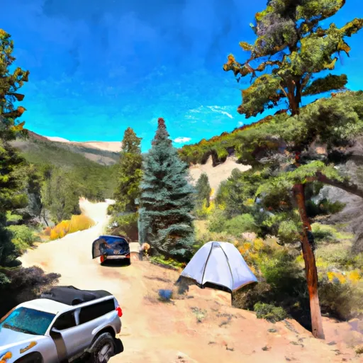 Burnt Gulch Trail 4WD Parking & Camp
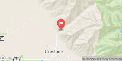
 North Crestone Campground
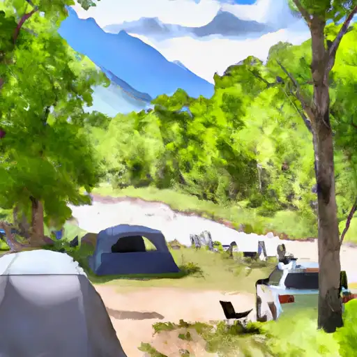 North Crestone Creek
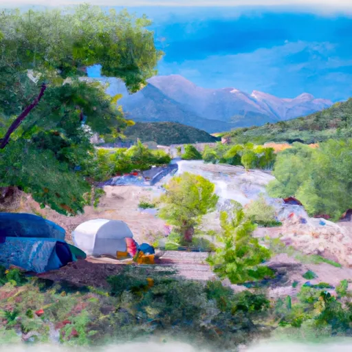 North Crestone Creek Campground