Summary
The ideal streamflow range for this run is between 700 and 1500 cfs. The river has a class III to IV rating, with segments ranging in mileage from 13 to 32 miles. The river is known for its technical rapids, including "Rocky Wall," "Devil's Punchbowl," and "Pine Tree." Paddlers should also be aware of obstacles such as logjams and strainers.
The Middle Fork is part of the Weminuche Wilderness Area, which has specific regulations that paddlers must follow. These regulations include practicing Leave No Trace principles, camping only in designated areas, and obtaining a permit through the San Juan National Forest. Additionally, boaters should be aware of a seasonal closure from March 1 to May 31 to protect wintering big game.
Overall, the Middle Fork of the San Juan River is a challenging and rewarding whitewater run for experienced paddlers. It is important to carefully consider the specific regulations and obstacles before embarking on this adventure.
°F
°F
mph
Wind
%
Humidity
15-Day Weather Outlook
River Run Details
| Last Updated | 2025-11-13 |
| River Levels | 1320 cfs (4.08 ft) |
| Percent of Normal | 100% |
| Status | |
| Class Level | iii |
| Elevation | ft |
| Streamflow Discharge | cfs |
| Gauge Height | ft |
| Reporting Streamgage | USGS 08213500 |
5-Day Hourly Forecast Detail
Nearby Streamflow Levels
Area Campgrounds
| Location | Reservations | Toilets |
|---|---|---|
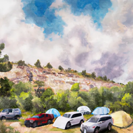 Palisades Campground
|
||
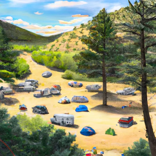 Palisades Horse Campground
|
||
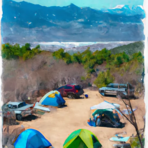 Cimarrona
|
||
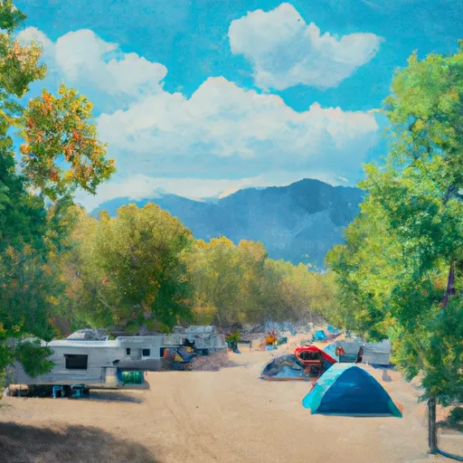 Cimarrona Campground
|
||
 Teal Campground
|
||
 Williams Creek - Pagosa Springs
|


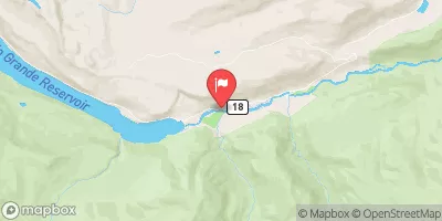
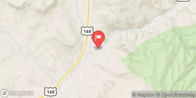
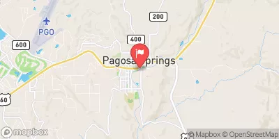
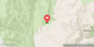
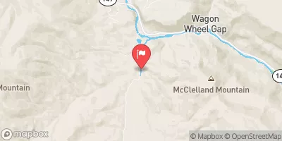
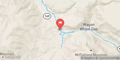
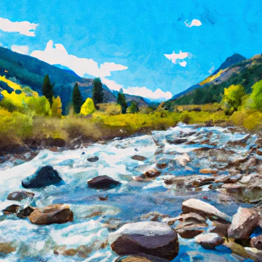 Middle Fork--Headwaters To Weminuche Wilderness Boundary
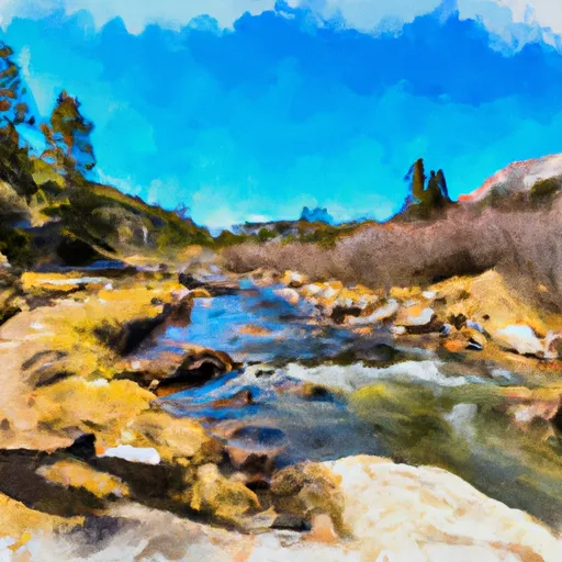 East Fork--Unnamed Ponds Approx 1/4 Mile Below Continental Divide To Weminuche Wilderness Boundary
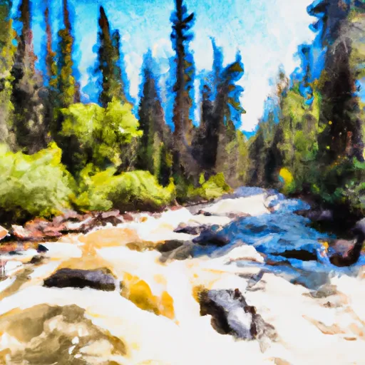 Ef/Middle Fork At Weminuche Wilderness Boundary To Forest Development Road 631