Summary
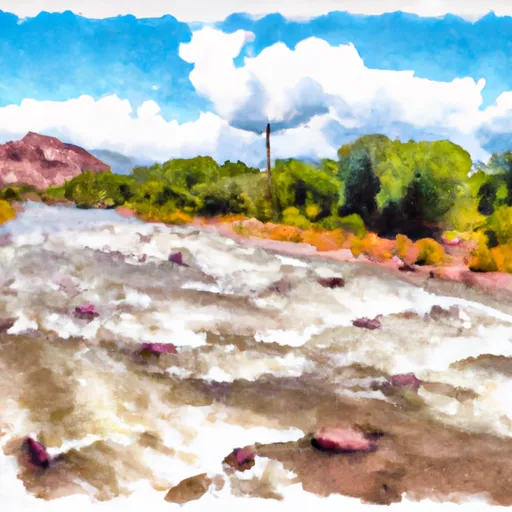
The ideal streamflow range for this run is between 800-1500 cfs, which provides an exciting and challenging experience for kayakers and rafters alike.
The segment is rated as a Class III-IV, which means that it is suitable for intermediate to advanced paddlers who have a good understanding of river currents, rapids, and obstacles. Some of the notable rapids and obstacles on this run include the Stateline, Upper and Lower Disaster, and Sledgehammer.
It is important to note that the Whitewater River Run Colorado Stateline To NF Boundary is located within the San Juan National Forest, and therefore there are specific regulations that must be followed. For instance, a permit is required for all commercial trips, and fires are not allowed along the river. Furthermore, there are restrictions on the use of motorized and mechanized equipment in certain areas of the river.
In conclusion, the Whitewater River Run Colorado Stateline To NF Boundary is an exciting and challenging run that is suitable for intermediate to advanced paddlers. The ideal flow range is between 800-1500 cfs, and the segment is rated as Class III-IV. There are specific regulations that must be followed when using this run, and it is important to obtain a permit and adhere to all rules and restrictions.
°F
°F
mph
Wind
%
Humidity
15-Day Weather Outlook
River Run Details
| Last Updated | 2025-11-13 |
| River Levels | 1360 cfs (4.84 ft) |
| Percent of Normal | 114% |
| Status | |
| Class Level | iii-iv |
| Elevation | ft |
| Streamflow Discharge | cfs |
| Gauge Height | ft |
| Reporting Streamgage | USGS 08246500 |
5-Day Hourly Forecast Detail
Nearby Streamflow Levels
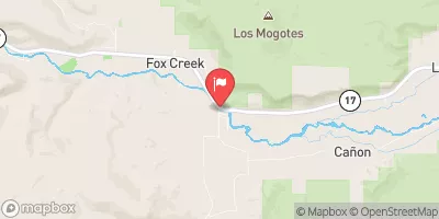 Conejos River Near Mogote
|
60cfs |
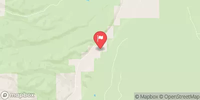 La Jara Creek At Gallegos Ranch
|
10cfs |
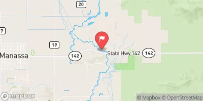 San Antonio River At Mouth
|
-999cfs |
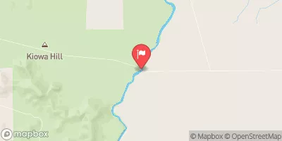 Rio Grande Near Lobatos
|
365cfs |
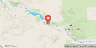 Alamosa River Below Terrace Reservoir
|
4cfs |
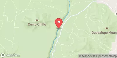 Rio Grande Near Cerro
|
322cfs |
Area Campgrounds
| Location | Reservations | Toilets |
|---|---|---|
 Rio de Los Pinos Campground
|
||
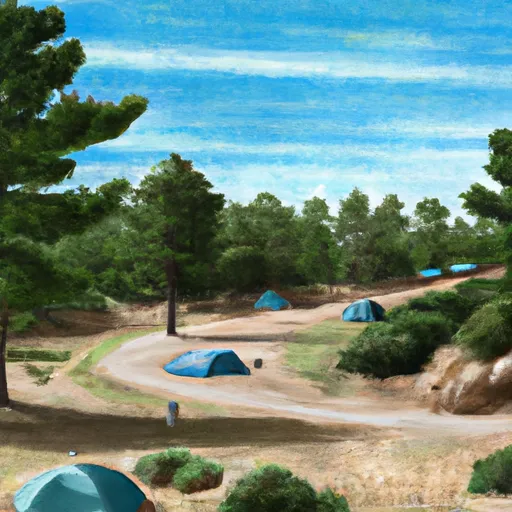 Los Pinos
|
||
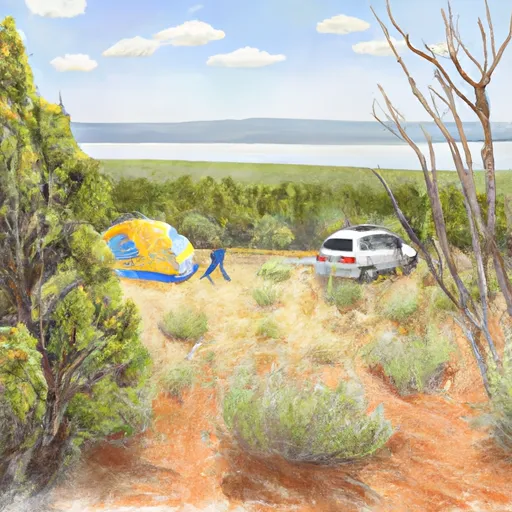 Laguna Larga
|
||
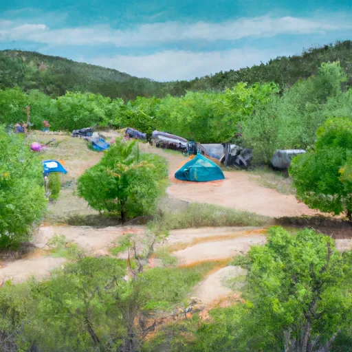 Cruces Basin Campground
|
||
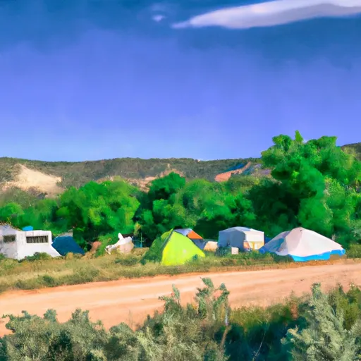 Mogote - Juniper Group Camping Site
|
||
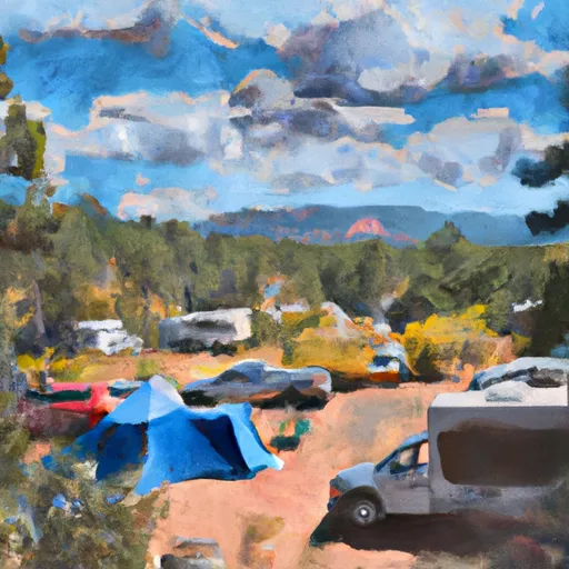 Mogote Campground
|


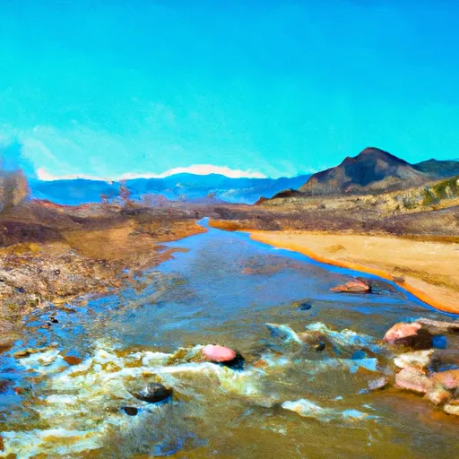 Colorado Stateline To Nf Boundary
 Headwaters To Los Pinos
 Headwaters To Rio San Antonio
 Rio Nutritas To Stewart Meadows
 Sec 9, T32N, R6E To Sec 22, T32N, R6E (Co/Nm State Line)
 Sec 23, T32N, R5E To Sec 20, T32N, R6E (Co/Nm State Line)