Summary
The ideal streamflow range for this run is between 400-1000 cfs, although it can be run up to 1500 cfs. The class rating for this section of the river is Class II-III, meaning it is suitable for intermediate paddlers with some experience.
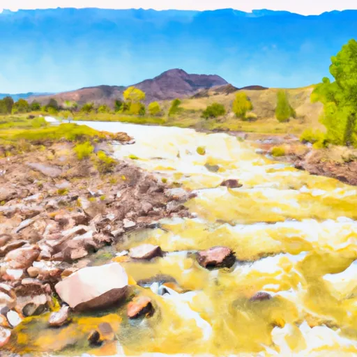
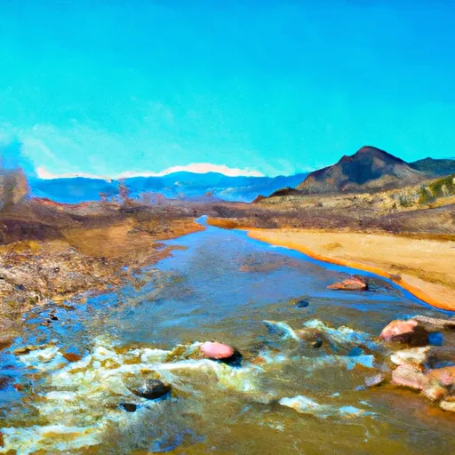
This section of the Whitewater River is approximately 12 miles long and includes several rapids and obstacles, such as the Pinball Rapid, which is a technical Class III rapid with narrow channels and large boulders. Other notable rapids include the Meatgrinder, Smelter, and Sawmill Rapid.
There are specific regulations in place for this area, including a permit system for commercial outfitters and a requirement for personal flotation devices (PFDs) for all paddlers. Additionally, there are restrictions on alcohol and drug use while on the river.
Overall, the Whitewater River Run headwaters to Los Pinos is a scenic and exciting stretch of river that offers a fun and challenging experience for intermediate paddlers. It is important to follow all regulations and safety guidelines to ensure a safe and enjoyable trip.
°F
°F
mph
Wind
%
Humidity
15-Day Weather Outlook
River Run Details
| Last Updated | 2025-11-13 |
| River Levels | 1360 cfs (4.84 ft) |
| Percent of Normal | 114% |
| Status | |
| Class Level | ii-iii |
| Elevation | ft |
| Streamflow Discharge | cfs |
| Gauge Height | ft |
| Reporting Streamgage | USGS 08246500 |
5-Day Hourly Forecast Detail
Nearby Streamflow Levels
Area Campgrounds
| Location | Reservations | Toilets |
|---|---|---|
 Cruces Basin Campground
|
||
 Los Pinos
|
||
 Rio de Los Pinos Campground
|
||
 Upper Lagunitas
|
||
 Upper Lagunitas / Lower Lagunitas Campgrounds
|
||
 Lagunitas
|


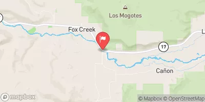
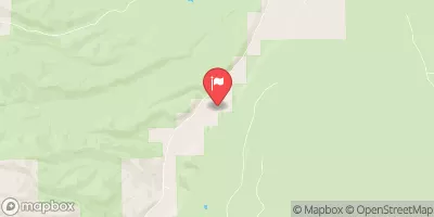
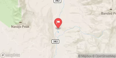
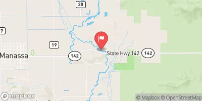
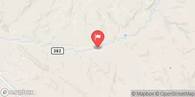
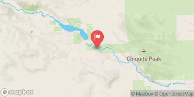
 Headwaters To Los Pinos
 Sec 9, T32N, R6E To Sec 22, T32N, R6E (Co/Nm State Line)
 Sec 23, T32N, R5E To Sec 20, T32N, R6E (Co/Nm State Line)
 Tierra Amarilla Grant Boundary To Colorado Stateline
 Colorado Stateline To Nf Boundary
 Headwaters To Rio San Antonio