Summary
The ideal streamflow range for this section of the river is between 400 and 1,000 cubic feet per second (cfs). The class rating for this section is Class III-IV, with a segment mileage of approximately 8.5 miles.
There are several specific river rapids and obstacles on this section of the river, including Sledgehammer, Lower Sledgehammer, and Pinball. Sledgehammer is a Class IV rapid that has a steep drop followed by a large, powerful hole that can easily flip a raft or kayak. Lower Sledgehammer is a Class III rapid that has a series of smaller drops and waves. Pinball is a Class III rapid that has several large rocks that create a pinball-like effect for rafts and kayaks.
There are specific regulations to the area that visitors should be aware of. The use of motorized watercraft is prohibited on this section of the river. Additionally, all visitors should follow Leave No Trace principles and pack out all trash and waste. Visitors should also be aware of private property boundaries and respect the rights of landowners.
Overall, the Whitewater River Run Co Dow Anlger Access Trail to Nf Boundary on East Section Line, Sec 24, T11N, R72W in Colorado is a challenging and exciting river run for experienced whitewater paddlers. Visitors should be mindful of the specific regulations and safety precautions necessary for navigating this section of the river. Sources used to verify accuracy include American Whitewater and Colorado Parks and Wildlife.
°F
°F
mph
Wind
%
Humidity
15-Day Weather Outlook
River Run Details
| Last Updated | 2026-02-07 |
| River Levels | 394 cfs (4.18 ft) |
| Percent of Normal | 2% |
| Status | |
| Class Level | iii-iv |
| Elevation | ft |
| Streamflow Discharge | cfs |
| Gauge Height | ft |
| Reporting Streamgage | USGS 06751150 |
5-Day Hourly Forecast Detail
Nearby Streamflow Levels
Area Campgrounds
| Location | Reservations | Toilets |
|---|---|---|
 Dowdy Lake
|
||
 Dowdy Lake Campground
|
||
 West Lake
|
||
 West Lake Campground
|
River Runs
-
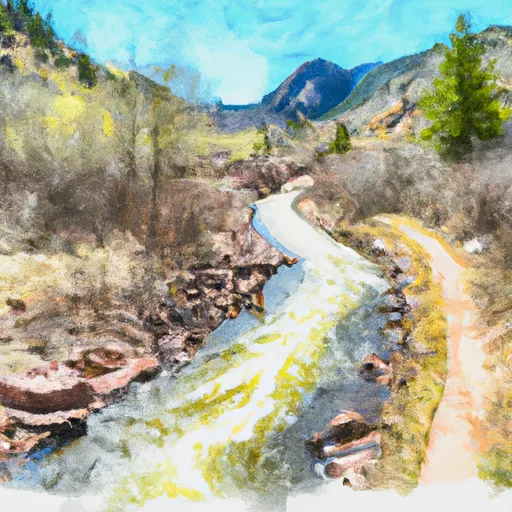 Co Dow Anlger Access Trail To Nf Boundary On East Section Line, Sec 24, T11N, R72W
-
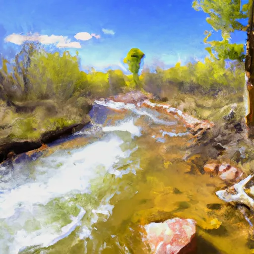 Intermittent Stream To Junction With Co Division Of Wildlife Angler Access Trail In Sw 1/4 Sec 22, T11N, R72W
-
 Upper North Fork
-
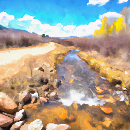 Road West Of Creedmore Lakes To Junction Of Intermittent Stream In Sw 1/4, Sec 29, T11N, R72W
-
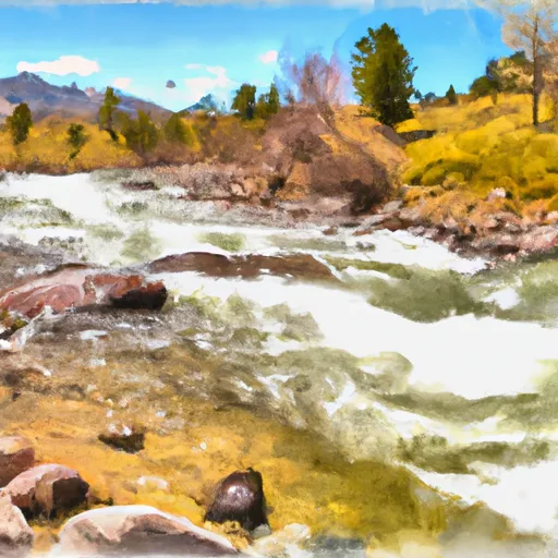 Pearl Creek To Junction Of Road West Of Creedmore Lakes In Sw 1/4 Sec 5, T10N, R73E
-
 Lower North Fork


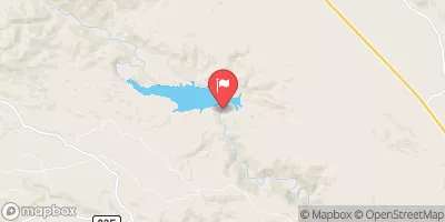
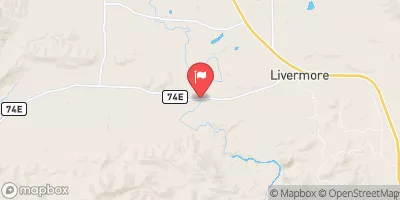
 Creedmore Lake Fishing Site
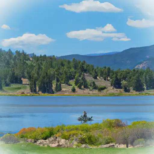 Dowdy Lake
 Parvin Lake
 West Lake
 West Lake Day Use Area