Summary
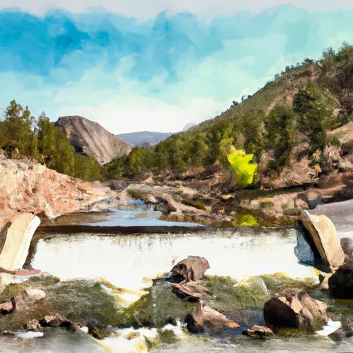
The ideal streamflow range for this section is between 150 and 500 cubic feet per second (cfs). This section of the river is rated as a Class III-IV, which means that it has moderate to difficult rapids and obstacles. The segment mileage is approximately 6.5 miles long and is known for its scenic views and wildlife sightings.
Some specific rapids and obstacles to watch out for on this run include Elevenmile Falls, which is a Class IV rapid with a steep drop and rocky channels. There is also a Class III rapid called Twin Falls, which has two drops and requires precise maneuvering to avoid rocks and waves.
Regulations for this area include a permit requirement for commercial outfitters and a restriction on the number of commercial trips allowed per day. There is also a carry-in/carry-out policy, which means that visitors must pack out all trash and leave no trace behind. Additionally, visitors must follow all state fishing and boating regulations, including wearing personal flotation devices at all times while on the river.
Overall, the Eleven Mile Canyon Dam to Private Land in the Vicinity of Lake George run in Colorado offers a challenging and scenic whitewater experience for intermediate to advanced paddlers. It is important to follow all regulations and safety guidelines to ensure a safe and enjoyable trip.
°F
°F
mph
Wind
%
Humidity
15-Day Weather Outlook
River Run Details
| Last Updated | 2025-11-02 |
| River Levels | 51 cfs (0.68 ft) |
| Percent of Normal | 164% |
| Status | |
| Class Level | iii-iv |
| Elevation | ft |
| Streamflow Discharge | cfs |
| Gauge Height | ft |
| Reporting Streamgage | USGS 06695000 |
5-Day Hourly Forecast Detail
Nearby Streamflow Levels
Area Campgrounds
| Location | Reservations | Toilets |
|---|---|---|
 Blue Mountain
|
||
 Blue Mountain Campground
|
||
 Riverside
|
||
 Happy Meadows Campground
|
||
 Happy Meadows
|
||
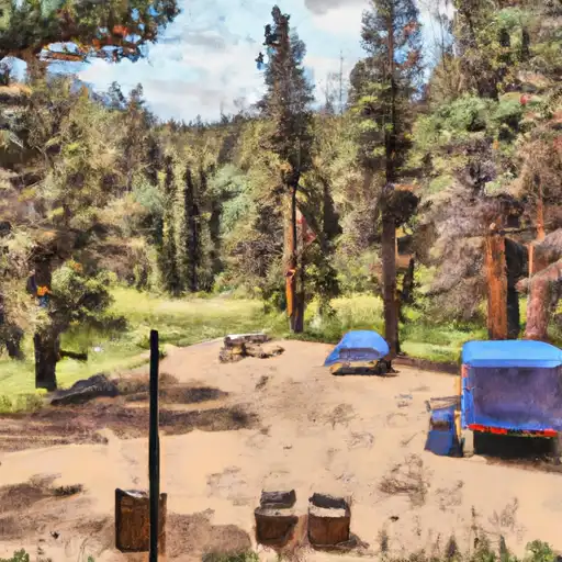 Springer Gulch
|


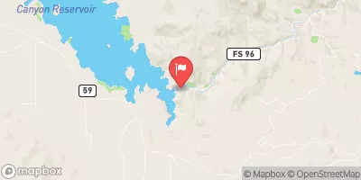
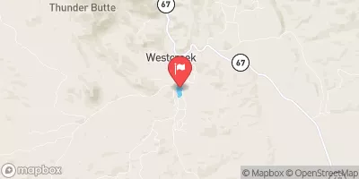
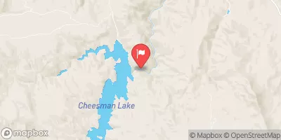
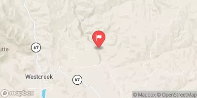
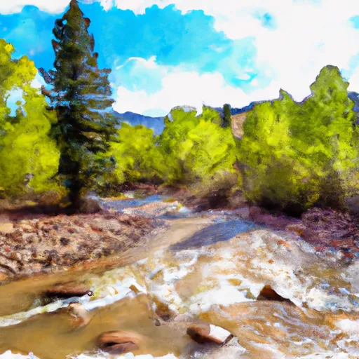
 Eleven Mile Canyon Dam To Private Land In Vicinity Of Lake George
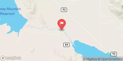
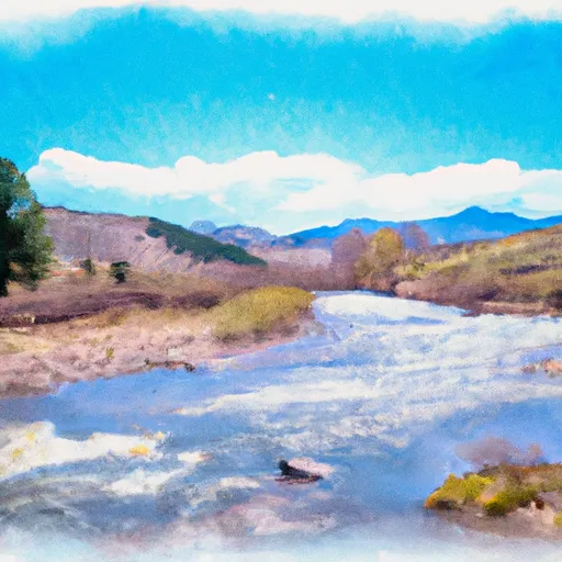
 Private Land To Confluence With Beaver Creek
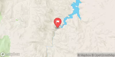
 Beaver Creek To Cheeseman Reservoir
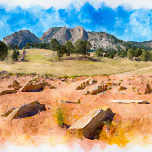 Florissant Fossil Beds National Monument
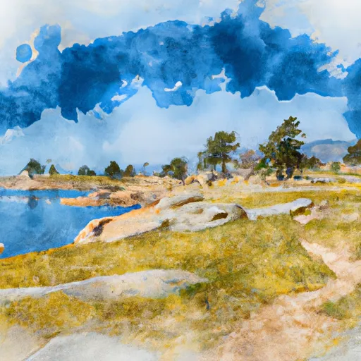 Eleven Mile State Park
 Wilderness Lost Creek
 Mueller State Park