Summary
The ideal streamflow range for this run is between 300 and 900 cubic feet per second (cfs), according to American Whitewater. The class rating for this run is Class III-IV, which means it requires intermediate to advanced paddling skills.
The segment mileage for this run is approximately 10 miles, with specific rapids and obstacles along the way. Some notable rapids include the "Meatgrinder," "Pinball," and "Castle Falls." These rapids range in difficulty from Class III to Class IV and provide an exciting challenge for experienced paddlers.
There are specific regulations to the area, including the requirement of a valid Colorado Parks and Wildlife (CPW) pass to access the Strontia Springs Reservoir. Additionally, CPW prohibits the use of glass containers and requires all boats to be washed to prevent the spread of invasive species.
Overall, the Wigman Club to Strontia Reservoir run on the Whitewater River provides an exhilarating experience for those seeking a challenging river run. The ideal streamflow range, class rating, specific rapids and obstacles, and regulations to the area help ensure a safe and enjoyable experience for all paddlers.
°F
°F
mph
Wind
%
Humidity
15-Day Weather Outlook
River Run Details
| Last Updated | 2025-11-13 |
| River Levels | 859 cfs (3.72 ft) |
| Percent of Normal | 122% |
| Status | |
| Class Level | iii-iv |
| Elevation | ft |
| Streamflow Discharge | cfs |
| Gauge Height | ft |
| Reporting Streamgage | USGS 06707500 |
5-Day Hourly Forecast Detail
Nearby Streamflow Levels
Area Campgrounds
| Location | Reservations | Toilets |
|---|---|---|
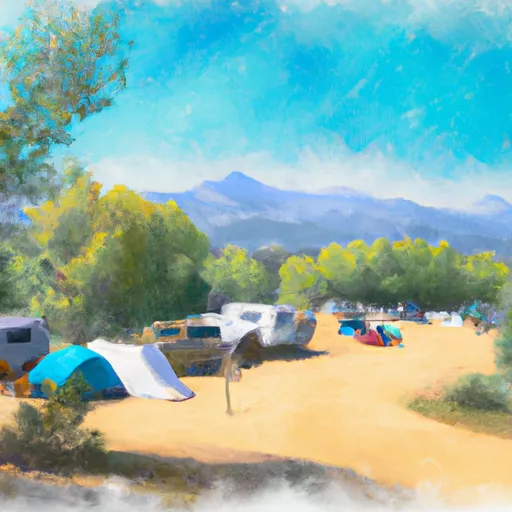 Osprey Campground
|
||
 Osprey
|
||
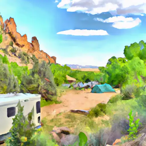 Indian Creek
|
||
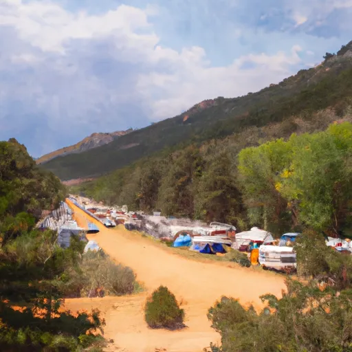 Idylease Campground
|
||
 Ouzel
Ouzel
|
||
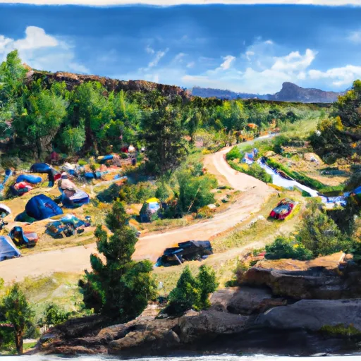 Ouzel Campground
|


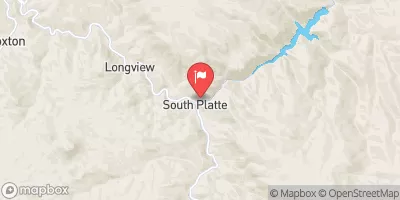
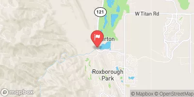
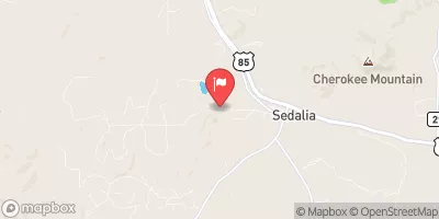
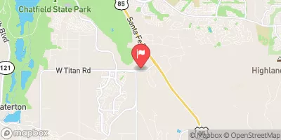
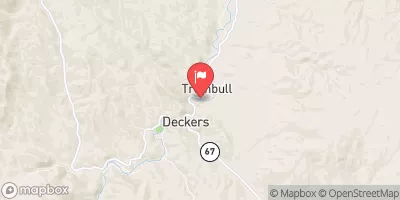
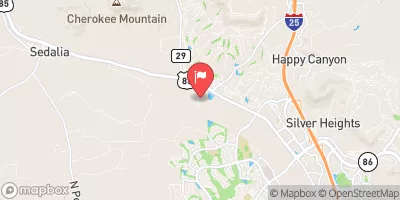
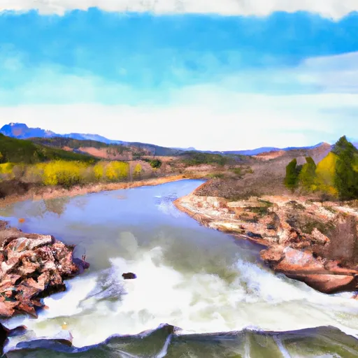 Wigman Club To Strontia Reservoir
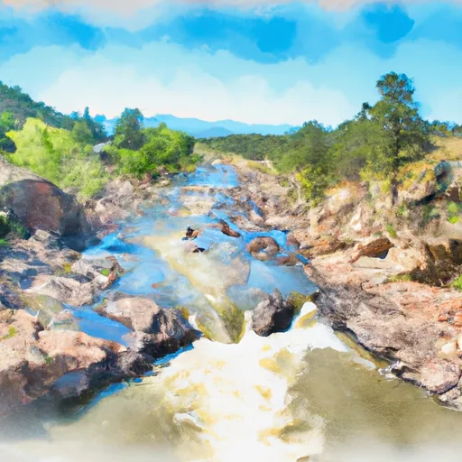 Cliffdale To Confluence With South Platte
 Foxton
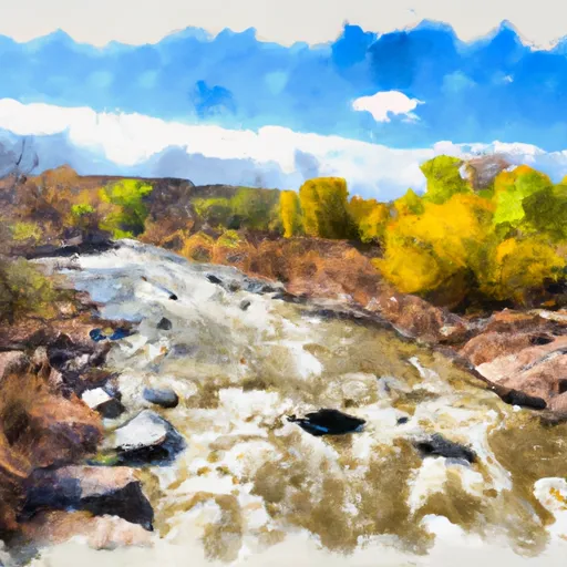 Estabrook To Cliffdale
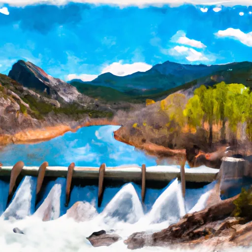 Cheeseman Dam To Wigman Club
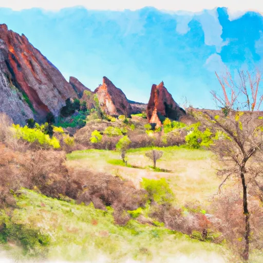 Roxborough State Park
 Deer Creek Canyon Park
 Yegge Peak
 Legault Mountain Park
 Deer Creek Mountain Park
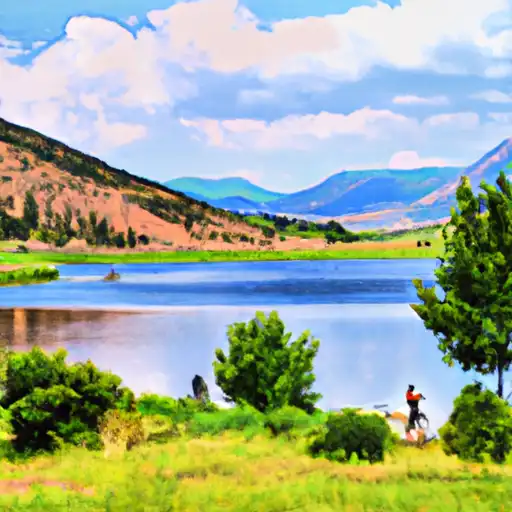 Strortia Springs Reservoir
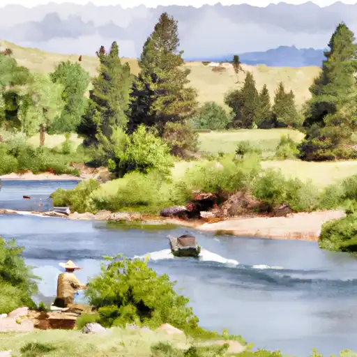 South Platte River
 Platte Canyon Ditch
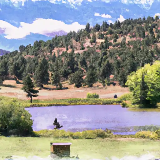 Pine Valley Ranch Pond
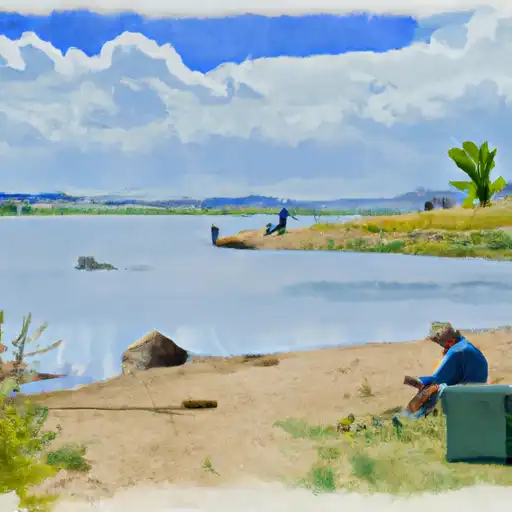 Chatfield Reservoir