Summary
The ideal streamflow range for this stretch is between 800 and 1,200 cfs. The class rating for this run is class III-IV, making it suitable for intermediate to advanced paddlers.
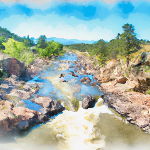
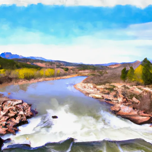
The segment mileage for this run is approximately 6 miles, beginning at Estabrook and ending at Cliffdale. The rapids on this run are numerous, and include obstacles such as Sweepers, S-Turn, and The Notch. These rapids provide a thrilling and challenging experience for paddlers.
When planning to visit this area, it is important to note that there are regulations in place. The river is managed by the Bureau of Land Management, and permits are required for commercial outfitters. Additionally, visitors should be aware of the Leave No Trace principles and follow them to preserve the natural environment.
Overall, the Whitewater River Run Estabrook To Cliffdale in Colorado is a challenging and exciting stretch for intermediate to advanced paddlers. It offers an ideal streamflow range, numerous rapids and obstacles, and is subject to specific regulations to ensure the safety and preservation of the natural environment.
°F
°F
mph
Wind
%
Humidity
15-Day Weather Outlook
River Run Details
| Last Updated | 2025-11-13 |
| River Levels | 859 cfs (3.72 ft) |
| Percent of Normal | 122% |
| Status | |
| Class Level | iii-iv |
| Elevation | ft |
| Streamflow Discharge | cfs |
| Gauge Height | ft |
| Reporting Streamgage | USGS 06707500 |
5-Day Hourly Forecast Detail
Nearby Streamflow Levels
Area Campgrounds
| Location | Reservations | Toilets |
|---|---|---|
 Meadows Group Campground
|
||
 Buffalo
|
||
 Green Mountain Campground
|
||
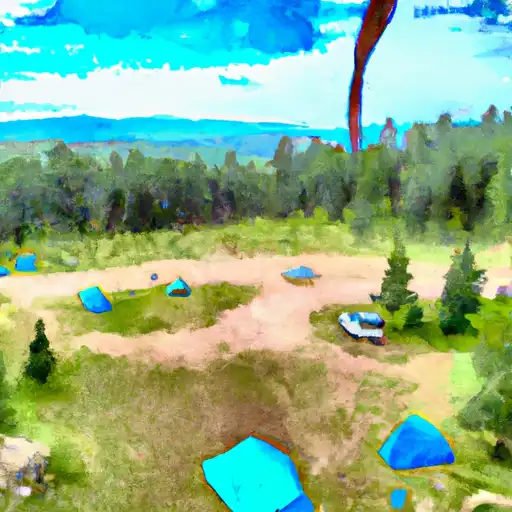 Green Mountain
|
||
 Xanadu
|
||
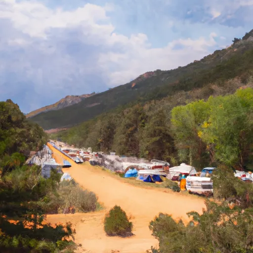 Idylease Campground
|


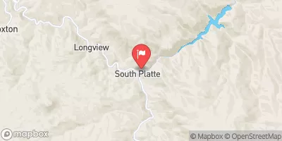
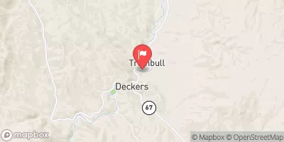
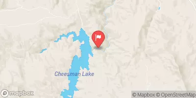
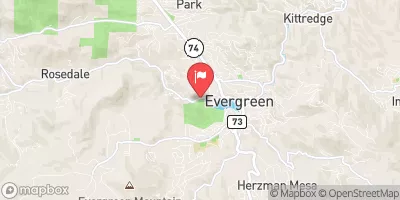

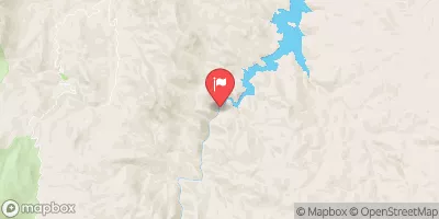
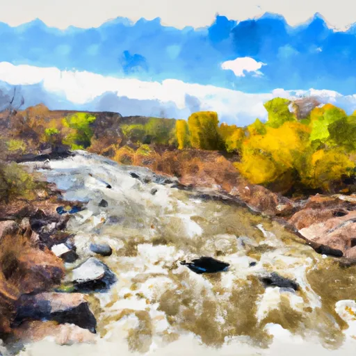 Estabrook To Cliffdale
 Bailey Canyon
 North Fork--Insmont To Estabrook
 Foxton
 Cliffdale To Confluence With South Platte
 Wigman Club To Strontia Reservoir
 Reynolds Ranch Open Space Park
 James Q Newton Park
 Flying J Ranch Park
 West Jefferson School
 Legault Mountain Park