2026-02-20T23:00:00-07:00
* WHAT...Heavy snow. Snow accumulations between 6 and 12 inches with locally higher amounts possible on south and southwest facing slopes. Winds gusting as high as 50 mph. * WHERE...Eastern San Juan Mountains Above 10000 Feet. * WHEN...Until 11 PM MST this evening. * IMPACTS...Travel could be difficult. Widespread blowing snow could significantly reduce visibility.
Summary
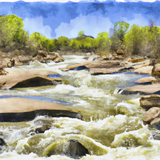
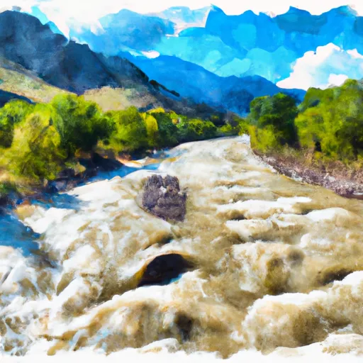
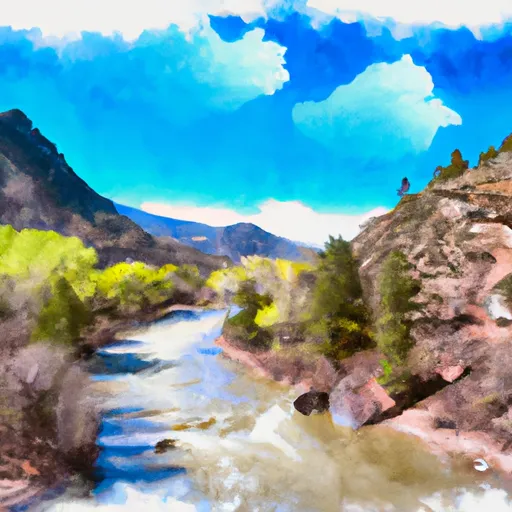
The ideal streamflow range for this section is between 400 and 1,000 cfs. The class rating ranges from III to IV and the segment mileage is 7 miles. Some of the notable rapids on this stretch include S-Turn, Pinball, and Pipeline. The run also has a few dangerous obstacles, including strainers and a low bridge. It is important to note that the river can become more challenging at higher flows.
In terms of regulations, all boaters are required to have a valid Colorado Parks and Wildlife Habitat Stamp. Additionally, there are restrictions on commercial use of the river and camping is only allowed in designated areas. It is important to respect the natural environment and follow Leave No Trace principles.
°F
°F
mph
Wind
%
Humidity
15-Day Weather Outlook
River Run Details
| Last Updated | 2025-11-13 |
| River Levels | 219 cfs (2.16 ft) |
| Percent of Normal | 80% |
| Status | |
| Class Level | None |
| Elevation | ft |
| Streamflow Discharge | cfs |
| Gauge Height | ft |
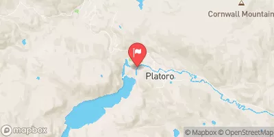
| Reporting Streamgage | USGS 08245000 |
5-Day Hourly Forecast Detail
Nearby Streamflow Levels
Area Campgrounds
| Location | Reservations | Toilets |
|---|---|---|
 Mix Lake
|
||
 Mix Lake Campground
|
||
 Platoro Cabin 1
|
||
 Platoro Cabin 2
|
||
 Stunner Campground
|
||
 Stunner
|
River Runs
-
 Middle Fork--Sec 13, T35N, R2E To Confluence Of Three Forks--Sec 14, T35N, R3E
-
 North Fork--Sec 8, T35N, R2E To Confluence With Middle Fork
-
 El Rito Azul--Blue Lake (Sec 26, T35N, R3E) And Portion Of Conejos Above Platoro Reservoir To Upper Reach Of Platoro Reservoir--Sec 6, T35N, R4E
-
 Sec 17, T35N, R4E To Sec 36, T35N, R4E
-
 South Fork--Sec 19, T35N, R4E To Sec 36, T35N, R4 1/2E
-
 Lake Fork--Confluence With South Fork To 1 Mile Below Town Of Platoro


