Summary
The ideal streamflow range for this section is between 300-800 cubic feet per second (cfs), with the optimal time to run the river being during the spring runoff season from May to June.
This section of the river is rated as a Class III-IV, with several challenging rapids and obstacles, including the "Wall," "Hell's Hole," and "Disaster Falls." The segment mileage is approximately 17 miles and takes around 4-6 hours to complete depending on the water level.
Regulations for this section of the river include mandatory PFDs (personal flotation devices) for all passengers, and a limit of one boat per designated campsite. This is to ensure that the natural ecosystem is preserved and protected from overuse.
Overall, the Whitewater River Run from Lake Fork to Confluence with South Fork to 1 Mile Below Town of Platoro is a thrilling and challenging experience for experienced whitewater paddlers, and it is essential to adhere to the regulations put in place to protect the environment and ensure safety.
°F
°F
mph
Wind
%
Humidity
15-Day Weather Outlook
River Run Details
| Last Updated | 2025-11-13 |
| River Levels | 219 cfs (2.16 ft) |
| Percent of Normal | 80% |
| Status | |
| Class Level | iii-iv |
| Elevation | ft |
| Streamflow Discharge | cfs |
| Gauge Height | ft |
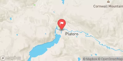
| Reporting Streamgage | USGS 08245000 |
5-Day Hourly Forecast Detail
Nearby Streamflow Levels
Area Campgrounds
| Location | Reservations | Toilets |
|---|---|---|
 Conejos
|
||
 Spectacle Lake Campground
|
||
 Spectacle Lake
|
||
 Lake Fork
|
||
 Elk Creek
|
||
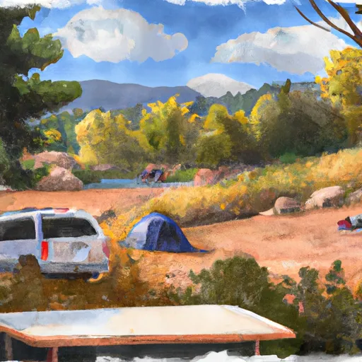 Elk Creek Overflow Campground
|
River Runs
-
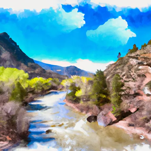 Lake Fork--Confluence With South Fork To 1 Mile Below Town Of Platoro
-
 South Fork--Sec 19, T35N, R4E To Sec 36, T35N, R4 1/2E
-
 Sec 17, T35N, R4E To Sec 36, T35N, R4E
-
 Middle Fork--Sec 13, T35N, R2E To Confluence Of Three Forks--Sec 14, T35N, R3E
-
 El Rito Azul--Blue Lake (Sec 26, T35N, R3E) And Portion Of Conejos Above Platoro Reservoir To Upper Reach Of Platoro Reservoir--Sec 6, T35N, R4E
-
 North Fork--Sec 8, T35N, R2E To Confluence With Middle Fork


 Spectacle Lake Fishing Site
 La Jara Reservoir
 La Manga Creek (Beaver Ponds)
 Platoro Reservoir
 Kerr Lake Fishing Site