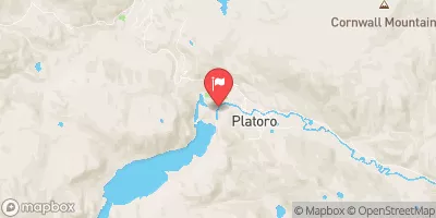
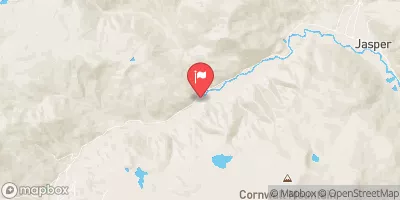
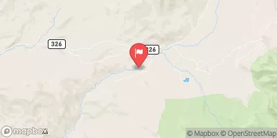
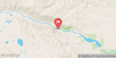
El Rito Azul--Blue Lake (Sec 26, T35n, R3e) And Portion Of Conejos Above Platoro Reservoir To Upper Reach Of Platoro Reservoir--Sec 6, T35n, R4e Paddle Report
Last Updated: 2025-11-13
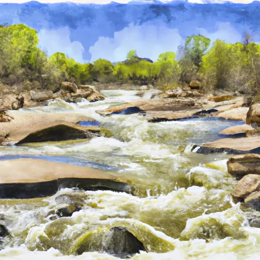
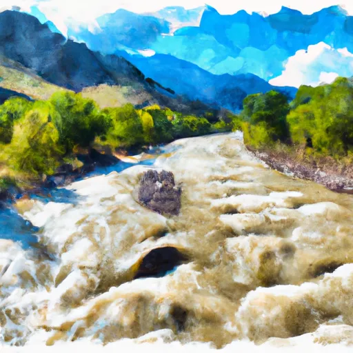
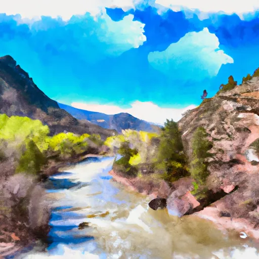
The El Rito Azul-Blue Lake run in Colorado is a challenging and exciting whitewater experience for experienced kayakers and rafters.
Summary
The ideal streamflow range for this run is between 600-1,000 cfs. This segment of the Conejos River above Platoro Reservoir to the upper reach of Platoro Reservoir is rated Class IV-V, and has a total mileage of approximately 10 miles.
This section of the river is characterized by several notable rapids and obstacles, including the "Hole-in-the-Wall," "S-Box," "The Notch," and "The Narrows." These rapids require advanced-level skills, and should only be attempted by experienced boaters.
There are specific regulations that must be followed when boating in this area. All boaters must wear personal flotation devices, and there is a strict limit on the number of people allowed on rafts. Additionally, boaters must obtain a permit to access the area, and must follow all rules and restrictions outlined by the Platoro Reservoir Recreation Area.
°F
°F
mph
Wind
%
Humidity
15-Day Weather Outlook
River Run Details
| Last Updated | 2025-11-13 |
| River Levels | 219 cfs (2.16 ft) |
| Percent of Normal | 80% |
| Status | |
| Class Level | iv-v |
| Elevation | ft |
| Streamflow Discharge | cfs |
| Gauge Height | ft |
| Reporting Streamgage | USGS 08245000 |
5-Day Hourly Forecast Detail
Nearby Streamflow Levels
Area Campgrounds
| Location | Reservations | Toilets |
|---|---|---|
 Mix Lake
|
||
 Mix Lake Campground
|
||
 Platoro Cabin 1
|
||
 Platoro Cabin 2
|
||
 Stunner Campground
|
||
 Stunner
|
River Runs
-
 El Rito Azul--Blue Lake (Sec 26, T35N, R3E) And Portion Of Conejos Above Platoro Reservoir To Upper Reach Of Platoro Reservoir--Sec 6, T35N, R4E
-
 Middle Fork--Sec 13, T35N, R2E To Confluence Of Three Forks--Sec 14, T35N, R3E
-
 North Fork--Sec 8, T35N, R2E To Confluence With Middle Fork
-
 Sec 17, T35N, R4E To Sec 36, T35N, R4E
-
 South Fork--Sec 19, T35N, R4E To Sec 36, T35N, R4 1/2E
-
 Lake Fork--Confluence With South Fork To 1 Mile Below Town Of Platoro


