Summary
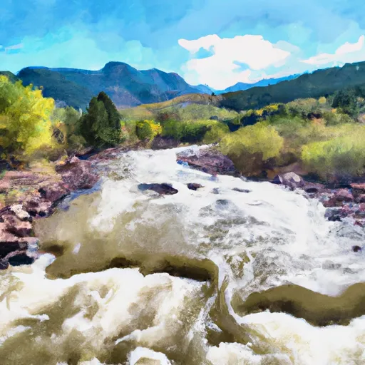
The ideal streamflow range for this river run is between 400-800 cfs. This river run is classified as a Class III-IV rapids, making it ideal for intermediate to advanced level paddlers. The segment mileage for the West Beaver Creek is approximately 7.5 miles, making it a shorter but intense river run.
One of the most notable rapids on this river run is the Pearly Gates, which is a Class IV rapid. Other notable rapids include Triple Drop and Damned If You Do. There are also several obstacles to look out for, including rocks and fallen trees.
When paddling on the West Beaver Creek, there are specific regulations that must be followed. One of the most important regulations is that all paddlers must wear a personal flotation device (PFD). Additionally, camping along the riverbank is not allowed without a permit.
Overall, the West Beaver Creek is an exciting and challenging whitewater river run that offers a thrilling experience for intermediate to advanced paddlers. It is important to follow all regulations and to be prepared for the intensity of the rapids and obstacles on this river run.
°F
°F
mph
Wind
%
Humidity
15-Day Weather Outlook
River Run Details
| Last Updated | 2025-06-28 |
| River Levels | 51 cfs (4.11 ft) |
| Percent of Normal | 82% |
| Status | |
| Class Level | iii-iv |
| Elevation | ft |
| Streamflow Discharge | cfs |
| Gauge Height | ft |
| Reporting Streamgage | USGS 07096250 |





 Skagware Reservoir Dispersed Camping
 Wye
Wye
 The Bank Campground Group Campsite 1
 The Bank Campground Group Campsite 2
 The Bank Campground Campsite A-1
 The Bank Campground Campsite A-2
 West Beaver Creek
 East Beaver Creek
 Eightmile Creek
 Red Creek
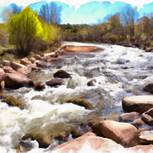 Beaver Creek
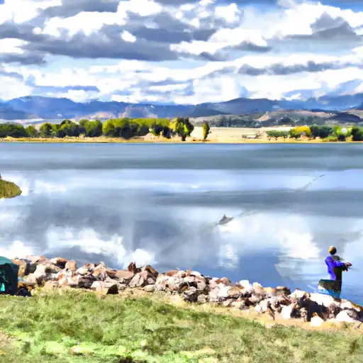 Rosemont Reservoir
 McReynolds Reservoir
 Mason Reservoir