Summary
The ideal streamflow range for this river is between 400 and 1000 cfs. This range provides paddlers with the best conditions for an enjoyable and challenging run.
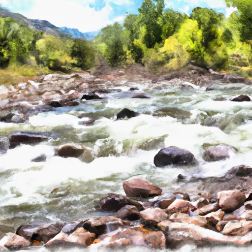
The segment of Eightmile Creek that is most commonly paddled is approximately 6 miles long, with a class rating of III-IV. This segment is known for its technical rapids, including tight drops, steep chutes, and rocky obstacles.
One of the most notable rapids on Eightmile Creek is called "Triple Drop," which consists of three consecutive drops that require precise maneuvering and timing. Other notable rapids include "S-Turn," "Pinball," and "Kiddie Pool."
Due to the technical nature of the rapids, Eightmile Creek is recommended for intermediate to advanced paddlers only. It is important to note that the river is located on private property, and paddlers must obtain permission from landowners before accessing the river.
Additionally, there are specific regulations in place for Eightmile Creek to protect the natural environment and wildlife. These regulations include restrictions on camping, fires, and the use of motorized vehicles near the river.
In summary, Eightmile Creek is a challenging and technical whitewater river run with a class rating of III-IV. The ideal streamflow range is between 400 and 1000 cfs, and paddlers must obtain permission from landowners before accessing the river. Specific regulations are in place to protect the natural environment and wildlife.
°F
°F
mph
Wind
%
Humidity
15-Day Weather Outlook
River Run Details
| Last Updated | 2025-06-28 |
| River Levels | 51 cfs (4.11 ft) |
| Percent of Normal | 82% |
| Status | |
| Class Level | None |
| Elevation | ft |
| Streamflow Discharge | cfs |
| Gauge Height | ft |
| Reporting Streamgage | USGS 07096250 |


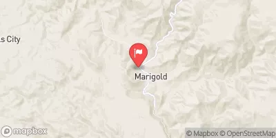
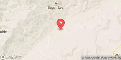
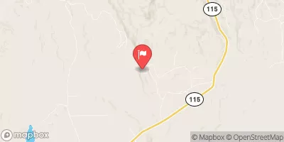
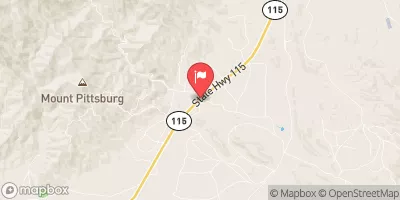
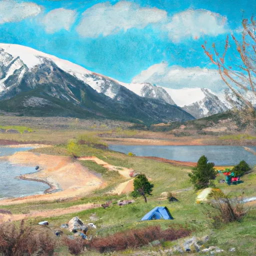 Skagware Reservoir Dispersed Camping
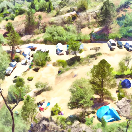 The Bank Campground Group Campsite 1
 The Bank Campground Group Campsite 2
 The Bank Campground Camp Host Site
 The Bank Campground Campsite A-1
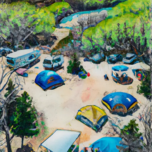 The Bank Campground Campsite A-2
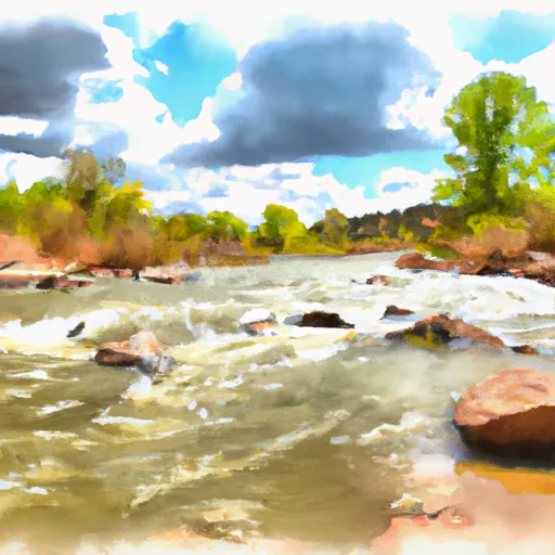 Eightmile Creek
 West Beaver Creek
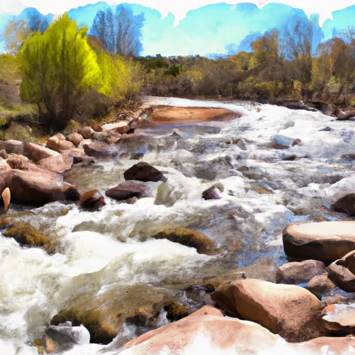 Beaver Creek
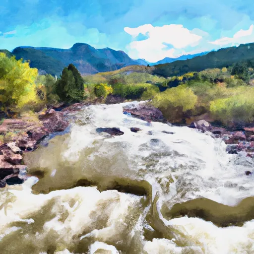 East Beaver Creek
 Red Creek
 Rosemont Reservoir
 McReynolds Reservoir
 Mason Reservoir
 Brush Hollow Reservoir