RIO VALLECITOS FISHING

Species Weather Hydrology


FISHING NEW MEXICO

Rio Vallecitos Fishing


April 27, 2024

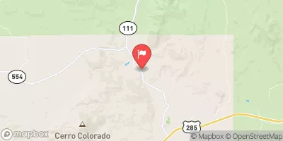
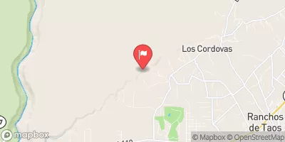
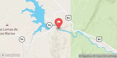
Rio Vallecitos Fishing area is a great destination for fly fishing enthusiasts in northern New Mexico. The area is situated in the Carson National Forest and offers breathtaking scenery, crystal-clear streams, and plenty of trout. The most common fish species in the area are brown, rainbow, and cutthroat trout.

Apart from fishing, visitors can enjoy hiking, camping, and wildlife watching in the surrounding areas. The best time to visit the Rio Vallecitos Fishing area is from June to October when the water levels are ideal for fishing, and the weather is pleasant. The average temperature during this time is around 70°F (21°C), making it comfortable for fishing and outdoor activities.

For fly fishing, anglers can use dry flies, nymphs, and streamers to catch the trout. It is advisable to use light tackle, as the trout in this area are generally smaller. Experienced anglers recommend using small hooks and light line to increase the chances of catching fish.

In conclusion, the Rio Vallecitos Fishing area in New Mexico is an excellent destination for fly fishing enthusiasts looking to catch brown, rainbow, and cutthroat trout. Visitors can also enjoy hiking, camping, and wildlife watching in the surrounding areas. The best time to visit is from June to October, with an average temperature of 70°F (21°C). Anglers should use light tackle, small hooks, and light line to increase their chances of catching fish.


Fish Species
Image Alt Apache Trout
Image Alt Cutthroat Trout

Weather Outlook


16 Day Long Term Forecast

Seasonal Comparison


Historical Data


Area Boat Ramps

TAOS JUNCTION BRIDGE TAOS COUNTY
Upper Rio Grande Watershed, New-Mexico
QUARTZITE BOAT TAKEOUT
Upper Rio Grande Watershed, New-Mexico
RIO BRAVO BOAT TAKEOUT
Upper Rio Grande Watershed, New-Mexico
NM 570 TAOS COUNTY
Upper Rio Grande Watershed, New-Mexico
PLATORO RESERVOIR BOATING SITE
Conejos Watershed, Colorado
DE NORTE BRIDGE LAS CRUCES NEW MEXICO ACCESS POINT
Upper Rio Grande Watershed, New-Mexico
BIG EDDY BOAT TAKE-OUT
Rio Chama Watershed, New-Mexico
COUNTY LINE BOAT LAUNCH
Upper Rio Grande Watershed, New-Mexico
CHAVEZ CANYON BOAT LAUNCH
Rio Chama Watershed, New-Mexico
COUNTY LINE BOAT TAKEOUT
Upper Rio Grande Watershed, New-Mexico

Rafting & Kayaking

ELEVEN MILE CANYON DAM TO PRIVATE LAND IN VICINITY OF LAKE GEORGE
South Platte Headwaters Watershed, Colorado
EAST BEAVER CREEK
Upper Arkansas Watershed, Colorado
ARKANSAS RIVER SEGMENT 2
Arkansas Headwaters Watershed, Colorado
WEST BEAVER CREEK
Upper Arkansas Watershed, Colorado
ARKANSAS RIVER SEGMENT 3
Arkansas Headwaters Watershed, Colorado
BEAVER CREEK
Upper Arkansas Watershed, Colorado
FOURMILE CREEK
Upper Arkansas Watershed, Colorado
COTTONWOOD CREEK
Arkansas Headwaters Watershed, Colorado
BEAVER CREEK
Upper Arkansas Watershed, Colorado
LITTLE HIGH CREEK
Upper Arkansas Watershed, Colorado

Parks & Recreation


Baca National Wildlife Refuge

Wilderness Great Sand Dunes

Great Sand Dunes National Park and Preserve

Alamosa National Wildlife Refuge

San Luis Lakes Wildlife Area

National Park Great Sand Dunes

Fullenweider Park

Wilderness La Garita

San Luis State Park

Wilderness Sangre de Cristo


TYPICAL TRAIL BELOW FAULT B
The Typical Trail Below Fault B is a popular hiking trail located in the Rio Grande-Santa Fe watershed of New Mexico. The trail runs along the base of a steep ...
BENCH AREA WITH INTERPRETIVE SIGN
The Bench Area with Interpretive Sign is located in the Rio Grande-Santa Fe watershed of New Mexico. This area is a popular destination for visitors seeking to experience the natural ...
SHELTER CAVE
Shelter Cave is located in the Rio Grande-Santa Fe watershed of New Mexico and is a unique destination for tourists interested in exploring the beauty of the region. The cave ...
BEGINNING OF THE NARROWS
The Beginning of the Narrows is a popular hiking destination located in the Rio Grande-Santa Fe watershed of New Mexico. The hike begins at the end of a dirt road ...
200 YEAR OLD PONDEROSA PINE TREE
The 200-year-old Ponderosa Pine Tree is located in the Rio Grande-Santa Fe watershed of New Mexico and is known for its impressive size and beauty. The tree stands over 160 ...
TEE-PEE GARDEN
The Tee Pee Garden is a unique geological formation located in the Rio Grande-Santa Fe watershed of New Mexico. It is a natural amphitheater with a collection of towering rocks ...
CAVE LOOP \ SLOT CANYON TRAIL FORK
The Cave Loop Slot Canyon Trail Fork is a popular hiking destination in the Rio Grande-Santa Fe watershed of New Mexico. The trail is a 4.5 miles round trip, and ...
ROAD TO VETERANS MEMORIAL SCENIC OVERLOOK
The Road to Veterans Memorial Scenic Overlook is a breathtaking drive located in the Rio Grande-Santa Fe watershed of New Mexico. This scenic route is approximately 15 miles long and ...
SLOT CANYON ENTRANCE BENCH AREA
The Slot Canyon Entrance Bench Area, located in the Rio Grande-Santa Fe watershed of New Mexico, is a popular destination for hikers and outdoor enthusiasts. The area is known for ...
KKTR NATIONAL MONUMENT WEST INFORMATIVE SIGN
Kktr National Monument West is a protected area located in the Rio Grande-Santa Fe watershed of New Mexico. The area is home to a diverse range of flora and fauna, ...

Log Your Visit

When was your last visit to Rio Vallecitos Fishing?

Add a Photo

How was it? How were conditions?

Rate the backcountry skiing


Submit

Leave A Review

Rio Vallecitos Fishing

Submit

Upload an Image

Rio Vallecitos Fishing

Favorite Limit Reached