Summary
The ideal streamflow range for the Animas River is between 1,500 and 4,000 cubic feet per second (cfs). The river is rated as Class III-IV, which means it features moderate to difficult rapids with sizable waves. The river has several segments for rafting, with the most popular being the Durango to Silverton segment, which is around 26 miles long.
The river features several notable rapids, including Smelter, Santa Rita, and Pinball, each with their own unique challenges. The Smelter rapid is a Class III drop with large waves, while the Santa Rita rapid is a Class IV rapid with a steep drop and narrow channel. The Pinball rapid is a Class III rapid with many boulders and rocks creating a challenging obstacle course for rafters.
There are specific regulations to the area, including a ban on alcohol and glass containers, and a requirement for all boaters to wear personal flotation devices. Rafting companies also have specific regulations they must follow, including permits and safety protocols.
°F
°F
mph
Wind
%
Humidity
15-Day Weather Outlook
River Run Details
| Last Updated | 2025-06-28 |
| River Levels | 1200 cfs (4.15 ft) |
| Percent of Normal | 73% |
| Status | |
| Class Level | iii-iv |
| Elevation | ft |
| Streamflow Discharge | cfs |
| Gauge Height | ft |
| Reporting Streamgage | USGS 09359020 |
5-Day Hourly Forecast Detail
Nearby Streamflow Levels
Area Campgrounds
| Location | Reservations | Toilets |
|---|---|---|
 Molas Lake Campground
|
||
 Molas Lake Public Park
|
||
 Little Molas Lake Campground
|
||
 Kendall Campground
|
||
 Cunnigham Gulch Recreation Site
|
||
 South Mineral
|


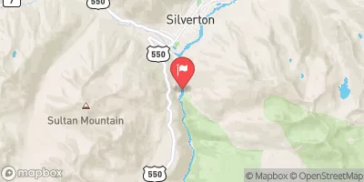
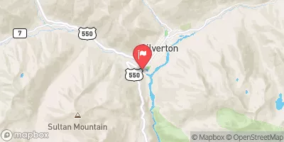
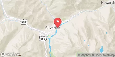
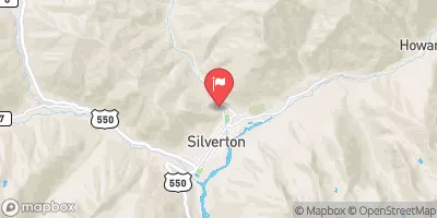
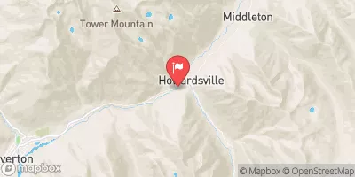
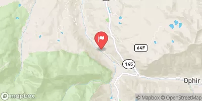
 Animas River
 South Mineral Creek
 Mineral Creek