Make an Announcement

Communicate warnings, disperse advice, and share.


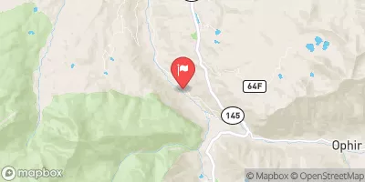
SOUTH MINERAL CREEK

Whitewater River Run


Colorado Mineral Creek, South Fork

South Mineral Creek

Class V TO V+

STREAMFLOW: 557 CFS

Too High
60°, Chance Showers Then T-Storms

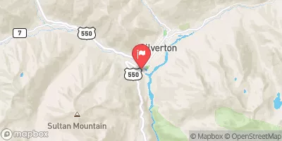
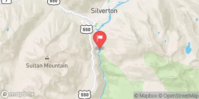
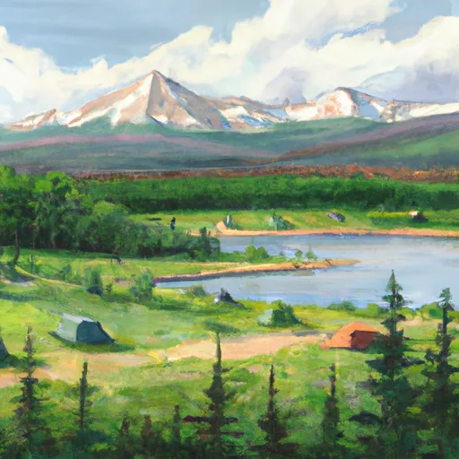
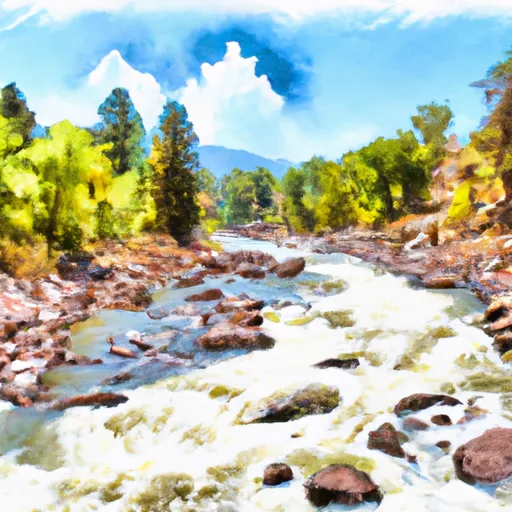
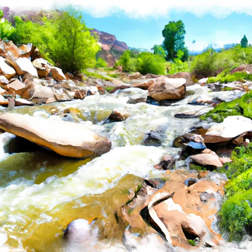
The South Mineral Creek River Run in Colorado is a beautiful, scenic float with a mix of calm pools and exciting rapids. The difficulty level is best suited for intermediate paddlers, with Class II and III rapids and some technical sections. The best time to float this section of the river is in late spring or early summer when the water levels are higher, with a recommended flow of 300-600 cfs. There are several river obstacles to watch out for, including boulder gardens, small drops, and tight turns. Overall, this river run offers a fun and challenging experience for paddlers looking to explore the beauty of Colorado.

Weather today, A chance of showers and thunderstorms, then showers and possibly a thunderstorm after noon. High near 60. South southeast wind 5 to 10 mph becoming north in the afternoon. Chance of precipitation is 80%.

Status Too High
Class Level V to V+
Elevation 9,242 ft
Run Length 0.5 Mi
Gradient 246 FPM
Streamflow Discharge 557 cfs
Gauge Height 2.5 ft
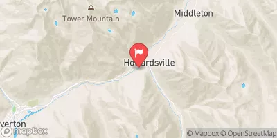
Reporting Streamgage Mineral Creek At Silverton
USGS 09359010

Nearby Streamflow Levels

Gauge Streamflow Stage
Cimarron River Bl Squaw Creek
USGS 09127000
495 cfs 9.7 ft
Surface Creek Near Cedaredge
USGS 09143000
339 cfs 4.0 ft
North Fk Gunnison River Above Mouth Nr Lazear
USGS 09136100
3,040 cfs 5.7 ft
N.F. Gunnison R Blw Leroux Cr
USGS 09135950
1,560 cfs 10.1 ft
Gunnison River Near Grand Junction
USGS 09152500
6,600 cfs 6.9 ft
Minnesota Creek Near Paonia
USGS 09134000
4 cfs ft
North Fork Gunnison River Below Paonia
USGS 09134100
3,780 cfs 4.0 ft
Hubbard Creek Above Iron Point Gulch Nr Bowie
USGS 09132940
6 cfs ft
Gunnison River Below Gunnison Tunnel
USGS 09128000
1,040 cfs 3.4 ft
E Fork Terror Cr Blw Cottonwood Stomp Nr Bowie
USGS 09132985
0 cfs ft
Snotel Site Snowpack 24hr Change

Popular Destinations

Campground Campsites Reservations Toilets Showers Elevation
Miller Creek 12 8,171 ft
Haviland Lake 43 8,159 ft
Amphitheater 35 8,254 ft
Telluride Town Park 28 8,771 ft
Matterhorn 28 9,466 ft
Sig Creek 9 9,255 ft
Molas Lake Public Park None 10,504 ft
Florida 20 8,330 ft
Sunshine 15 9,589 ft
Thistledown 9 8,501 ft
Junction Creek 44 7,275 ft
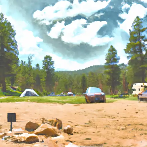
South Mineral 26 9,849 ft
Transfer Park 25 8,482 ft
Cayton 27 9,449 ft
Purgatory 14 8,827 ft
Ridgway State Park 283 7,062 ft
Ski Area Snowpack Air Temperature 5 Day Forecast
River Run Streamflow Length Class

Log Your Visit

When was your last visit to South Mineral Creek?

Add a Photo

How was it? How were conditions?

Rate the paddle


Submit

Leave A Review

South Mineral Creek

Submit

Upload an Image

South Mineral Creek
Login

Need an Account?

Forgot Your Password?

Delete User Account

Welcome to Snoflo


Continue with a free account

Already Have an Account?


Snoflo Premium

Your first week's free. Cancel anytime

Have a Promo Code?


Already Have an Account?

Signup for Basic Access


Welcome to Snoflo


Continue with a free account

Add Snoflo Premium


Already Have an Account?


Please Verify Your Account

Favorite Limit Reached
Signup for a Free Account

Already Have an Account?