Make an Announcement

Communicate warnings, disperse advice, and share.


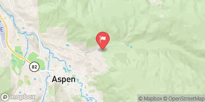
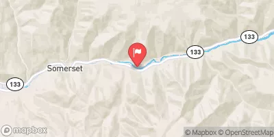
CRYSTAL MILL FALLS

Whitewater River Run


Colorado Crystal River

Crystal Mill Falls

Class V- TO V

STREAMFLOW: 1,220 CFS

Runnable
75°, Chance T-Storms

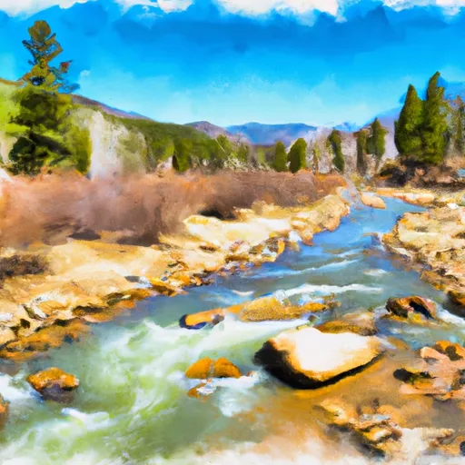
The Crystal Mill Falls river run on the Crystal River in Colorado is a Class III-IV rapids section with several challenging obstacles, including Sledgehammer, Hell's Half Mile, and Meatgrinder. The best time to float this section is in the late spring or early summer when water levels range from 400 to 800 CFS. The run requires intermediate to advanced skills and knowledge of river safety. It is essential to have proper gear, including helmets, PFDs, and drysuits. Overall, the Crystal Mill Falls run is a thrilling adventure for experienced whitewater enthusiasts.

Weather today, A 30 percent chance of showers and thunderstorms, mainly after noon. Partly sunny, with a high near 75. Southeast wind 5 to 10 mph becoming northwest in the afternoon.

Status Runnable
Class Level V- to V
Elevation 6,920 ft
Streamflow Discharge 1220 cfs
Gauge Height 3.2 ft
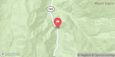
Reporting Streamgage Crystal River Ab Avalanche C
USGS 09081600

Nearby Streamflow Levels

Gauge Streamflow Stage
North Fork Gunnison River Below Paonia
USGS 09134100
3,540 cfs 3.8 ft
Taylor River At Almont
USGS 09110000
977 cfs 3.3 ft
Gunnison River Near Gunnison
USGS 09114500
2,430 cfs 2.9 ft
Tomichi Creek At Gunnison
USGS 09119000
755 cfs 4.0 ft
Ohio Creek Above Mouth Nr Gunnison
USGS 09113980
353 cfs 4.3 ft
Taylor River At Taylor Park
USGS 09107000
450 cfs 2.6 ft
Terror Creek At Mouth Near Bowie
USGS 09132995
2 cfs ft
Gunnison River Below Gunnison Tunnel
USGS 09128000
1,040 cfs 3.4 ft
East River At Almont Co.
USGS 09112500
1,450 cfs 5.2 ft
Minnesota Creek Near Paonia
USGS 09134000
4 cfs ft
Snotel Site Snowpack 24hr Change

Popular Destinations

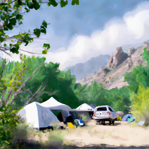
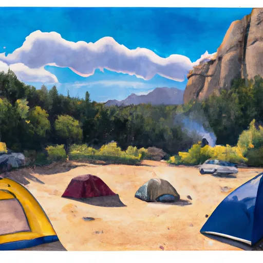
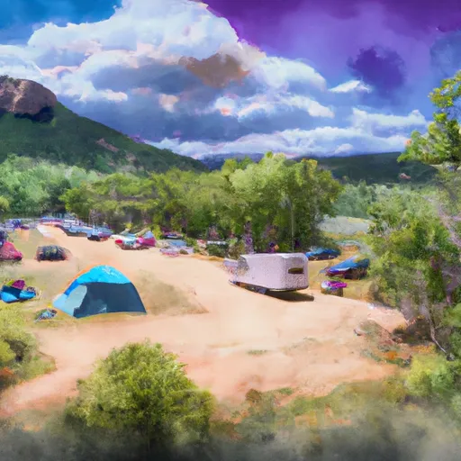
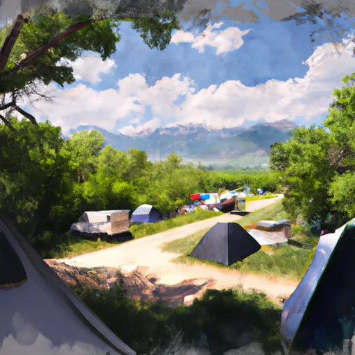
Campground Campsites Reservations Toilets Showers Elevation
Avalanche 13 7,320 ft
Bogan Flats 36 7,609 ft
Silver Queen 6 8,682 ft
Soap Creek 21 7,717 ft
Stevens Creek - Curecanti Recreation Area 54 7,540 ft
Redstone 17 7,299 ft
McClure 8 8,187 ft
Lake Irwin 32 10,400 ft
Upper Colorado Rec Area None 6,158 ft
Red Bridge 7 7,805 ft
Ponderosa - Curecanti Area 20 7,598 ft
Coffee Pot Spring 10 10,084 ft
White Owl 6 10,705 ft
Silver Bell 14 8,520 ft
Supply Basin 7 10,767 ft
Lost Lake 19 9,621 ft
Gothic 4 9,657 ft
Sweetwater Lake 9 7,739 ft
Red Creek - Curecanti Area 7 7,580 ft
Erickson Springs 18 6,830 ft
Gypsum None 6,286 ft
Palisades Senior RV Park 59 7,680 ft
Lyons Gulch Dispersed 4 6,209 ft
Dry Gulch - Curecanti Area 10 7,583 ft
Deep Lake 35 10,475 ft
Elk Creek - Curecanti Area 160 7,575 ft
Ski Area Snowpack Air Temperature 5 Day Forecast
River Run Streamflow Length Class

Log Your Visit

When was your last visit to Crystal Mill Falls?

Add a Photo

How was it? How were conditions?

Rate the paddle


Submit

Leave A Review

Crystal Mill Falls

Submit

Upload an Image

Crystal Mill Falls
Login

Need an Account?

Forgot Your Password?

Delete User Account

Welcome to Snoflo


Continue with a free account

Already Have an Account?


Snoflo Premium

Your first week's free. Cancel anytime

Have a Promo Code?


Already Have an Account?

Signup for Basic Access


Welcome to Snoflo


Continue with a free account

Add Snoflo Premium


Already Have an Account?


Please Verify Your Account

Favorite Limit Reached
Signup for a Free Account

Already Have an Account?