Royal Gorge
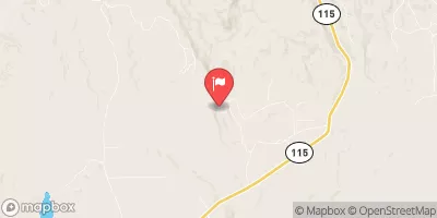
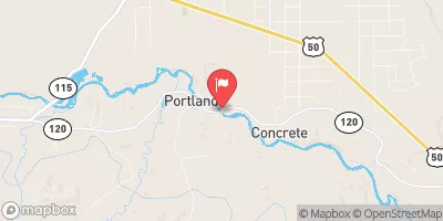
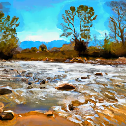
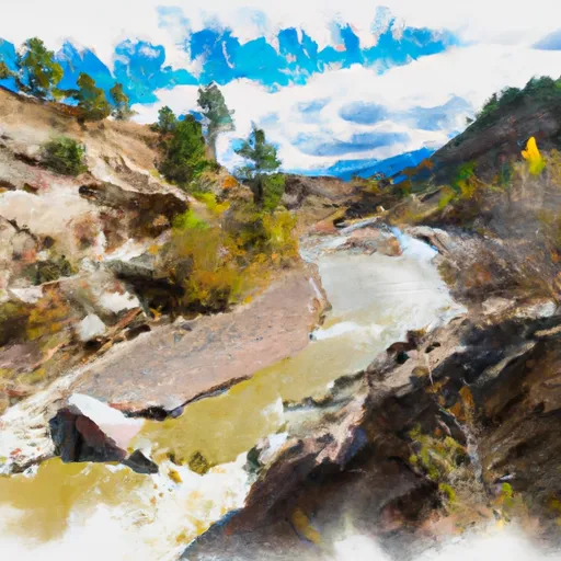
The Royal Gorge is a classic Colorado run on the Arkansas river. The highlight is entering the heart of the gorge below the famous Royal Gorge Bridge, which tourists flock to during the warm months. The bridge itself makes the dubious claim of being the world's highest suspension bridge. There's little doubt though that the view looking up from this deep and narrow gorge is spectacular. During the tourist season, expect the paparazzi to be out in full force. (bonus tip: They love it when you roll.)
Suggested river levels for paddling this section of the Arkansas River are between a bare minimum of 200cfs and a high of 7,000cfs.
River conditions sourced from USGS 07094500, the Arkansas River At Parkdale
Remember only watercraft are permitted
at Royal Gorge.
Run Stats
Status | Runnable |
Class Level | IV- to IV |
Elevation | 5,719 ft |
Run Length | 10.0 Mi |
Gradient | 46 FPM |
Streamflow Discharge | 377 cfs |
Gage Height | 2.6 ft |
Air Temperature | 71° |
River | Arkansas River |
Reporting Streamgage |
Arkansas River At Parkdale
USGS 07094500 |
Gauge | Streamflow | Stage |
---|---|---|
Cherry Creek Near Franktown
USGS 06712000 |
6 cfs | 2.7 ft |
Cottonwood Creek Near Crestone
USGS 08229500 |
4 cfs | 0.5 ft |
Fourmile Creek Below Cripple Creek Near Victor
USGS 07096250 |
9 cfs | 3.4 ft |
West Monument Creek At Air Force Academy
USGS 07103800 |
3 cfs | 1.3 ft |
Monument Creek At Palmer Lake
USGS 07103747 |
1 cfs | ft |
South Platte River Above Cheesman Lake
USGS 06700000 |
114 cfs | 5.0 ft |
South Platte River Near Lake George
USGS 06696000 |
56 cfs | 0.7 ft |
Pine Creek Abv Briargate Pkwy
USGS 07103965 |
2 cfs | 10.5 ft |
Trout Creek Blw Fern Cr Nr Westcreek
USGS 06701620 |
12 cfs | 4.1 ft |
Arkansas River At Canon City
USGS 07096000 |
371 cfs | 5.6 ft |
Snotel Site | Snowpack | 24hr Change |
---|---|---|
tabernash 2.7 nw, co
SNOTEL CO-GR-68 |
2.18" | -0.74" |
Trinchera
SNOTEL 829 |
34" | -2" |
Lake Irene
SNOTEL 565 |
61" | -2" |
Never Summer
SNOTEL 1031 |
44" | -1" |
South Colony
SNOTEL 773 |
53" | -2" |
Grizzly Peak
SNOTEL 505 |
40" | -2" |
High Lonesome
SNOTEL 1187 |
46" | -1" |
Ute Creek
SNOTEL 1005 |
33" | -2" |
Fool Creek
SNOTEL 1186 |
50" | -2" |
Hayden Pass
SNOTEL 1102 |
36" | -2" |
Niwot
SNOTEL 663 |
33" | -1" |
Phantom Valley
SNOTEL 688 |
19" | -2" |
North Costilla
SNOTEL 665 |
7" | -3" |
Culebra #2
SNOTEL 430 |
44" | 0" |
Loveland Basin
SNOTEL 602 |
53" | 0" |
Jackwhacker Gulch
SNOTEL 935 |
33" | -1" |
ward 4.6 ne, co
SNOTEL CO-BO-202 |
2.01" | -1.14" |
Wild Basin
SNOTEL 1042 |
39" | 2" |
cabin creek
SNOTEL GCRC2 |
13.79" | -0.8" |
Glen Cove
SNOTEL 1057 |
14" | 0" |
rollinsville 1.1 ssw, co
SNOTEL CO-GL-17 |
10.42" | -1.24" |
Berthoud Summit
SNOTEL 335 |
54" | -2" |
Echo Lake
SNOTEL 936 |
28" | -1" |
Jones Pass
SNOTEL 970 |
38" | -2" |
Apishapa
SNOTEL 303 |
2" | -3" |
Taos Powderhorn
SNOTEL 1168 |
58" | -1" |
cripple creek,co
SNOTEL CRIC2 |
4.71" | -0.74" |
Stillwater Creek
SNOTEL 793 |
1" | -1" |
Bear Lake
SNOTEL 322 |
44" | -1" |
Sawtooth
SNOTEL 1251 |
55" | -1" |
Lake Eldora
SNOTEL 564 |
30" | -1" |
Whiskey Ck
SNOTEL 857 |
30" | -1" |
Campground | Campsites | Reservations | Toilets | Showers | Elevation |
---|---|---|---|---|---|
Riverside | 18 | 8,052 ft | |||
Round Mountain | 15 | 8,531 ft | |||
Spillway | 23 | 8,461 ft | |||
Oak Creek | 15 | 7,649 ft | |||
Springer Gulch | 15 | 8,324 ft | |||
Cove | 4 | 8,457 ft | |||
Eleven Mile State Park | 350 | 8,616 ft | |||
Happy Meadows | 8 | 7,879 ft | |||
Blue Mountain | 21 | 8,079 ft | |||
Grape Creek - Temple Canyon Park | None | 6,160 ft |
Ski Area | Snowpack | Air Temperature | 5 Day Forecast |
---|---|---|---|
Conquistador Ski Resort | 53" | 48° | 7.77" |
River Run | Streamflow | Length | Class |
---|---|---|---|
Royal Gorge | 377.0cfs | 10.0 Mi | IV- to IV |