2026-02-17T20:00:00-07:00
...PROLONGED PERIOD OF CRITICAL FIRE WEATHER CONDITIONS SUNDAY THROUGH MID NEXT WEEK... ...EXTREMELY CRITICAL FIRE WEATHER CONDITIONS POSSIBLE TUESDAY... .Recent dry conditions combining with above normal temperatures and periods of gusty winds will bring potentially critical fire weather conditions Sunday and Monday to parts of the eastern Colorado Plains. Stronger, more widespread westerly winds are expected to develop Tuesday, possibly producing extremely critical fire weather conditions with wind gusts as high as 65 mph across the plains. * AFFECTED AREA...Fire Weather Zones 215, 238, 239, 242, 243 and 248. * TIMING...From Tuesday morning through Tuesday evening. * WINDS...West 30 to 40 mph with gusts up to 60 mph. * RELATIVE HUMIDITY...As low as 12 percent. * IMPACTS...Conditions will be favorable for rapid fire spread. Avoid outdoor burning and any activity that may produce a spark and start a wildfire.
Summary
The best time of year to float this section of water is from May to June, when the water levels are high and the rapids are at their most intense. Recommended flow rates range from 500-1000 cfs. This section of the river is not recommended for inexperienced rafters or those who are not comfortable with more challenging rapids.
°F
°F
mph
Wind
%
Humidity
15-Day Weather Outlook
River Run Details
| Last Updated | 2023-06-13 |
| River Levels | 38 cfs (2.98 ft) |
| Percent of Normal | 128% |
| Optimal Range | 200-400 cfs |
| Status | Too High |
| Class Level | V to V+ |
| Elevation | 5,305 ft |
| Run Length | 5.0 Mi |
| Gradient | 140 FPM |
| Streamflow Discharge | 21.5 cfs |
| Gauge Height | 2.9 ft |
| Reporting Streamgage | USGS 06724000 |
5-Day Hourly Forecast Detail
Nearby Streamflow Levels
 Left Hand Creek Near Boulder
|
-999cfs |
 St. Vrain Creek At Lyons
|
22cfs |
 South St. Vrain Creek Near Ward
|
3cfs |
 Fourmile Creek At Orodell
|
2cfs |
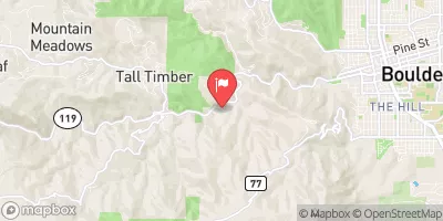 Boulder Creek Near Orodell
|
-999cfs |
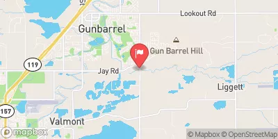 Boulder Cr At North 75th St Nr Boulder
|
12cfs |
Area Campgrounds
| Location | Reservations | Toilets |
|---|---|---|
 Glacier View Ranch
|
||
 Peaceful Valley
|
||
 Peaceful Valley Campground
|
||
 Meadow Park
|
||
 Camp Dick Campground
|
||
 Allenspark Dispersed Camping
|


 SSV - Confluence to Picnic Grounds
 NSV
NSV
 Black Bear Hole & A-Hole
 October Hole
 Begins 0.5 Miles Upstream From End Of County Hwy 115 To Eastern Boundary Of Rocky Mountain National Park
 Headwaters To Ends 0.5 Miles Upstream From End Of County Hwy 115
 Wonderland Lake Park
 North Central Boulder Park
 Pineview Park
 North Boulder Lit League Field
 Palo North Park
 South Saint Vrain Fishing Site #4
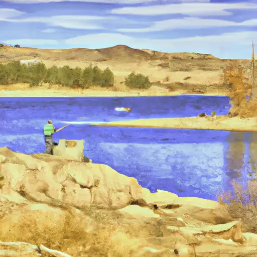 Ralph Price Reservoir (Button Rock)
 South Saint Vrain Fishing Site #2
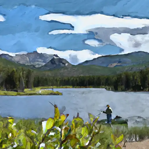 Copeland Lake - RMNP
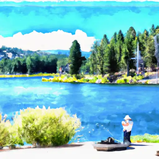 Wonderland Lake