
2026-01-02T17:00:00-07:00
* WHAT...Snow expected. Total snow accumulations between 6 and 12 inches with locally higher amounts possible. * WHERE...Flat Tops, Northwest San Juan Mountains, Southwest San Juan Mountains, Gore and Elk Mountains/Central Mountain Valleys, and West Elk and Sawatch Mountains above 9500 feet. * WHEN...Until 5 PM MST Friday. * IMPACTS...Travel could be very difficult. The hazardous conditions could impact the Thursday evening and Friday morning commutes.
Summary
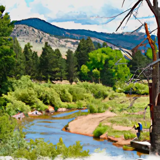
The river features many challenging obstacles, including Pillow Rock, Iron Ring, and Sweets Falls, which require precise maneuvering and expert navigation. The best time to float this section of water is during the fall, when water levels are high and the rapids are at their most intense. Recommended flow levels range from 2,200 to 3,000 cfs. This is an advanced river run that requires previous experience and a high level of skill.
River Run Details
| Last Updated | 2023-06-13 |
| River Levels | 57 cfs (5.87 ft) |
| Percent of Normal | 85% |
| Optimal Range | 250-1000 cfs |
| Status | Too Low |
| Class Level | II+ to III |
| Elevation | 7,725 ft |
| Run Length | 4.0 Mi |
| Streamflow Discharge | 17.5 cfs |
| Gauge Height | 5.2 ft |
| Reporting Streamgage | USGS 09066510 |

Weather Forecast
Nearby Streamflow Levels
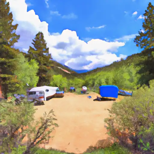
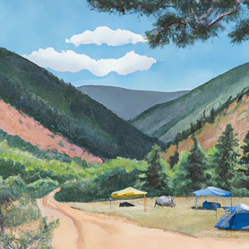
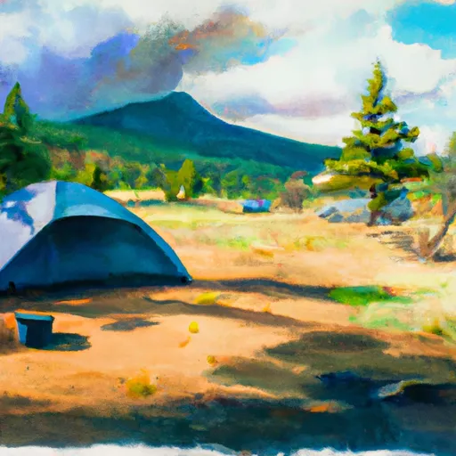
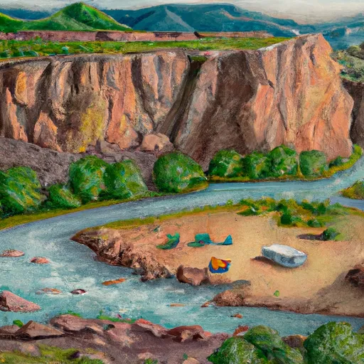
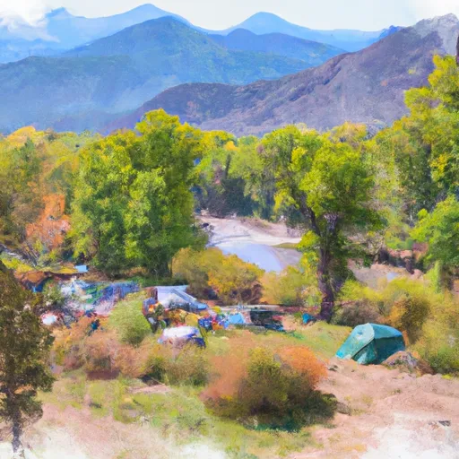
Area Campgrounds
| Location | Reservations | Toilets |
|---|---|---|
 Gore Creek
|
||
 Gore Creek Campground
|
||
 Tigiwon Community House
|
||
 Tigiwon
|
||
 Blue River
|
||
 Blue River Campground
|
 Upper Gore Creek
 Dowd Chute
 Riverbend to Edwards (Upper Eagle)
 Upper Blue (Blue River CG to Columbine Landing)
 Middle Ten Mile
 Bighorn Park
 Pirate Ship Playground
 Red Sandstone Park
 Donovan Park
 Buffehr Park
 Kiln Creek
 Upper Cataract Lake
 Officers Gulch Pond
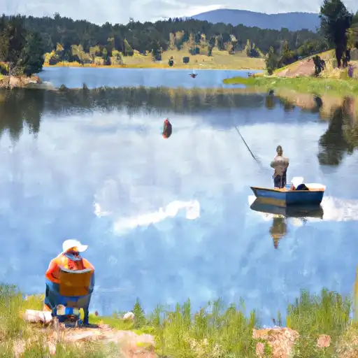 Nottingham Lake
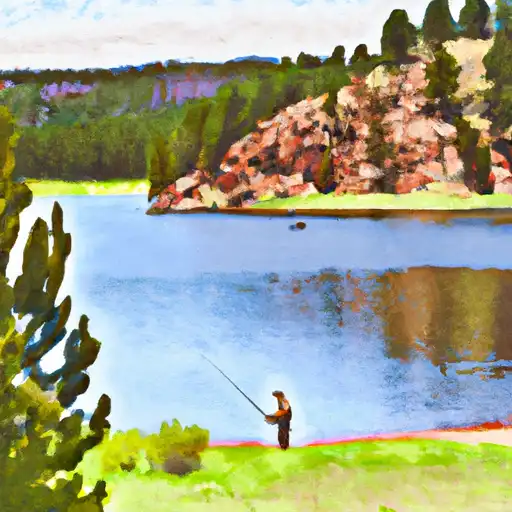
 Giberson Bay Day Use Fishing Site