Make an Announcement

Communicate warnings, disperse advice, and share.


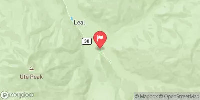
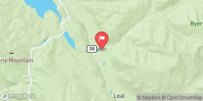
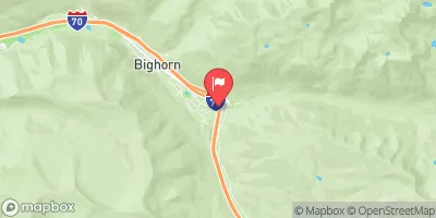
UPPER BLUE (BLUE RIVER CG TO COLUMBINE LANDING)

Whitewater River Run


Colorado Blue River

Upper Blue (Blue River Cg To Columbine Landing)

Class III TO IV-

STREAMFLOW: 950 CFS

Too High
63°, Slight Chance T-Storms Then T-Storms

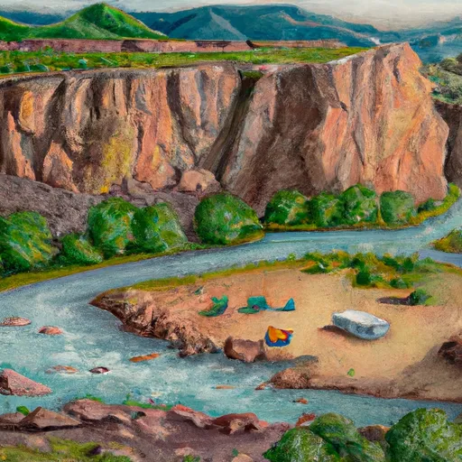
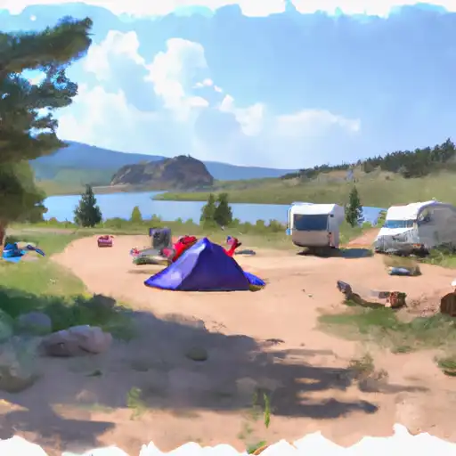
The Upper Blue River CG to Columbine Landing river run on the Arkansas River in Colorado is a moderate to difficult level Class III river. The best time to float this section of water is from May to July, with recommended CFS levels between 800 and 2,000. This section of the river has several challenging obstacles, including several steep drops and tight turns, making it a thrilling and exciting experience for intermediate to advanced level paddlers. Safety precautions are necessary, and it is recommended to wear a life jacket and helmet. It is a beautiful stretch of river, offering stunning scenery and wildlife sightings, making it a must-visit for any avid rafter or kayaker looking for an exciting adventure.

Weather today, Showers and thunderstorms likely, then showers and possibly a thunderstorm after 2pm. High near 63. North northwest wind 5 to 10 mph becoming southeast in the morning. Chance of precipitation is 90%. New rainfall amounts between a tenth and quarter of an inch, except higher amounts possible in thunderstorms.

Status Too High
Class Level III to IV-
Elevation 8,929 ft
Run Length 3.0 Mi
Gradient 35 FPM
Streamflow Discharge 950 cfs
Gauge Height 4.2 ft
Reporting Streamgage Arkansas River At Granite
USGS 07086000

Nearby Streamflow Levels

Gauge Streamflow Stage
Eagle R Bl Wastewater Treatment Plant At Avon
USGS 09067020
1,850 cfs 7.0 ft
Williams Fork Near Leal
USGS 09036000
485 cfs 3.2 ft
Elk Creek At Upper Station
USGS 09025300
8 cfs 5.5 ft
Blue River Below Green Mountain Reservoir
USGS 09057500
199 cfs 3.5 ft
Beaver Creek At Avon
USGS 09067000
64 cfs 2.8 ft
Willow Creek Below Willow Creek Reservoir
USGS 09021000
8 cfs 2.5 ft
Straight Cr Blw Laskey Gulch Nr Dillon
USGS 09051050
71 cfs 4.9 ft
Gore Creek Abv Red Sandstone Creek At Vail
USGS 09066325
683 cfs 8.3 ft
Colorado River Below Lake Granby
USGS 09019000
66 cfs 3.8 ft
Fraser River At Upper Sta
USGS 09022000
80 cfs 1.6 ft
Snotel Site Snowpack 24hr Change

Popular Destinations

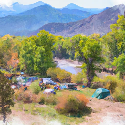
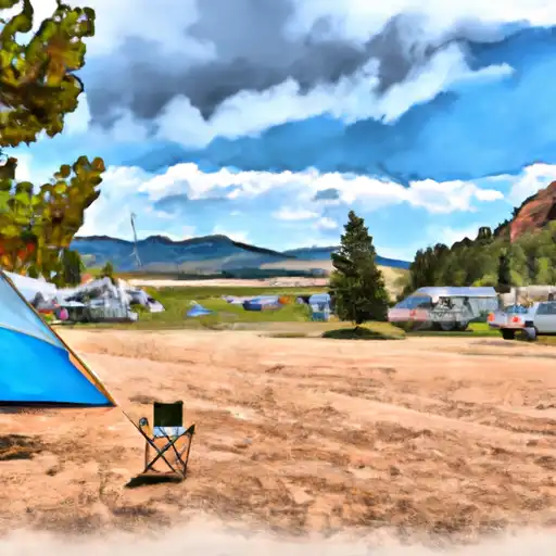
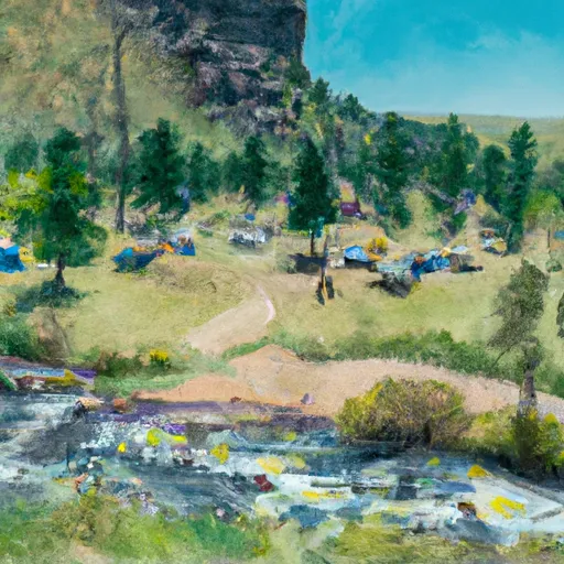
Campground Campsites Reservations Toilets Showers Elevation
Willows 35 7,973 ft
Horseshoe 19 10,538 ft
Pine Cove 56 9,022 ft
Sugar Loaf 11 8,989 ft
Prairie Point 33 8,002 ft
Blue River 24 8,472 ft
Kite Lake 5 12,043 ft
Selkirk 15 10,488 ft
Ranger Lakes - State Forest State Park 32 9,244 ft
Gore Creek 25 8,720 ft
Heaton Bay 81 9,072 ft
Sawmill Gulch 5 8,482 ft
Willow Creek 35 8,201 ft
Fourmile 14 10,824 ft
Mcdonald Flats 13 7,955 ft
Davis Springs 7 7,984 ft
Peak One 74 9,030 ft
Prospector 107 9,105 ft
Dexter 24 9,271 ft
Buffalo Springs 18 9,187 ft
Beaver Creek Unti - Hot Sulphur State Wildlife Area 10 7,592 ft
Camp Hale Memorial 21 9,318 ft
Lowry 24 9,068 ft
Williams Fork Reservoir - SWA 24 7,848 ft
Denver Creek 22 8,585 ft
Elliott Creek 15 8,018 ft
Cataract Creek 5 8,578 ft
Weston Pass 14 10,277 ft
Ski Area Snowpack Air Temperature 5 Day Forecast
River Run Streamflow Length Class

Log Your Visit

When was your last visit to Upper Blue (Blue River CG to Columbine Landing)?

Add a Photo

How was it? How were conditions?

Rate the paddle


Submit

Leave A Review

Upper Blue (Blue River Cg To Columbine Landing)

Submit

Upload an Image

Upper Blue (Blue River Cg To Columbine Landing)
Login

Need an Account?

Forgot Your Password?

Delete User Account

Welcome to Snoflo


Continue with a free account

Already Have an Account?


Snoflo Premium

Your first week's free. Cancel anytime

Have a Promo Code?


Already Have an Account?

Signup for Basic Access


Welcome to Snoflo


Continue with a free account

Add Snoflo Premium


Already Have an Account?


Please Verify Your Account

Favorite Limit Reached
Signup for a Free Account

Already Have an Account?