Summary
The run begins with a steep drop into a narrow canyon and features several large boulders and technical rapids. The best time of year to float this section is in the late spring or early summer when the water levels are high, with recommended flow rates of 600-1000 CFS. The river is not recommended for beginners or inexperienced paddlers due to the challenging rapids and potential hazards. It is important to be prepared with proper safety equipment and to check the water conditions and weather forecast before embarking on this run.
°F
°F
mph
Wind
%
Humidity
15-Day Weather Outlook
River Run Details
| Last Updated | 2023-06-13 |
| River Levels | 182 cfs (3.29 ft) |
| Percent of Normal | 84% |
| Optimal Range | 150-5000 cfs |
| Status | Too High |
| Class Level | V- to V+ |
| Elevation | 5,245 ft |
| Run Length | 0.5 Mi |
| Streamflow Discharge | 48.9 cfs |
| Gauge Height | 2.8 ft |
| Reporting Streamgage | USGS 06752000 |
5-Day Hourly Forecast Detail
Nearby Streamflow Levels
Area Campgrounds
| Location | Reservations | Toilets |
|---|---|---|
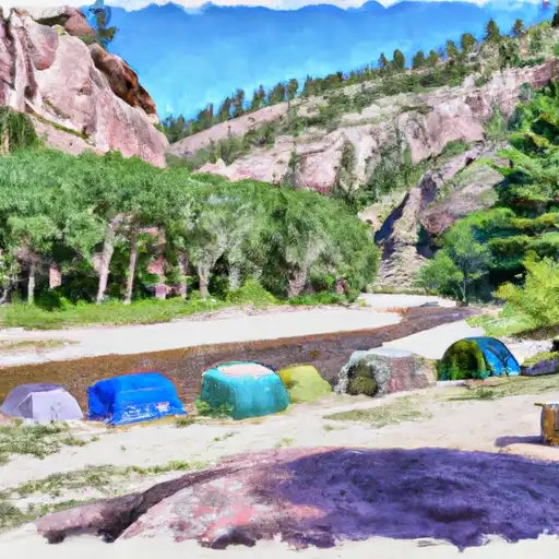 Lower Narrows
|
||
 Narrows
|
||
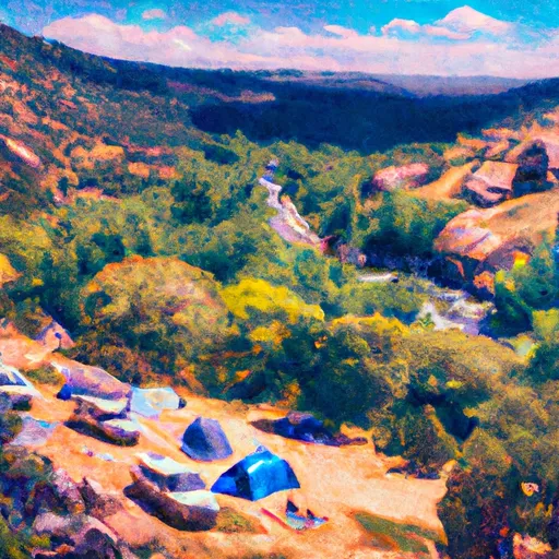 Narrows Campground: Upper and Lower
|
||
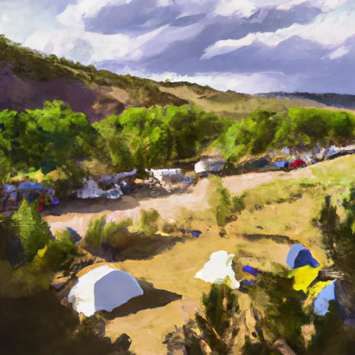 Dutch George Campground
|
||
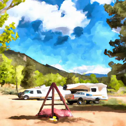 Dutch George
|
||
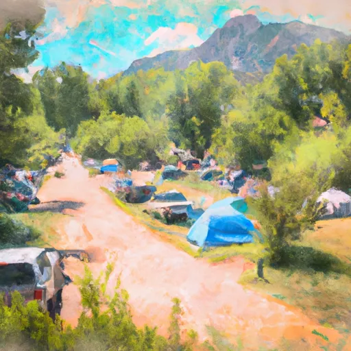 Mountain Park Group Campground
|


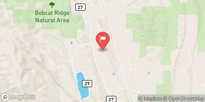
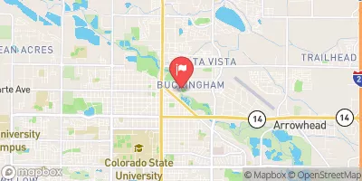
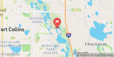
 Pineview River Access Point (Put-In, Take-Out)
 Upper Narrows
 Middle Narrows
 Lower Narrows
 Steven's Gulch to Bridges Take Out
 Filter Plant
 Indian Meadows Fishing Site
 Parvin Lake
 Seaman Reservoir
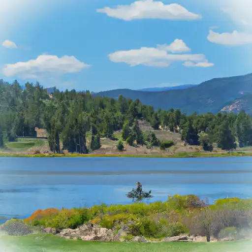 Dowdy Lake
 West Lake