2026-01-25T05:00:00-07:00
* WHAT...Snow expected. Total snow accumulations between 6 and 12 inches, with locally higher amounts on favored aspects. * WHERE...Northwest San Juan Mountains, Southwest San Juan Mountains, Gore and Elk Mountains/Central Mountain Valleys, Grand and Battlement Mesas, and West Elk and Sawatch Mountains. * WHEN...Until 5 AM MST Sunday. * IMPACTS...Travel could be very difficult to impossible. The hazardous conditions could impact the Friday morning and evening commutes.
Crystal Mill Falls Paddle Report
Last Updated: 2023-06-13
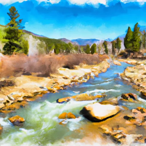
The Crystal Mill Falls river run on the Crystal River in Colorado is a Class III-IV rapids section with several challenging obstacles, including Sledgehammer, Hell's Half Mile, and Meatgrinder.
°F
°F
mph
Wind
%
Humidity
15-Day Weather Outlook
Summary
The best time to float this section is in the late spring or early summer when water levels range from 400 to 800 CFS. The run requires intermediate to advanced skills and knowledge of river safety. It is essential to have proper gear, including helmets, PFDs, and drysuits. Overall, the Crystal Mill Falls run is a thrilling adventure for experienced whitewater enthusiasts.
River Run Details
| Last Updated | 2023-06-13 |
| River Levels | 310 cfs (1.67 ft) |
| Percent of Normal | 102% |
| Optimal Range | 400-2000 cfs |
| Status | Too Low |
| Class Level | V- to V |
| Elevation | 6,920 ft |
| Streamflow Discharge | 43.4 cfs |
| Gauge Height | 0.6 ft |
| Reporting Streamgage | USGS 09081600 |
Hourly Weather Forecast
Nearby Streamflow Levels
Area Campgrounds
| Location | Reservations | Toilets |
|---|---|---|
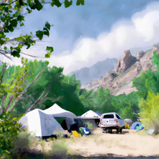 Gothic Campground - Gunnison RD
|
||
 Gothic
|
||
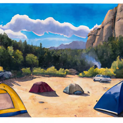 Gothic Campground
|
||
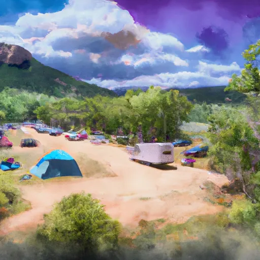 Bogan Flats Group Campground
|
||
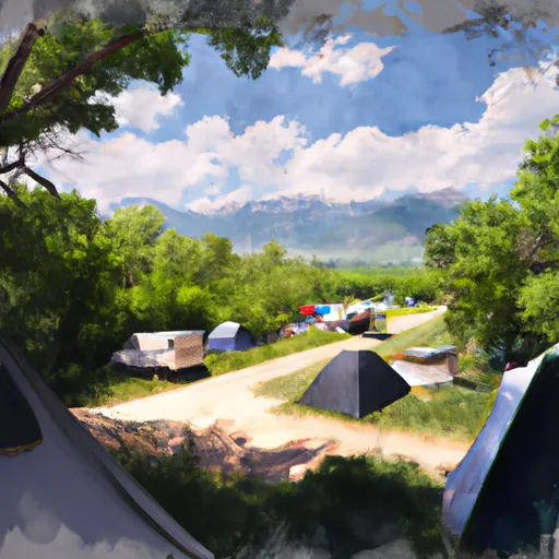 Bogan Flats Campground
|
||
 Bogan Flats
|


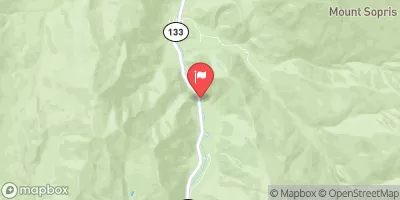
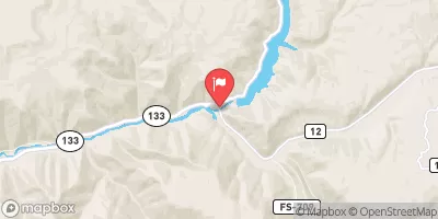
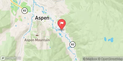
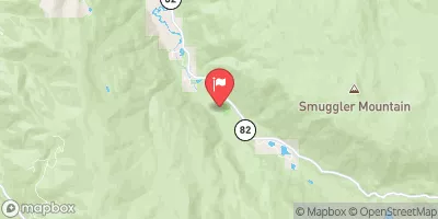
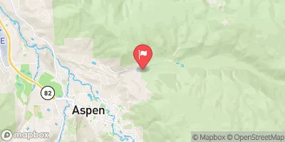
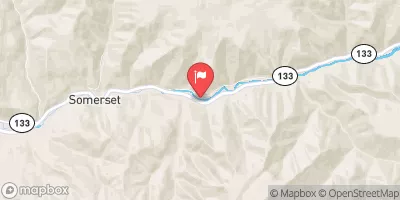
 Crystal Mill Falls
 Maroon Bells/Snowmass Wilderness Boundary To Confluence With South Fork
 North Fork--Headwaters To Maroon Bells/Snowmass Wilderness Boundary
 South Fork--Headwaters To Beaver Lake
 Bogan Canyon
 Waterfall to Confluence