Summary
Baker Highway river run in Washington offers class II-III rapids and stunning scenic views. This section of the river has several obstacles to watch out for, including numerous log jams and boulder gardens that can make navigation tricky. The best time to float this section of water is in the spring when the snowmelt brings the CFS up to around 1000-2000. During the summer, the flow drops to around 500-1000 CFS, making the rapids less challenging. Experienced kayakers or rafters will find this section of the river exciting, while beginners should consider taking a guided tour.
°F
°F
mph
Wind
%
Humidity
15-Day Weather Outlook
River Run Details
| Last Updated | 2023-06-13 |
| River Levels | 390 cfs (2.15 ft) |
| Percent of Normal | 105% |
| Optimal Range | 650-2100 cfs |
| Status | Too Low |
| Class Level | II+ to III |
| Elevation | 1,298 ft |
| Run Length | 9.0 Mi |
| Gradient | 50 FPM |
| Streamflow Discharge | 447 cfs |
| Gauge Height | 2.6 ft |
| Reporting Streamgage | USGS 12205000 |
5-Day Hourly Forecast Detail
Nearby Streamflow Levels
Area Campgrounds
| Location | Reservations | Toilets |
|---|---|---|
 Douglas Fir
|
||
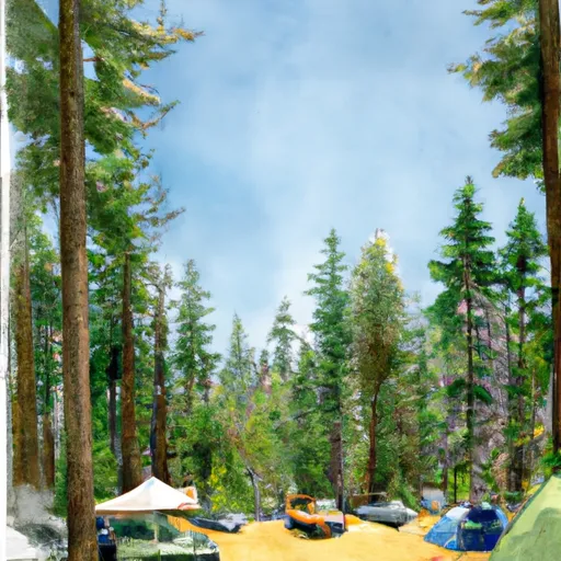 Douglas Fir Campground
|
||
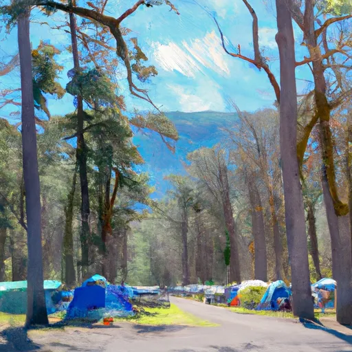 Excelsior
|
||
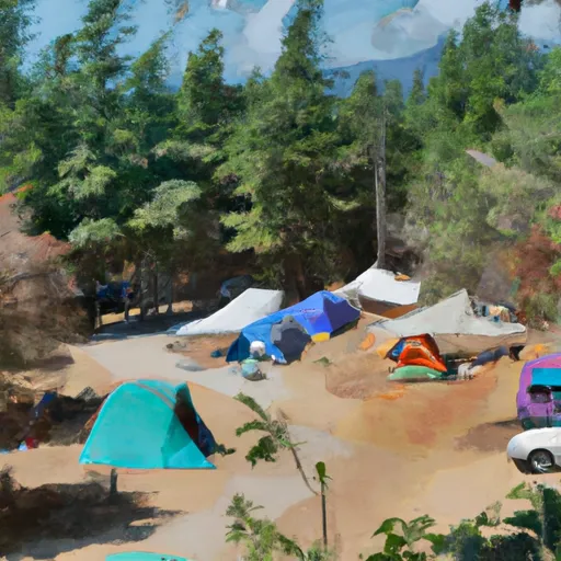 Excelsior Group Campground
|
||
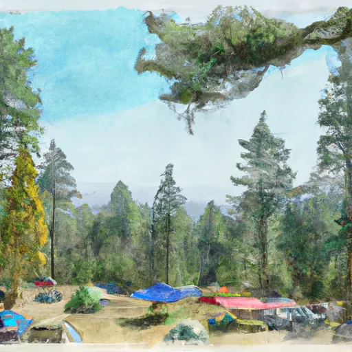 Hogsback Camp
|
||
 Gargoyle Rocks
|


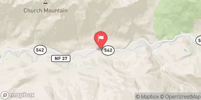
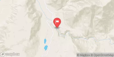
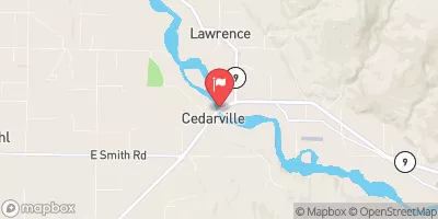
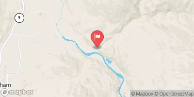
 Douglas Fir Campground to Mt. Baker Highway
 Nooksack Falls Diversion Dam To Nooksack Falls Power Plant
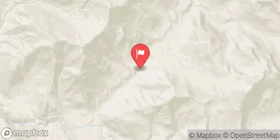
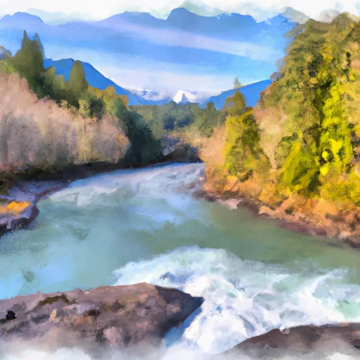 Mt. Baker Wilderness Boundary To Nooksack Falls Diversion Dam
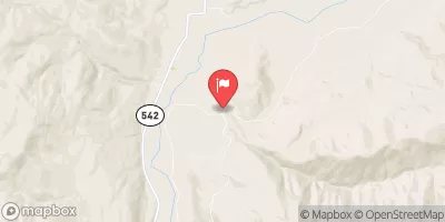
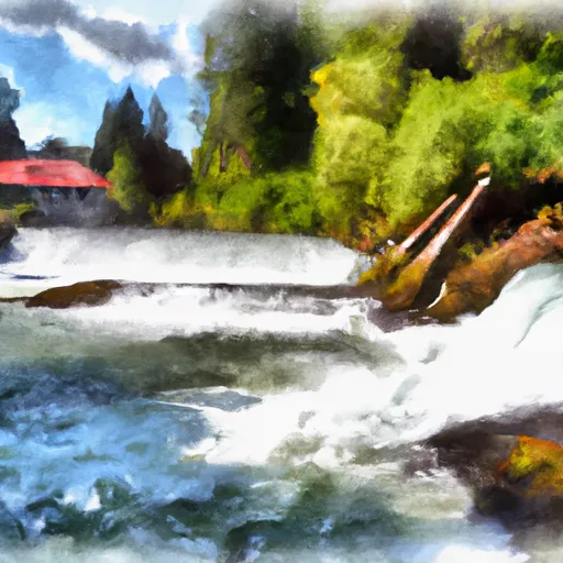 Nooksack Falls Power Plant To Fish Hatchery Near Kendall, Wa