Summary
°F
°F
mph
Wind
%
Humidity
15-Day Weather Outlook
River Run Details
| Last Updated | |
| River Levels | cfs ( ft) |
| Percent of Normal | +100% |
| Status | |
| Class Level | IV |
| Elevation | ft |
| Run Length | 13.0 Mi |
| Gradient | 76 FPM |
| Streamflow Discharge | cfs |
| Gauge Height | ft |
| Reporting Streamgage | USGS |
5-Day Hourly Forecast Detail
Nearby Streamflow Levels
Area Campgrounds
| Location | Reservations | Toilets |
|---|---|---|
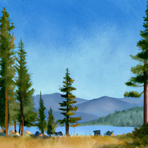 Josephus Lake
|
||
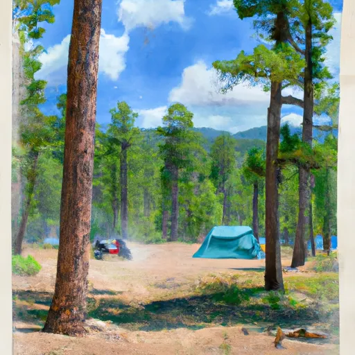 Josephus Lake Campground
|
||
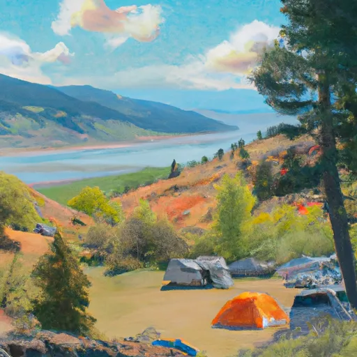 Oakie Point Campsite
|
||
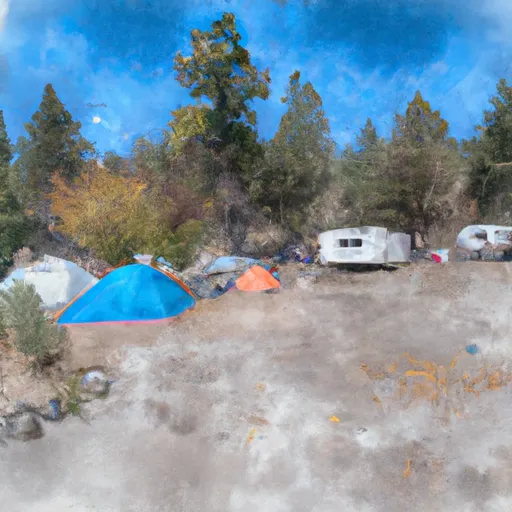 Greyhound Campsite
|
||
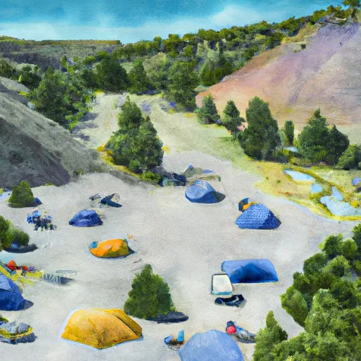 Dome Hole Campsite
|
||
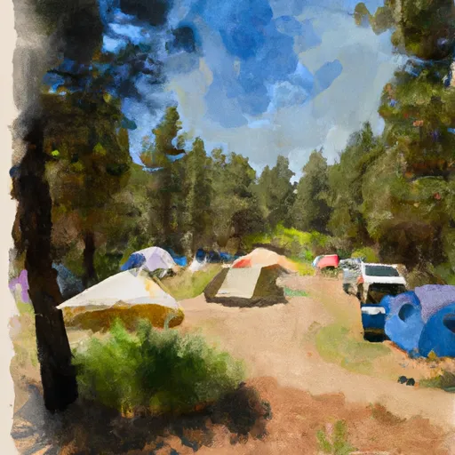 Scout Campsite
|


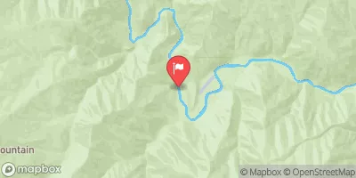
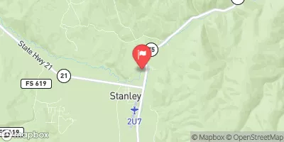
 Float Creek to Middle Fork of the Salmon
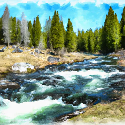 Headwaters To 1 Mile Downstream Of Soldier Lake
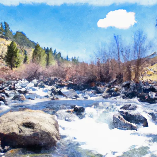 Headwaters To 1 Mile Downstream Of Cut Throat Lake
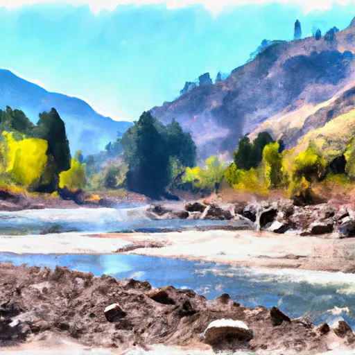 Wilderness Boundary To Confluence With Middle Fork Salmon River
 Boundary Creek to Cache Bar