Summary
The ideal streamflow range for the run is between 600 and 2000 cubic feet per second (cfs), ensuring that the river is not too low or too high. The segment covers a distance of 15 miles, starting 2 miles below the dam on Lake Talquin and ending at Ochlockonee Bay. The river is rated as a Class II-III, with numerous rapids and obstacles along the way, including the notorious "Whitewater Rapid" and "Big Rock Rapid." Paddlers are advised to exercise caution and bring proper gear, including helmets and life jackets.
There are specific regulations to the area, including the requirement of a Florida fishing license for those who intend to fish in the river. Additionally, camping is allowed only in designated areas, and fires are not permitted. The river is also subject to seasonal closures to protect wildlife and their habitats. Overall, the Whitewater River Run offers an exciting and challenging adventure for experienced paddlers, with stunning scenery and unique challenges along the way.
°F
°F
mph
Wind
%
Humidity
15-Day Weather Outlook
River Run Details
| Last Updated | 2026-02-07 |
| River Levels | 262 cfs (3.52 ft) |
| Percent of Normal | 17% |
| Status | |
| Class Level | ii-iii |
| Elevation | ft |
| Streamflow Discharge | cfs |
| Gauge Height | ft |
| Reporting Streamgage | USGS 02330000 |
5-Day Hourly Forecast Detail
Nearby Streamflow Levels
 Ochlockonee River Nr Bloxham
|
587cfs |
 Little River Nr Midway
|
104cfs |
 Ochlockonee River Nr Smith Creek
|
813cfs |
 Telogia Creek Nr Bristol
|
82cfs |
 Little River Nr Quincy
|
98cfs |
 Sopchoppy River Nr Sopchoppy
|
23cfs |
Area Campgrounds
| Location | Reservations | Toilets |
|---|---|---|
 Hall Landing
|
||
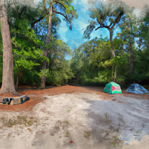 Buckhorn Hunt Camp
|
||
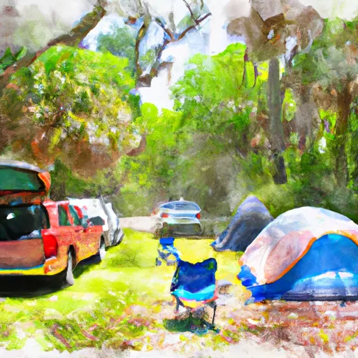 Williams Landing
|
||
 Brown House
|
||
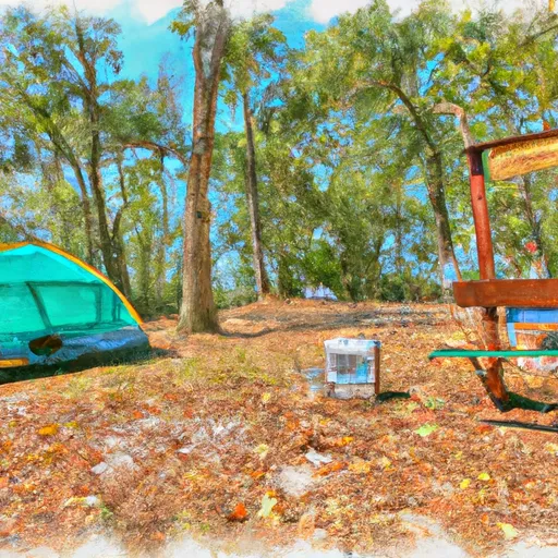 Brown House Hunt Camp
|
||
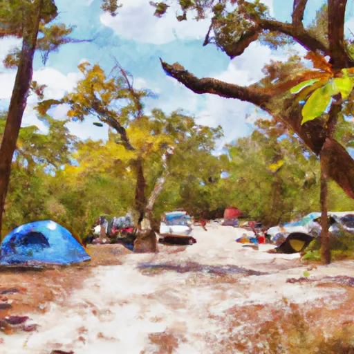 High Bluff Campground
|


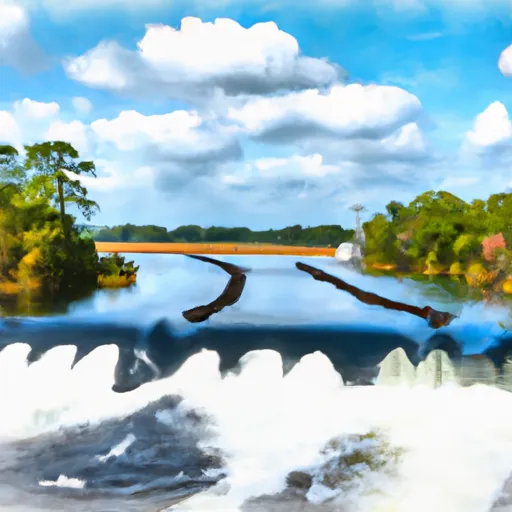 2 Miles Below Dam On Lake Talquin To Ochlockonee Bay
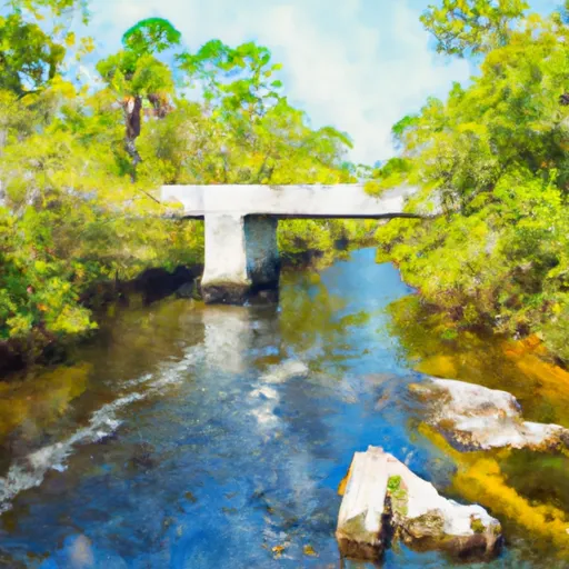 Headwaters To Concrete Bridge (Burnt Bridge) On Fh 13 (Where River Enters Bradwell Ray Wilderness)
 Robert Brent Wildlife Management Area
 Lake Talquin State Forest
 Bear Creek Educational Forest
 Lake Talquin State Park
 Joe Budd Wildlife Management Area