Confluence Of Brasstown Creek And Little Brasstown Creek Just South Of Brasstown Falls Road (Fs 751) To Confluence Of Mill Branch, Brasstown Creek And Boatwright Creek Near Boatwright Road (Fs 753) Paddle Report
Last Updated: 2026-02-07
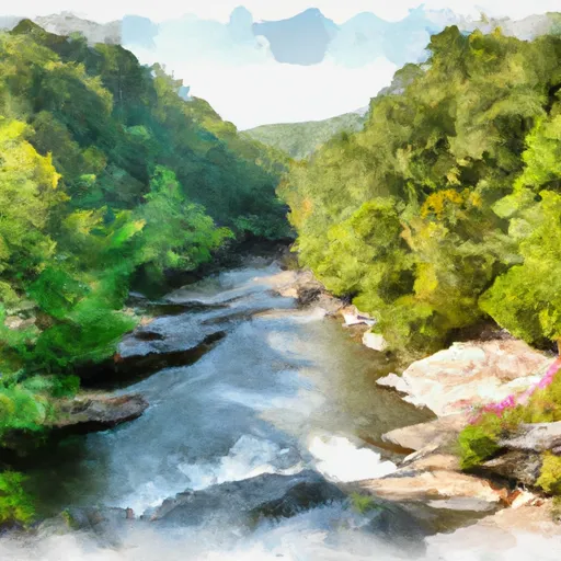
The Whitewater River Run in Georgia is an exciting adventure for kayakers and rafters.
Summary
The ideal streamflow range for the run is between 200-400 cfs, making it a challenging but manageable experience. The class rating of the run varies from Class II to Class IV, depending on the segment. The total segment mileage is approximately 6 miles.
One of the most challenging rapids on the run is the Boatwright Falls Rapid, which is a Class IV. This rapid has a steep drop and a large rooster tail that can be difficult to navigate. Other rapids on the run include the Little Brasstown Falls Rapid, a Class II, and the Big Brasstown Falls Rapid, a Class III.
There are specific regulations in place for the Whitewater River Run. All participants are required to wear a personal flotation device (PFD) and a helmet. Additionally, this area has strict regulations on camping and fires. It is important to check with the local authorities before planning a camping trip in the area.
In conclusion, the Whitewater River Run in Georgia is an exciting and challenging adventure for kayakers and rafters. With a range of Class II to Class IV rapids and a total segment mileage of 6 miles, there is an experience for all skill levels. However, it is important to follow the specific regulations and check the ideal streamflow range before embarking on the adventure.
°F
°F
mph
Wind
%
Humidity
15-Day Weather Outlook
River Run Details
| Last Updated | 2026-02-07 |
| River Levels | 41 cfs (5.16 ft) |
| Percent of Normal | 60% |
| Status | |
| Class Level | ii-iv |
| Elevation | ft |
| Streamflow Discharge | cfs |
| Gauge Height | ft |
| Reporting Streamgage | USGS 02181580 |
5-Day Hourly Forecast Detail
Nearby Streamflow Levels
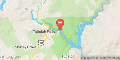 Tallulah River Ab Powerhouse
|
46cfs |
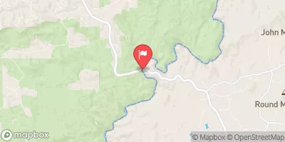 Chattooga River Near Clayton
|
335cfs |
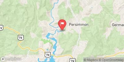 Tallulah River Near Clayton
|
118cfs |
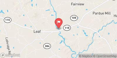 Chattahoochee River Near Leaf
|
226cfs |
 Chattahoochee River Near Cornelia
|
399cfs |
 Chattahoochee River At Helen
|
78cfs |
Area Campgrounds
| Location | Reservations | Toilets |
|---|---|---|
 Lake Yonah County Park
|
||
 Tallulah Gorge State Park
|
||
 Toccoa Falls College RV Park
|
||
 Cassidy Bridge Hunt Camp
|
||
 Rabun Beach
|
||
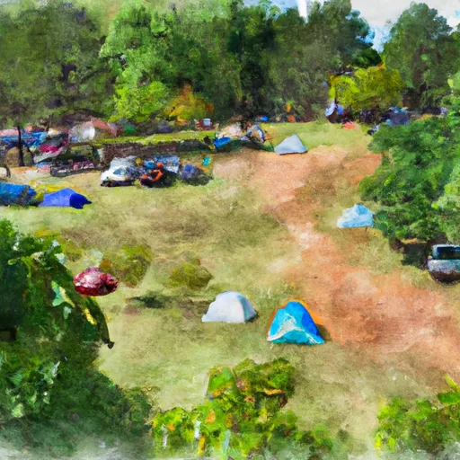 Pear Tree Hill Group Camp
|
River Runs
-
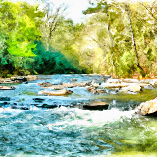 Confluence Of Brasstown Creek And Little Brasstown Creek Just South Of Brasstown Falls Road (Fs 751) To Confluence Of Mill Branch, Brasstown Creek And Boatwright Creek Near Boatwright Road (Fs 753)
-
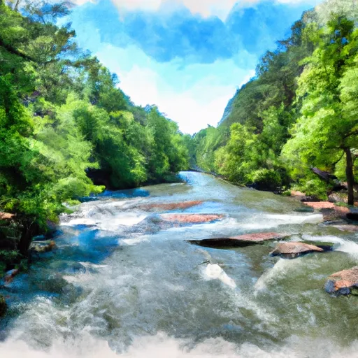 South Of Cedar Creek Rifle Range To Confluence With Chauga River
-
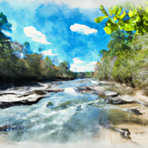 1/4 Mile Below Fs 745 And Cassidy Bridge Hunt Camp To Confluence Of Cedar Creek
-
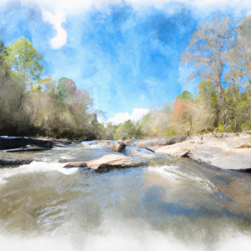 Confluence Of Cedar Creek To 1/4 Mile Below The Nf Boundary And Fh 110, Cobbs Bridge Road
-
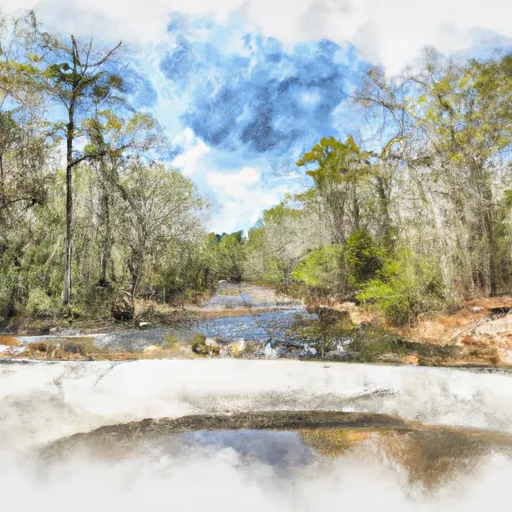 Crpssing Of Land Bridge Road, Sc 196 To 1/4 Mile Below Fs 745 And Cassidy Bridge Hunt Camp


 National Wild and Scenic River Chattooga, North Carolina, South Carolina and Georgia
 Tallulah Gorge State Park
 Henderson Falls Park
 Tallulah Falls Lake
 Lawson Lake
 Lake Rabun
 Presbyterian Lake
 Seed Lake