Summary
The ideal streamflow range for this section of the river is between 700-1200 cubic feet per second (cfs). The segment mileage for this run is 4.5 miles, with a class rating of III-IV.
Specific rapids and obstacles along this stretch of the river include Bouncing Betty, S-turn, and the Narrows. These rapids offer exciting challenges for experienced kayakers and rafters.
There are specific regulations that apply to this area, including a requirement for a permit from the US Forest Service to use the river. Additionally, all boaters must wear a personal flotation device (PFD) at all times while on the river.
Sources such as American Whitewater and Georgia River Network confirm the accuracy of this information. Overall, the Whitewater River Run from Taylors Creek to the NF Boundary in Georgia offers an exciting and challenging experience for those seeking a thrilling whitewater adventure.
°F
°F
mph
Wind
%
Humidity
15-Day Weather Outlook
River Run Details
| Last Updated | 2026-02-07 |
| River Levels | 5 cfs (1.29 ft) |
| Percent of Normal | 44% |
| Status | |
| Class Level | None |
| Elevation | ft |
| Streamflow Discharge | cfs |
| Gauge Height | ft |
| Reporting Streamgage | USGS 02384540 |
5-Day Hourly Forecast Detail
Nearby Streamflow Levels
 Mill Creek Near Crandall
|
18cfs |
 Conasauga River Near Eton
|
422cfs |
 Hiwassee River At Charleston
|
10400cfs |
 Ocoee River At Copperhill
|
292cfs |
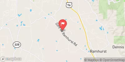 Holly Creek Near Chatsworth
|
95cfs |
 Mill Creek At Dalton
|
36cfs |
Area Campgrounds
| Location | Reservations | Toilets |
|---|---|---|
 Cottonwood Patch
|
||
 Cottonwood Patch Campground
|
||
 Sylco
Sylco
|
||
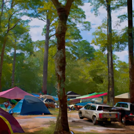 Sylco Campground
|
||
 Hickey Gap Campground
|
||
 Lake Conasauga
|
River Runs
-
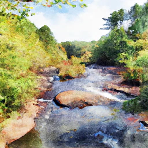 Taylors Creek (Rm 74.5) To Nf Boundary (Rm 70.0)
-
 Nf Boundary To Taylor'S Creek In Cherokee Nf (Tn)
-
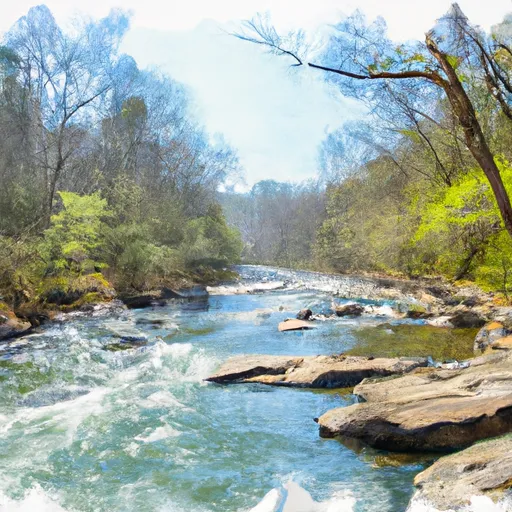 Northern Boundary Cohutta Wilderness To Confluence With Conasauga River
-
 Southern Boundary Cohutta Wilderness Near Peter Cove To Northern Boundary Cohutta Wilderness Near Alaculsy
-
 Source In Cohutta Wilderness To Nf Boundary North Of Murray'S Lake

