Summary
The river has multiple Class III and IV rapids, including Bonecrusher and Jaws, which require technical maneuvering. The best time to float this section of water is in early summer when the snowmelt provides optimal flow, with a recommended CFS of 1,500-3,500. Obstacles include strainers, sweepers, and undercut rocks, which can be dangerous if not approached with caution. Overall, this river run provides a thrilling and challenging experience for those seeking an adrenaline rush.
°F
°F
mph
Wind
%
Humidity
15-Day Weather Outlook
River Run Details
| Last Updated | 2023-06-13 |
| River Levels | 4590 cfs (7.31 ft) |
| Percent of Normal | 35% |
| Optimal Range | 1000-11000 cfs |
| Status | Runnable |
| Class Level | II |
| Elevation | 3,049 ft |
| Run Length | 5.0 Mi |
| Streamflow Discharge | 1190 cfs |
| Gauge Height | 4.5 ft |
| Reporting Streamgage | USGS 12362500 |


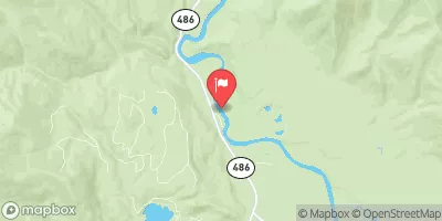
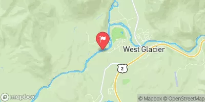
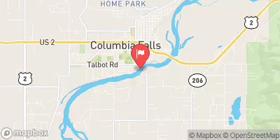
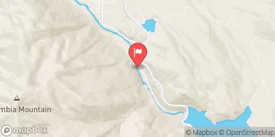
 Apgar - Glacier National Park
 Fish Creek - Glacier National Park
 McDonald Lake Campground
 MCDONALD LAKE
 Whitefish State Park
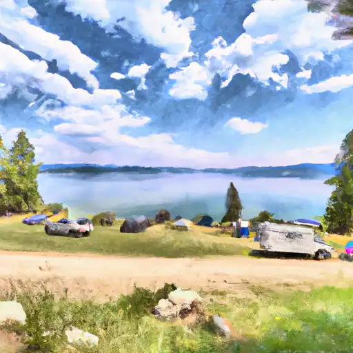 Whitefish Lake State Park
 Apgar Flats Horse West Glacier
 Glacier RIm to Blankenship Bridge and Confluence
 West Glacier to Blankenship Bridge
 Big Creek to Glacier Rim