Summary
The ideal streamflow range is between 1,500 to 3,000 cfs, making it best to visit during the late spring and early summer months. The segment mileage is approximately 20 miles long, consisting of class III and IV rapids. Specific river rapids that stand out include Bladder Buster, Lower and Upper Deadwood, and Hazard Falls. Obstacles include rocks, boulders, and steep drops.
It is important to note that the run is rated as a class IV for the majority of the route, with a class III section towards the end. Due to its difficulty, only experienced paddlers should attempt the run. In terms of regulations, all boaters must have a valid permit to access the river. Additionally, all participants must wear a personal flotation device (PFD) at all times.
Overall, the Whitewater River Run Boise NF Boundary to Confluence with Payette River is a challenging and exciting adventure for experienced whitewater enthusiasts. It is important to adhere to all regulations and take necessary safety precautions before embarking on this thrilling journey.
°F
°F
mph
Wind
%
Humidity
15-Day Weather Outlook
River Run Details
| Last Updated | 2026-02-07 |
| River Levels | 1090 cfs (6.1 ft) |
| Percent of Normal | 94% |
| Status | |
| Class Level | iii-iv |
| Elevation | ft |
| Streamflow Discharge | cfs |
| Gauge Height | ft |
| Reporting Streamgage | USGS 13246000 |
5-Day Hourly Forecast Detail
Nearby Streamflow Levels
 Nf Payette River Nr Banks Id
|
440cfs |
 Middle Fork Payette River Nr Crouch Id
|
296cfs |
 Payette River Nr Horseshoe Bend Id
|
1430cfs |
 Payette River Nr Emmett Id
|
1720cfs |
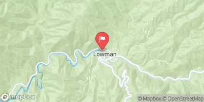 Sf Payette River At Lowman Id
|
476cfs |
 Spring Valley Creek Nr Eagle Id
|
0cfs |


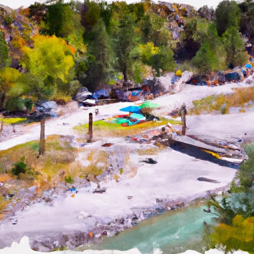 Swinging Bridge Campground - reserve
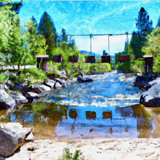 Swinging Bridge
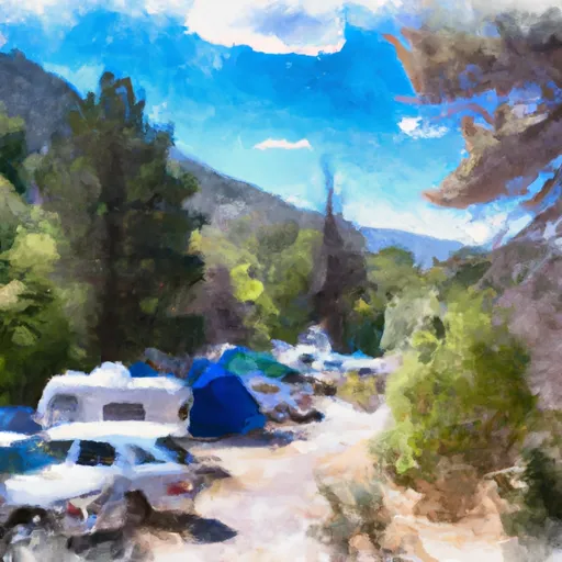 Cold Springs Group ONLY Campground - reserve
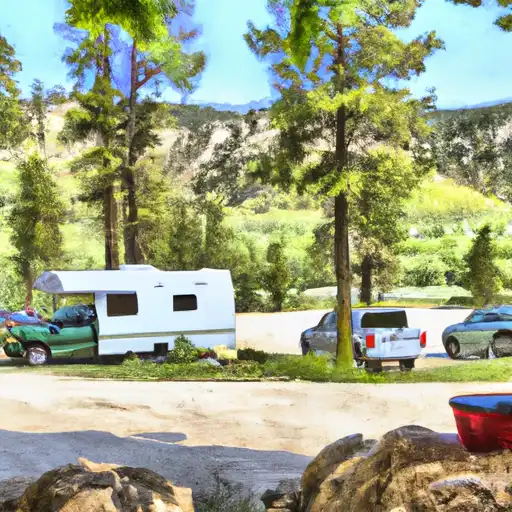 Hot Springs
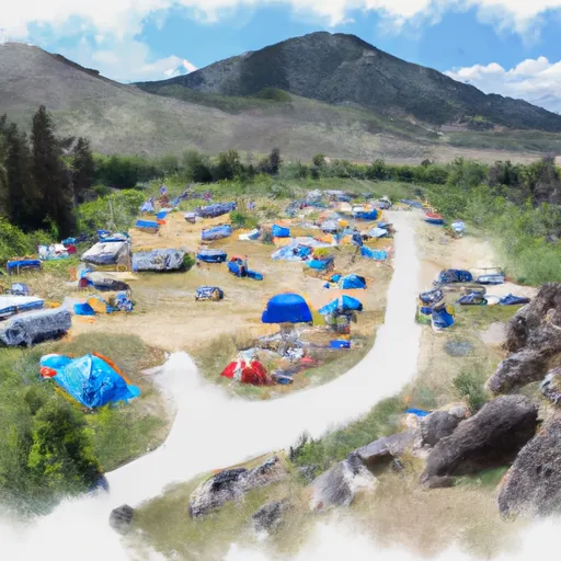 Hot Springs Campground and Group sites - reserve
 Banks River Access
 Deer Creek
 Confluence
 Beehive Bend
 Parnell Recreation Site
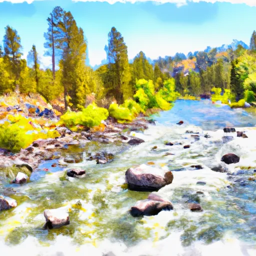 Boise Nf Boundary To Confluence With Payette River
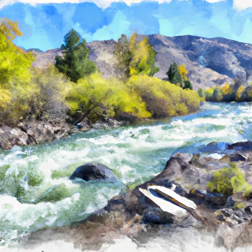 Boise Nf Boundary (1 Mile East Of Banks) To Boise Nf Boundary (1 Mile South Of Banks)
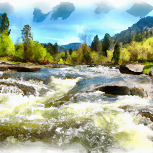 South Fork Payette
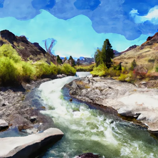 Long Gulch To Boise Nf Boundary