Summary
The coordinates provided (44.102480411000045, -116.00586876399996) correspond to the location of the ramp on Google Maps.
According to information provided by the Idaho Parks and Recreation Department, the Confluence boat ramp provides access to the Snake River. It is a concrete ramp and is reportedly 16 feet wide.
In terms of what kind of craft are permitted on the water, it appears that the Snake River is open to a variety of watercraft. However, it is important to note that specific regulations may vary depending on the section of the river being accessed. For example, certain sections may have restrictions on motorized boats or require permits for certain types of vessels. It is recommended that individuals check with local authorities or the Idaho Parks and Recreation Department for more information on regulations for the Snake River.
Overall, it seems that the Confluence boat ramp provides access to the Snake River for a variety of watercraft, with a concrete ramp that is 16 feet wide.
°F
°F
mph
Wind
%
Humidity

 Confluence
 Deer Creek
 Banks River Access
 Beehive Bend
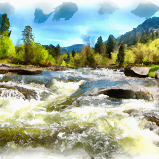 South Fork Payette
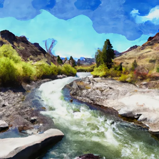 Long Gulch To Boise Nf Boundary
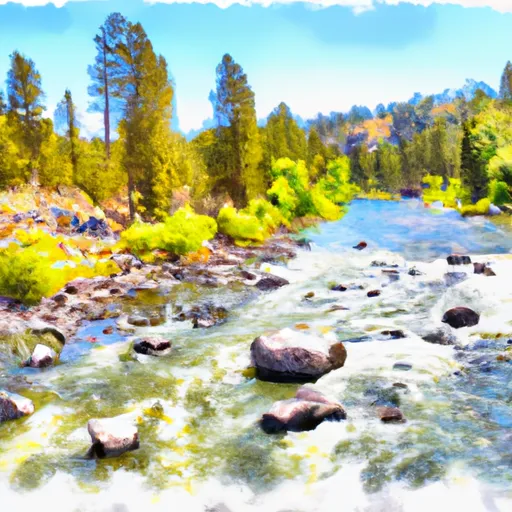 Boise Nf Boundary To Confluence With Payette River
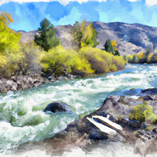 Boise Nf Boundary (1 Mile East Of Banks) To Boise Nf Boundary (1 Mile South Of Banks)
 Confluence With Bell Creek To Boiling Springs Cabin