Summary
The ideal streamflow range for this run is between 900 and 1,500 cfs. At lower levels, the river may be too technical to navigate, while at higher levels, the rapids become extremely challenging and dangerous.
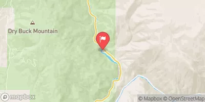
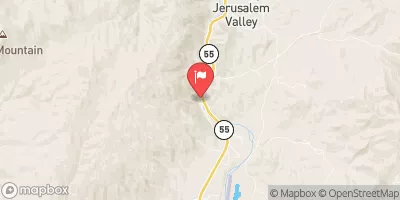
This run is rated as class IV-V, making it suitable for experienced and skilled whitewater enthusiasts. The segment mileage for the Pine Creek to Confluence with South Fork Payette River run is 9.5 miles, including several challenging rapids and obstacles along the way.
Some of the specific rapids and obstacles on this river run include the Big Kahuna, a Class V rapid that requires precise navigation and expert skills. Other rapids include the Little Kahuna, Staircase, The Slides, and S-turns.
There are specific regulations that must be followed on this run, including the use of personal flotation devices and helmets at all times. Additionally, boaters must obtain permits from the Bureau of Land Management before embarking on this run.
Overall, the Pine Creek to Confluence with South Fork Payette River run is an exhilarating whitewater experience that requires skill, experience, and care to navigate safely. It is important to follow all regulations and safety guidelines to ensure a safe and enjoyable experience on the river.
°F
°F
mph
Wind
%
Humidity
15-Day Weather Outlook
River Run Details
| Last Updated | 2026-02-07 |
| River Levels | 2540 cfs (5.28 ft) |
| Percent of Normal | 108% |
| Status | |
| Class Level | iv-v |
| Elevation | ft |
| Streamflow Discharge | cfs |
| Gauge Height | ft |
| Reporting Streamgage | USGS 13235000 |
5-Day Hourly Forecast Detail
Nearby Streamflow Levels
Area Campgrounds
| Location | Reservations | Toilets |
|---|---|---|
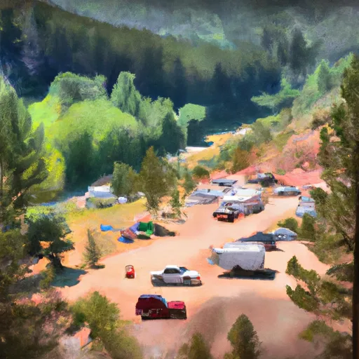 Deadwood
|
||
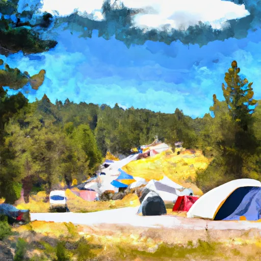 Deadwood Campground
|
||
 Pine Flats Campground - reserve
|
||
 Pine Flats
|
||
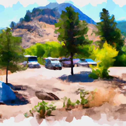 Mountain View Campground - reserve
|
||
 Deadwood Lookout Rental Cabin
|


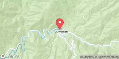



 Pine Creek To Confluence With South Fork Payette River
 Wolf Creek To Confluence With Pine Flats Creek
 Pine Flats Creek To Long Gulch
 Warm Springs Creek To Confluence With Pine Creek