Summary
The river is rated Class II-III, with some Class IV rapids in certain sections. The segment stretches for a total of 13.6 miles and offers exhilarating rapids, including the Wolf Creek Rapid, the Railroad Rapid, and the Pine Flats Rapid.
One of the most challenging rapids is the Wolf Creek Rapid, which has a Class IV rating. This rapid has a steep drop with a large boulder, making it a technical run that requires skillful maneuvers. The Railroad Rapid, on the other hand, is a Class III rapid, which features a series of small drops and waves that require precise navigation. The Pine Flats Rapid is another Class III rapid, which has a technical rock garden section.
Several regulations govern the use of the river, including the requirement to wear personal flotation devices (PFDs) while on the river. Additionally, use of alcohol and drugs is prohibited while on the river, and all waste should be packed out. The river run is also closed during high water levels, which can be dangerous and risky to rafters.
In conclusion, the Whitewater River Run from Wolf Creek to Confluence with Pine Flats Creek in Idaho is an exhilarating adventure for experienced rafters looking for a challenging Class II-IV run. With ideal streamflow ranges and thrilling rapids, this run promises an unforgettable experience for adrenaline seekers.
°F
°F
mph
Wind
%
Humidity
15-Day Weather Outlook
Base Area Webcam
River Run Details
| Last Updated | 2026-02-07 |
| River Levels | 2540 cfs (5.28 ft) |
| Percent of Normal | 108% |
| Status | |
| Class Level | ii-iii |
| Elevation | ft |
| Streamflow Discharge | cfs |
| Gauge Height | ft |
| Reporting Streamgage | USGS 13235000 |
5-Day Hourly Forecast Detail
Nearby Streamflow Levels
Area Campgrounds
| Location | Reservations | Toilets |
|---|---|---|
 Pine Flats Campground - reserve
|
||
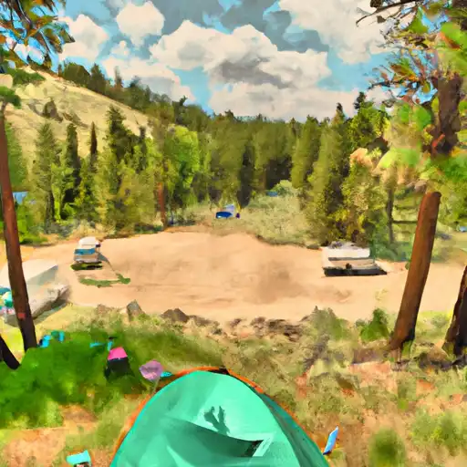 Pine Flats
|
||
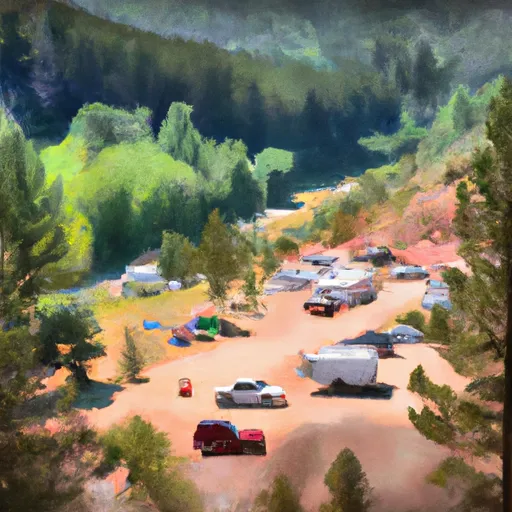 Deadwood
|
||
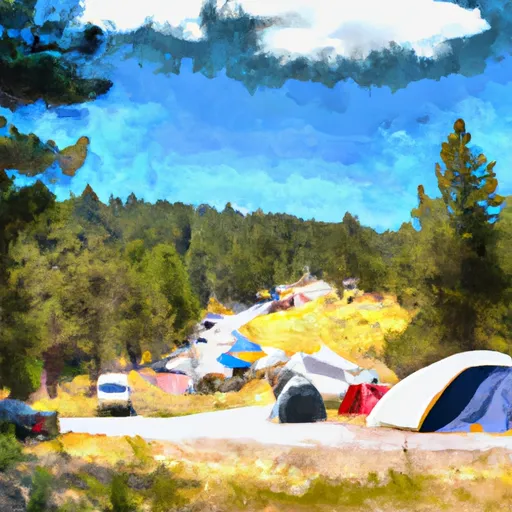 Deadwood Campground
|
||
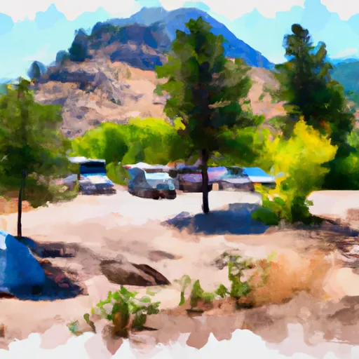 Mountain View Campground - reserve
|
||
 Deadwood Lookout Rental Cabin
|


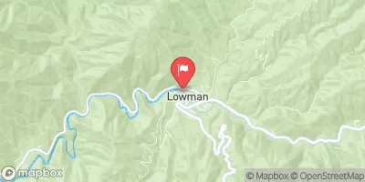
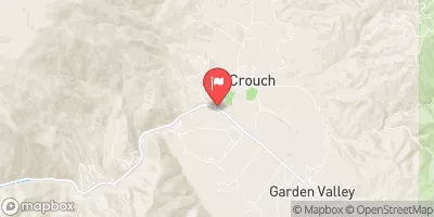
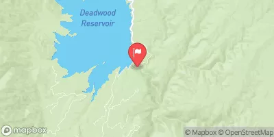
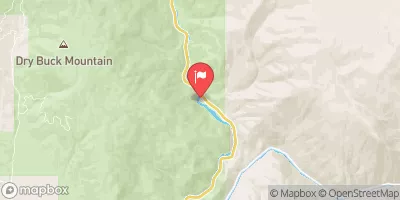
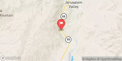
 Wolf Creek To Confluence With Pine Flats Creek
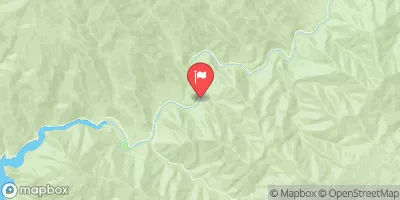
 Pine Creek To Confluence With South Fork Payette River
 Pine Flats Creek To Long Gulch
 Warm Springs Creek To Confluence With Pine Creek