Summary
The ideal streamflow range for this section of the river is between 1,000 and 5,000 cubic feet per second (cfs). The class rating for this section of the river is between II and III, with some rapids reaching class IV during high water. The segment mileage is approximately 28 miles, with the run taking around 6-8 hours to complete.
Some of the specific rapids and obstacles to be aware of include the Bumblebee Rapids, Devil's Toenail, and the Slalom Course. There are also several boulder gardens and long wave trains along the way. It is important to note that this section of the river can be dangerous during high water, and caution should be taken when planning a trip.
When visiting this area, there are specific regulations to be aware of. Boaters are required to have a current Idaho State invasive species sticker on their watercraft. Additionally, there are several rules and regulations regarding camping, fires, and littering in the surrounding areas. It is important to research and follow all regulations to ensure a safe and enjoyable trip. Overall, the Whitewater River Run from Cataldo Mission to Coeur D'Alene Lake is a thrilling and scenic adventure for experienced whitewater enthusiasts.
°F
°F
mph
Wind
%
Humidity
15-Day Weather Outlook
River Run Details
| Last Updated | 2026-02-07 |
| River Levels | 1080 cfs (33.53 ft) |
| Percent of Normal | 70% |
| Status | |
| Class Level | iv |
| Elevation | ft |
| Streamflow Discharge | cfs |
| Gauge Height | ft |
| Reporting Streamgage | USGS 12413500 |
5-Day Hourly Forecast Detail
Nearby Streamflow Levels
Area Campgrounds
| Location | Reservations | Toilets |
|---|---|---|
 Bumblebee
|
||
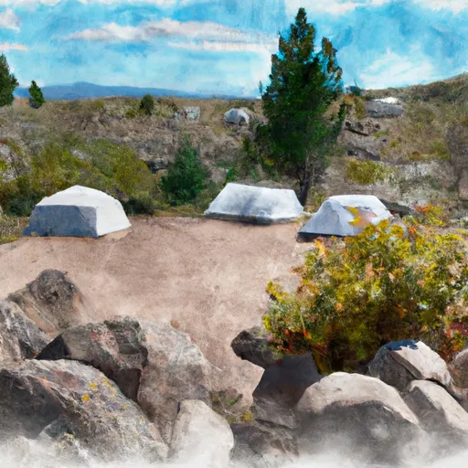 Bumblebee Campground
|
||
 Kilarney Lake
|
||
 Popcorn Island
|
||
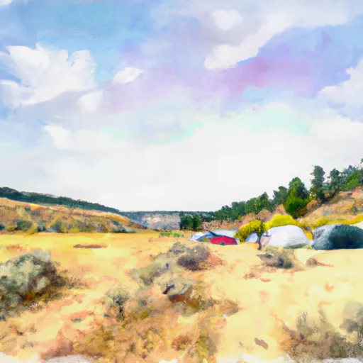 Sheep Springs
|


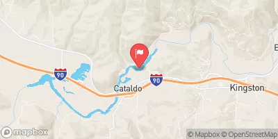
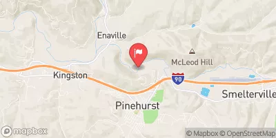
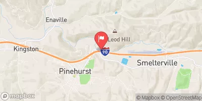

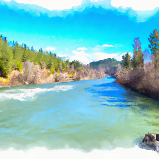
 Cataldo Mission To Coeur D'Alene Lake
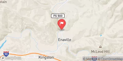
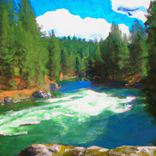
 Confluence North Fork Coeur D'Alene River To Cataldo Mission
 Coeur D"Alene River, Sec. 8, T49N, R2E To Honey Mountain, Sec. 32, T53N, R1W