Summary
3, T35N, R7E to Fish Creek, Sec. 24, T35N, R8E in Idaho is a popular destination for white water enthusiasts. The ideal streamflow range for this segment is between 800-1,200 cfs. The class rating for this section is class III-IV, which means that it is suitable for experienced paddlers who are able to navigate through strong currents, obstacles, and rapids.
This river segment covers a distance of approximately 13 miles, and it is home to several notable rapids and obstacles, including the Staircase rapid, the Widowmaker rapid, and the Devil's Toenail rapid. These rapids are known for their technical and challenging nature, which makes this segment a great option for those seeking an adrenaline rush.
The regulations for this area include a requirement for all participants to wear a personal flotation device (PFD) at all times while on the river. Additionally, all boaters are required to have a valid river access permit from the Idaho Department of Parks and Recreation. These regulations are in place to ensure the safety of all individuals on the river.
Overall, the Whitewater River Run from Headwaters, Sec. 3, T35N, R7E to Fish Creek, Sec. 24, T35N, R8E in Idaho is a challenging and exciting river segment for experienced paddlers. With its class III-IV rating, notable rapids and obstacles, and specific regulations, this area provides an excellent opportunity for white water enthusiasts to test their skills and enjoy the beauty of the Idaho wilderness.
°F
°F
mph
Wind
%
Humidity
15-Day Weather Outlook
River Run Details
| Last Updated | 2026-02-07 |
| River Levels | 4480 cfs (4.71 ft) |
| Percent of Normal | 74% |
| Status | |
| Class Level | iii-iv |
| Elevation | ft |
| Streamflow Discharge | cfs |
| Gauge Height | ft |
| Reporting Streamgage | USGS 13337000 |
5-Day Hourly Forecast Detail
Nearby Streamflow Levels
 Lochsa River Nr Lowell Id
|
1860cfs |
 Selway River Nr Lowell Id
|
2080cfs |
 Clear Ck At Kooskia National Fish Hatchery
|
18cfs |
 Sf Clearwater River At Stites Id
|
411cfs |
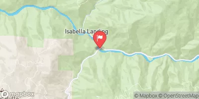 Nf Clearwater River Nr Canyon Ranger Station Id
|
2950cfs |
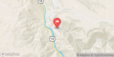 Lolo Creek Nr Greer Id
|
771cfs |
Area Campgrounds
| Location | Reservations | Toilets |
|---|---|---|
 Wilderness Gateway
|
||
 Wilderness Gateway Campground
|
||
 Rocky Ridge
|
||
 Knife Edge Campground and River Access
|
||
 Knife Edge
|
||
 Liz Creek Cabin
|


 Headwaters, Sec. 3, T35N, R7E To Fish Creek, Sec. 24, T35N, R8E
 Fish Creek to Split Creek
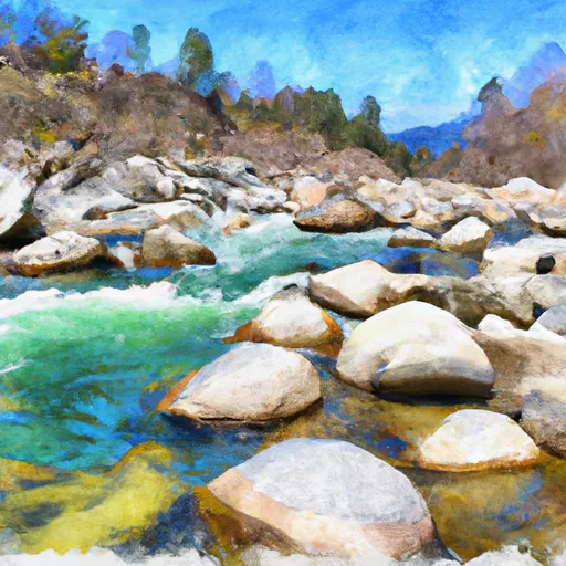 Hungery Creek, Sec. 24, T35N, R8E To Lochsa River, Sec. 33, T35N, R9E
 Split Creek to Lowell