Summary
The ideal streamflow range for this section of the river is between 1,500 and 5,000 cubic feet per second (cfs). The class rating varies depending on the section of the river, with some portions rated as Class II-III and others rated as Class III-IV. The segment mileage is approximately 11 miles, starting at the confluence of the North Fork and the main stem of the river, and ending at Palisades Reservoir.
Some specific river rapids and obstacles to watch out for include the "Box Canyon" section, a narrow and steep-walled canyon that requires precise maneuvering, and "Big Kahuna," a Class IV rapid with a large wave that can easily flip rafts. It is important to note that the river can become significantly more challenging at higher streamflow levels.
Additionally, there are specific regulations to the area, including the requirement to have a permit for commercial outfitters and to follow Leave No Trace principles. The river is also managed by the Bureau of Land Management and the Caribou-Targhee National Forest, and visitors should adhere to their guidelines and regulations.
Overall, the Mainstem West of Palisades Reservoir offers a challenging and scenic whitewater experience for experienced rafters at the right streamflow levels. Visitors should always prioritize safety and follow all regulations to preserve the natural beauty of the area.
°F
°F
mph
Wind
%
Humidity
15-Day Weather Outlook
River Run Details
| Last Updated | 2026-02-07 |
| River Levels | 11800 cfs (8.59 ft) |
| Percent of Normal | 66% |
| Status | |
| Class Level | ii-iii |
| Elevation | ft |
| Streamflow Discharge | cfs |
| Gauge Height | ft |
| Reporting Streamgage | USGS 13032500 |
5-Day Hourly Forecast Detail
Nearby Streamflow Levels
Area Campgrounds
| Location | Reservations | Toilets |
|---|---|---|
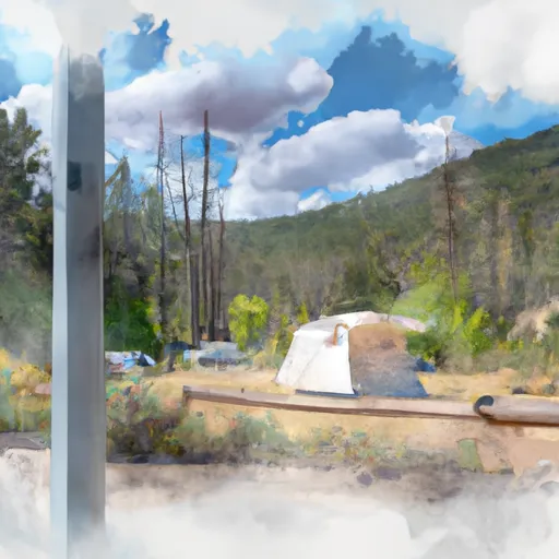 Calamity Campground
|
||
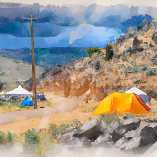 Calamity
|
||
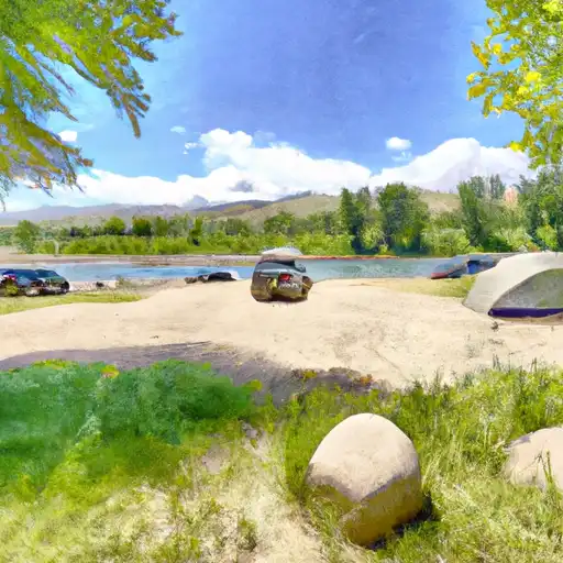 Riverside Park
|
||
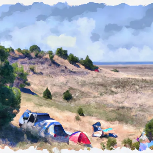 Blowout
|
||
 McCoy Creek
|
||
 McCoy Creek Campground
|


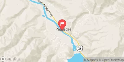
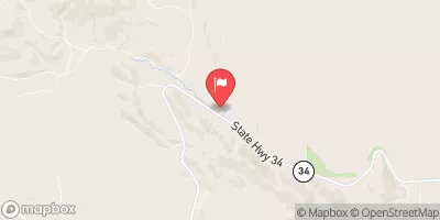
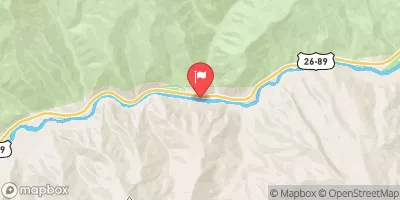
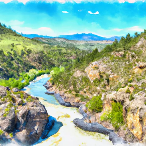 Mainstem West Of Palisades Reservoir Including North Fork And Deadman Creek To Palisades Reservoir
 South Fork Snake River
 Palisade Dam to Lorenzo (South Fork)
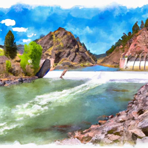 Palisades Dam To Confluence With Pine Creek
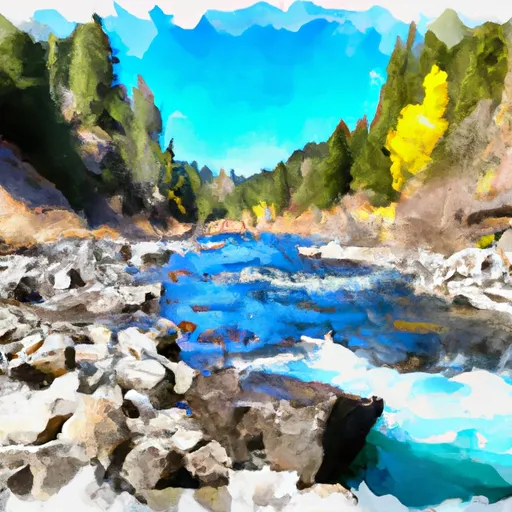 One Mile Above Trailhead To Trailhead