Summary
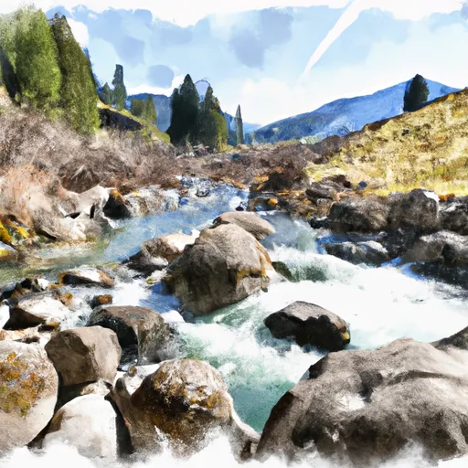
The run features several fun rapids and beautiful scenery, but also has some potentially dangerous obstacles such as submerged rocks and strainers. It's important to know the recommended flow rate for this run is 3,000-8,000 cfs, and to use caution when navigating the river. Overall, this run is a great option for intermediate paddlers looking for a fun day trip.
°F
°F
mph
Wind
%
Humidity
15-Day Weather Outlook
River Run Details
| Last Updated | 2023-06-13 |
| River Levels | 3090 cfs (5.77 ft) |
| Percent of Normal | 85% |
| Optimal Range | 1500-15000 cfs |
| Status | Too Low |
| Class Level | II |
| Elevation | 5,369 ft |
| Run Length | 53.0 Mi |
| Streamflow Discharge | 900 cfs |
| Gauge Height | 4.5 ft |
| Reporting Streamgage | USGS 13032500 |
5-Day Hourly Forecast Detail
Nearby Streamflow Levels
Area Campgrounds
| Location | Reservations | Toilets |
|---|---|---|
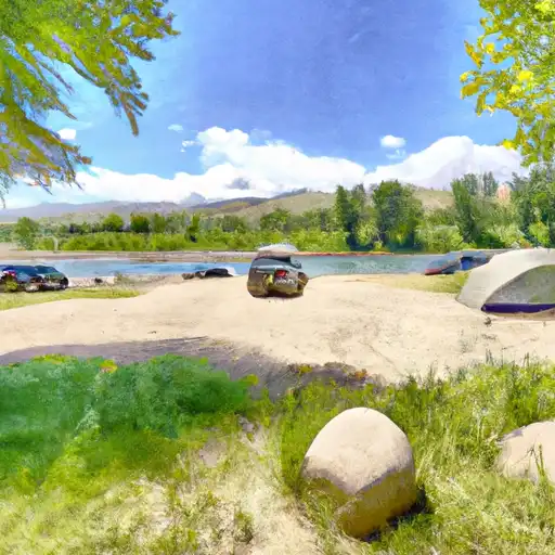 Riverside Park
|
||
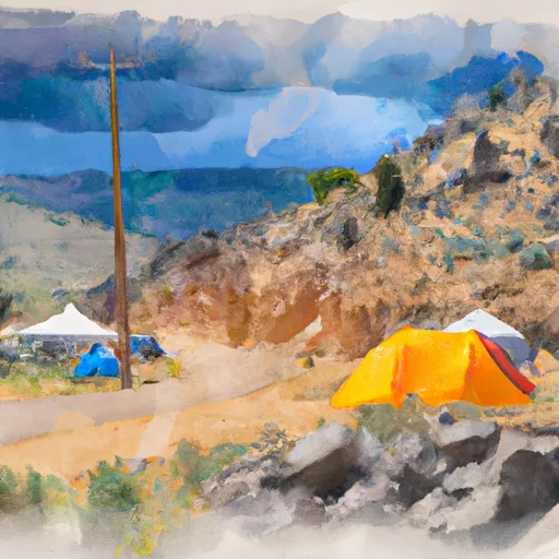 Calamity
|
||
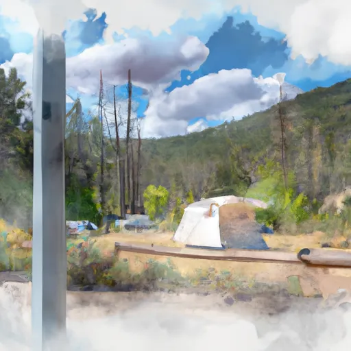 Calamity Campground
|
||
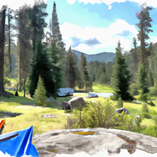 Palisades Creek
|
||
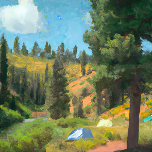 Palisades Creek Campground
|
||
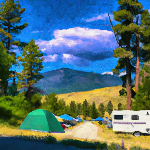 Big Elk
|


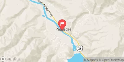
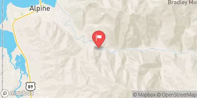
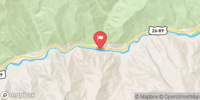
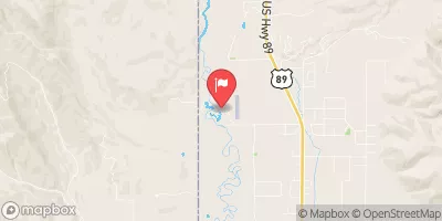
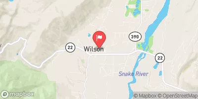
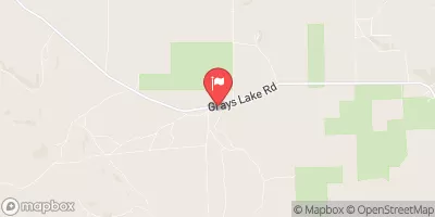
 Palisade Dam to Lorenzo (South Fork)
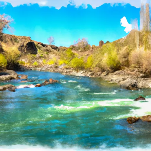 South Fork Snake River
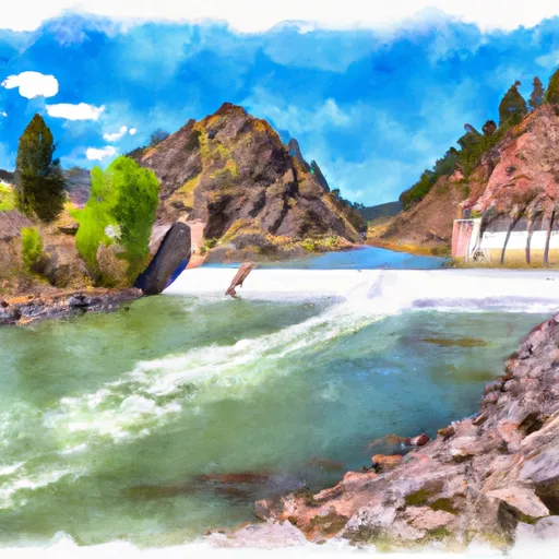 Palisades Dam To Confluence With Pine Creek
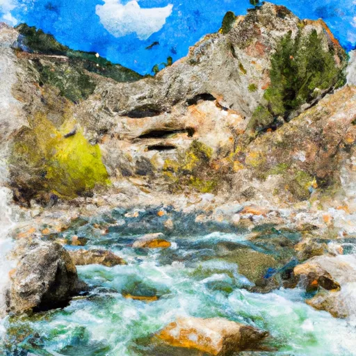 Confluence Of North Fork Palisades Creek And Corral Canyon To Palisades Campground
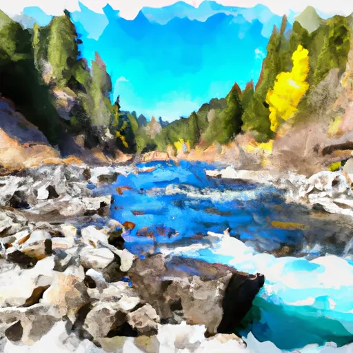 One Mile Above Trailhead To Trailhead
 Source To Upper Palisades Lake