Summary
The ideal streamflow range for this run is between 1,500 and 5,000 cubic feet per second (cfs), although it can be run at higher flows. The run is rated as a Class III-IV, with some challenging rapids and obstacles.
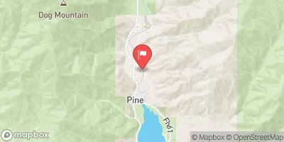
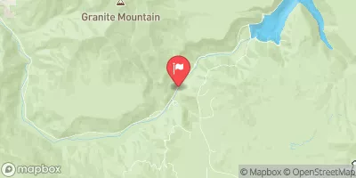
The segment mileage for this run is approximately 11 miles, with a put-in at the Boise National Forest boundary and a take-out at the confluence with Willow Creek. Some of the notable rapids on this run include Staircase, Blackadar, and Devil's Tooth. These rapids provide a thrilling experience for experienced whitewater paddlers.
There are some specific regulations that apply to this area. Paddlers are required to obtain a permit from the Bureau of Land Management to use this section of the river. Additionally, there are restrictions on the number of paddlers allowed on the river at any given time.
In conclusion, the Whitewater River Run Boise NF Boundary To Confluence With Willow Creek in Idaho is a challenging whitewater run that offers some exhilarating rapids for experienced paddlers. With an ideal streamflow range of 1,500 to 5,000 cfs and a Class III-IV rating, this run is a must-do for any serious whitewater enthusiast. However, it is important to adhere to the specific regulations in place to ensure the safety of all paddlers.
°F
°F
mph
Wind
%
Humidity
15-Day Weather Outlook
River Run Details
| Last Updated | 2026-02-07 |
| River Levels | 3640 cfs (9.21 ft) |
| Percent of Normal | 103% |
| Status | |
| Class Level | iii-iv |
| Elevation | ft |
| Streamflow Discharge | cfs |
| Gauge Height | ft |
| Reporting Streamgage | USGS 13185000 |


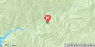
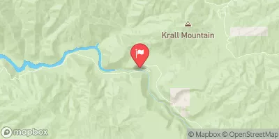
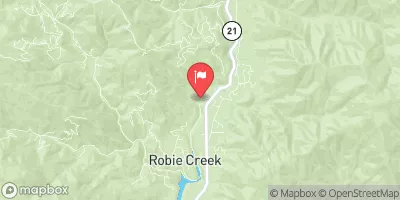
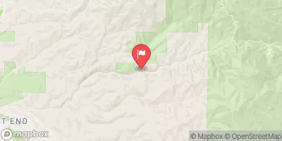
 Willow Creek Campground (Mountain Home)
 Badger Creek Campground
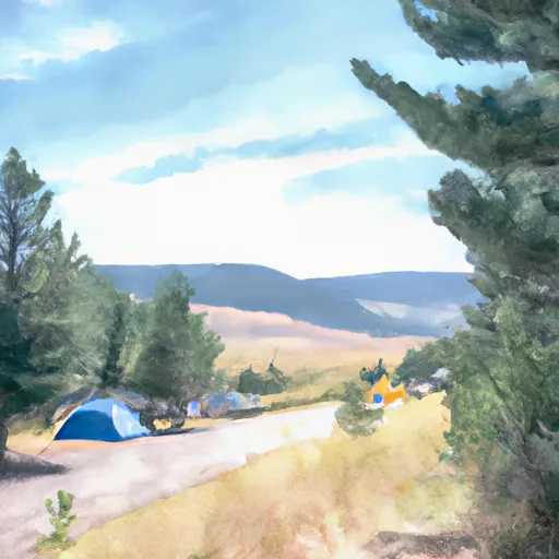 Bald Mountain Campground
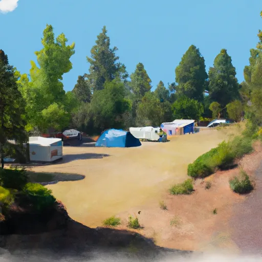 Troutdale campground
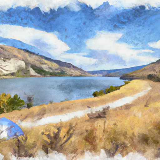 Arrowrock Reservoir Dispersed
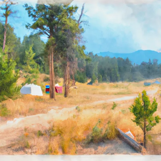 Macks Creek
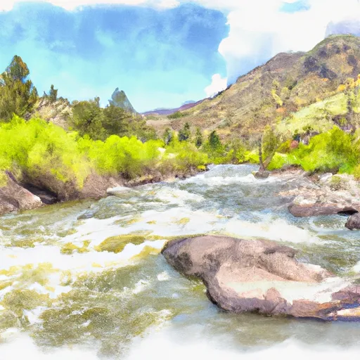 Boise Nf Boundary To Confluence With Willow Creek
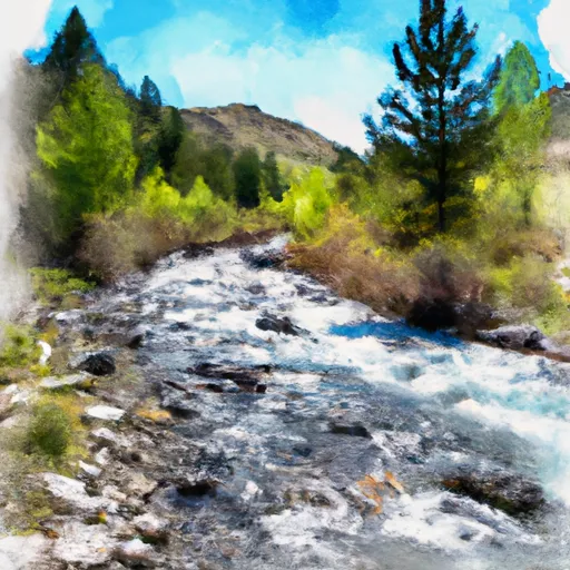 Trail Creek To Confluence With Crank Creek
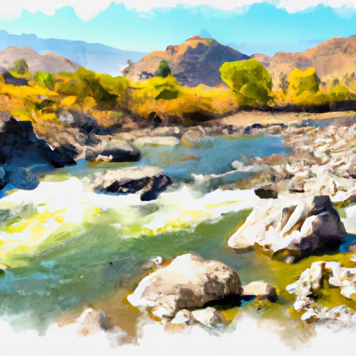 Confluence With Rabbit Creek To Confluence With Middle Fork Boise River