Summary
The ideal streamflow range for this run is between 800-2000 cfs, with the peak season being in late May to early July. The run is rated as Class III-IV, providing a thrilling experience for experienced whitewater enthusiasts.
The segment mileage for this run is approximately 13 miles, starting from the Headwaters and ending in Deadwood Reservoir. The river features various rapids and obstacles, including the "S-turn," "Radiator Rapid," and "Chaos," each providing a unique challenge for rafters.
To ensure the safety of all participants, specific regulations have been put in place for this area. A permit is required to access the river, and all participants must wear a personal flotation device (PFD). Additionally, the use of alcohol and drugs is strictly prohibited, and all trash must be packed out.
Overall, the Whitewater River run Headwaters to Deadwood Reservoir offers a thrilling and challenging whitewater experience for experienced rafters. However, it is important to follow all regulations and safety guidelines to ensure a safe and enjoyable trip.
°F
°F
mph
Wind
%
Humidity
15-Day Weather Outlook
River Run Details
| Last Updated | 2026-02-07 |
| River Levels | 206 cfs (3.24 ft) |
| Percent of Normal | 11% |
| Status | |
| Class Level | iii-iv |
| Elevation | ft |
| Streamflow Discharge | cfs |
| Gauge Height | ft |
| Reporting Streamgage | USGS 13236500 |


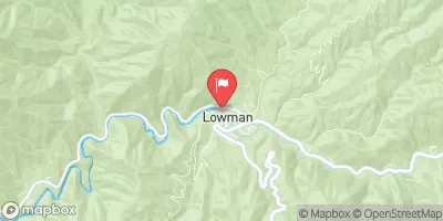


 Riverside Campground (Lowman) - reserve
 Barneys
 Barney's Park Campground
 Barney's Campground - reserve
 Hower's Campground - reserve
 Homer's Campground
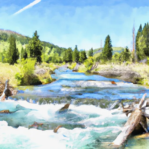 Headwaters To Deadwood Reservoir
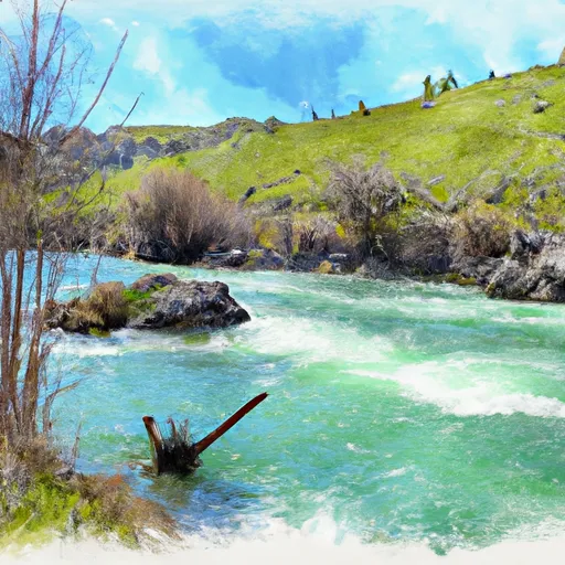 Deadwood Reservoir To Confluence With Warm Springs Creek
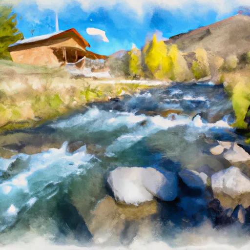 Boiling Springs Cabin To Confluence With Fool Creek
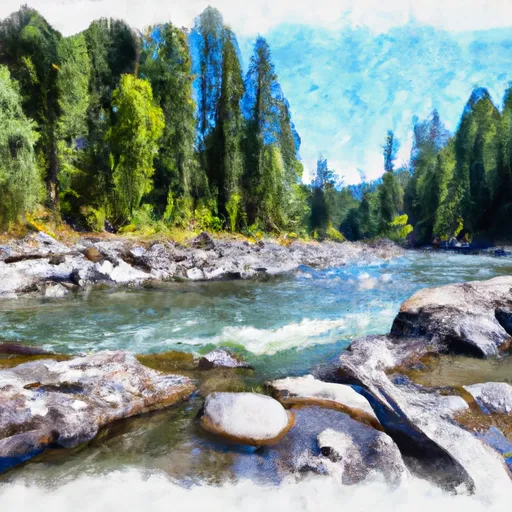 Fcronr Wilderness Boundary To Confluence With North Fork Elk Creek