Summary
The ideal streamflow range for this river run is between 400-1000 cfs, which typically occurs during the spring and early summer months. The Whitewater River Run is classified as a Class III-IV river, meaning it includes moderate to difficult rapids with complex maneuvers required.
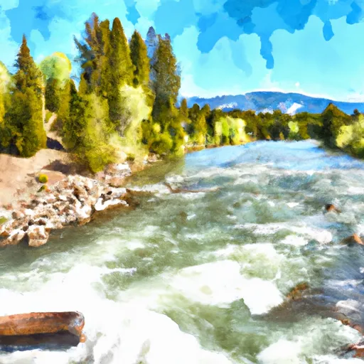
This river run begins at the Yellowstone National Park boundary and ends at the confluence with Warm River, covering a total distance of 11 miles. The rapids on this stretch of river are notorious, including Class IV rapids such as "The Narrows" and "The Big Kahuna." The narrow and technical rapids, combined with stunning scenery, make for an unforgettable adventure.
While there are no specific regulations for this area, it is recommended that all visitors wear proper safety gear and have experience in whitewater rafting or kayaking. Additionally, visitors should be aware of private property along the river and respect landowners' rights.
Overall, the Whitewater River Run is a challenging and exciting adventure for experienced kayakers and rafters. It is important to check current streamflow levels and be prepared with proper safety gear before embarking on this adventure.
°F
°F
mph
Wind
%
Humidity
15-Day Weather Outlook
River Run Details
| Last Updated | 2026-02-07 |
| River Levels | 1810 cfs (2.56 ft) |
| Percent of Normal | 98% |
| Status | |
| Class Level | iii-iv |
| Elevation | ft |
| Streamflow Discharge | cfs |
| Gauge Height | ft |
| Reporting Streamgage | USGS 13047500 |
5-Day Hourly Forecast Detail
Nearby Streamflow Levels
 Falls River Nr Squirrel Id
|
230cfs |
 Falls River Nr Ashton Id
|
388cfs |
 Falls River Ab Yellowstone Canal Nr Squirrel Id
|
397cfs |
 Henrys Fork Nr Ashton Id
|
836cfs |
 Falls River Nr Chester Id
|
542cfs |
 Teton River Nr St Anthony Id
|
406cfs |
Area Campgrounds
| Location | Reservations | Toilets |
|---|---|---|
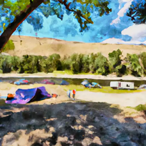 Warm River
|
||
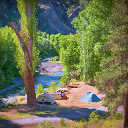 Warm River Campground
|
||
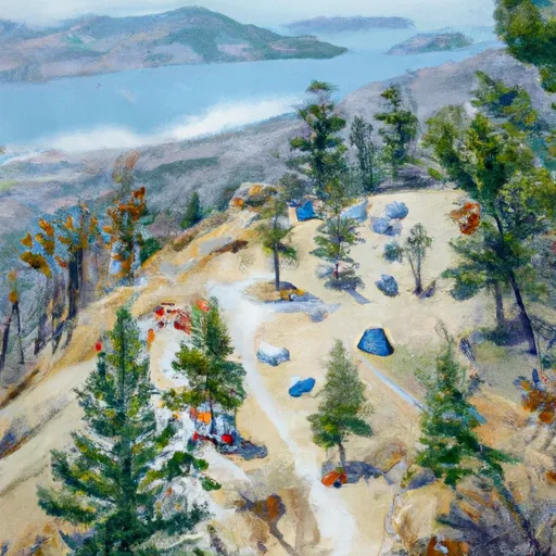 Grandview
|
||
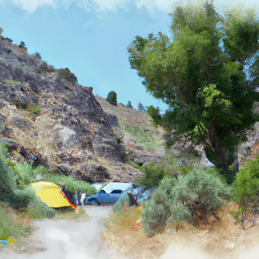 Grand View Campground
|
||
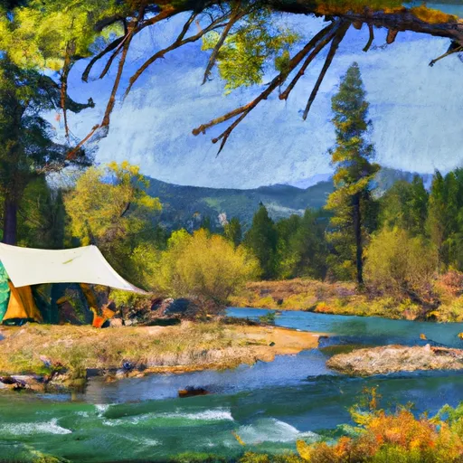 Warm River Cabin
|
||
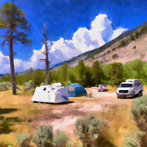 Jolley Camper
|


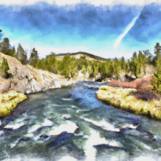 Yellowstone Np Boundary To Confluence With Warm River
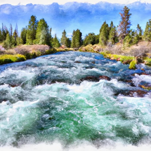 Warm River Springs To Confluence With Henrys Fork
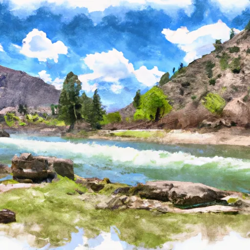 Riverside Campground To Confluence With Warm River
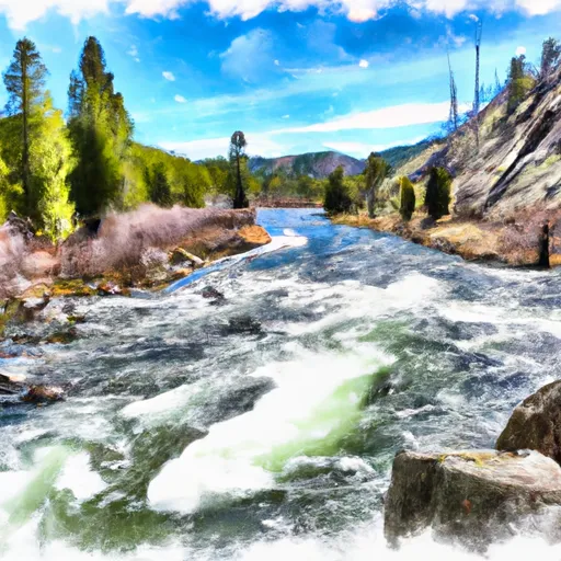 Yellowstone Np To Targhee Nf Boundary
 Teton River