Summary
The ideal streamflow range for this run is between 500-2000 cfs, which is typically found during the spring and early summer months. This run is rated as Class III-IV, meaning it is suitable for intermediate to advanced paddlers with prior experience in whitewater.
The segment mileage for this run is approximately 10 miles, and paddlers can expect to encounter several rapids and obstacles along the way. The most notable rapids include Hell’s Half Mile, which is a technical Class IV rapid that features a series of drops and tight chutes, and The Box, which is a narrow canyon section with several technical Class III rapids.
In terms of regulations, all paddlers are required to wear a personal floatation device (PFD) at all times while on the water. Additionally, a permit is required to launch a watercraft on the river and camping is only allowed in designated campgrounds.
Overall, the Whitewater River Run from Outlet Pettit Lake to Confluence with Alturas Lake Creek is a thrilling and scenic river adventure that requires proper equipment and experience. Paddlers should always check current streamflow conditions and familiarize themselves with the river rapids and regulations before embarking on this run.
°F
°F
mph
Wind
%
Humidity
15-Day Weather Outlook
River Run Details
| Last Updated | 2026-01-26 |
| River Levels | 595 cfs (2.09 ft) |
| Percent of Normal | 122% |
| Status | |
| Class Level | iii-iv |
| Elevation | ft |
| Streamflow Discharge | cfs |
| Gauge Height | ft |
| Reporting Streamgage | USGS 13295000 |
5-Day Hourly Forecast Detail
Nearby Streamflow Levels
Area Campgrounds
| Location | Reservations | Toilets |
|---|---|---|
 Pettit Lake
|
||
 Pettit Lake Campground
|
||
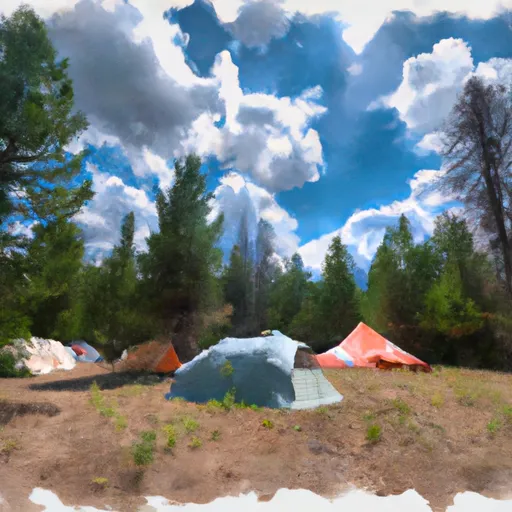 Alturas Tent Camping Area
|
||
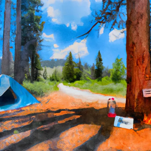 Smokey Bear
|
||
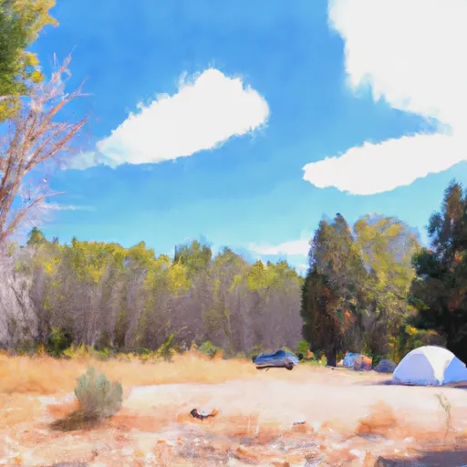 Smokey Bear (Alturas) Campground
|
||
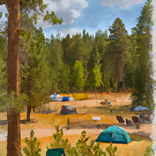 Smokey Bear Campground
|


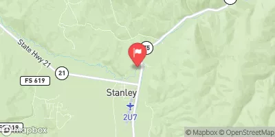
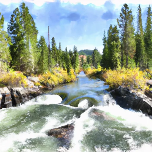 Outlet Pettit Lake To Confluence With Alturas Lake Creek
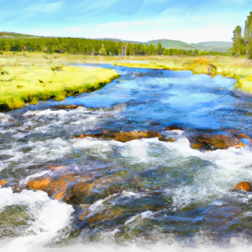 Headwaters To Confluence With Alturas Lake Creek
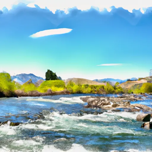 Outlet Alteras Lake To Confluence With Salmon River
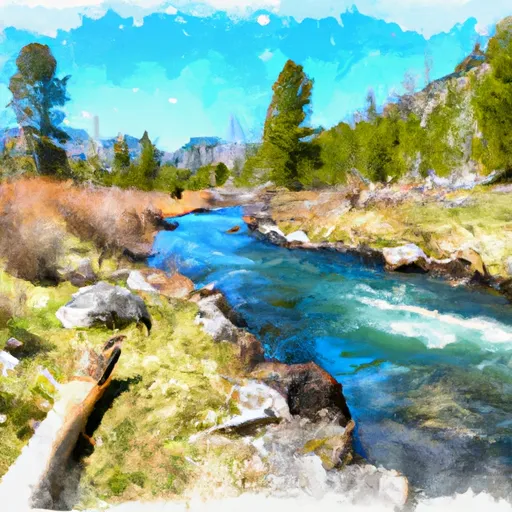 Headwaters To Inlet Pettit Lake
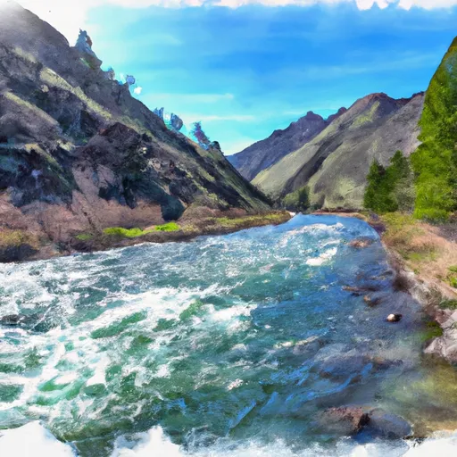 Sawtooth Wilderness Boundary To Confluence With Salmon River
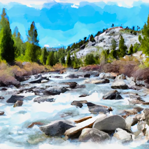 Headwaters To Sawtooth Wilderness Boundary
 Perkins Lake
 Alturas Lake and Pettit Lake Areas
 Redfish Lake