Summary
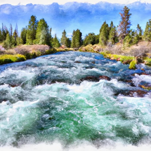
The ideal streamflow range for this run is between 300-600 cfs, which typically occurs during the months of May and June. The class rating for this run is Class III-IV, which means it is a moderately difficult run with moderate to high intensity rapids and obstacles.
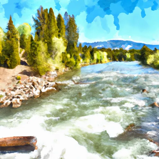
The segment mileage for this run is approximately 8 miles long, starting at Warm River Springs and ending at the Henrys Fork River Confluence. Some of the most notable rapids and obstacles on this run include the Warm River Slide, the Rock Garden, and the Ledge Drop. These rapids and obstacles require precise navigation to avoid dangerous areas and ensure a successful run.
There are specific regulations to this area, including the requirement for a permit to launch a raft or kayak. Additionally, all participants must wear a life jacket and helmets are recommended for additional safety. It is also important to note that this run should only be attempted by experienced kayakers and rafters.
In conclusion, the Whitewater River Run from Warm River Springs to Confluence with Henrys Fork in Idaho is a challenging and thrilling adventure for experienced kayakers and rafters. With the ideal streamflow range between 300-600 cfs, class rating of III-IV, and specific regulations to the area, this run requires precise navigation and attention to safety.
°F
°F
mph
Wind
%
Humidity
15-Day Weather Outlook
River Run Details
| Last Updated | 2026-02-07 |
| River Levels | 2240 cfs (6.24 ft) |
| Percent of Normal | 84% |
| Status | |
| Class Level | iii-iv |
| Elevation | ft |
| Streamflow Discharge | cfs |
| Gauge Height | ft |
| Reporting Streamgage | USGS 13047600 |
5-Day Hourly Forecast Detail
Nearby Streamflow Levels
 Falls River Nr Ashton Id
|
388cfs |
 Falls River Nr Squirrel Id
|
230cfs |
 Henrys Fork Nr Ashton Id
|
836cfs |
 Falls River Ab Yellowstone Canal Nr Squirrel Id
|
397cfs |
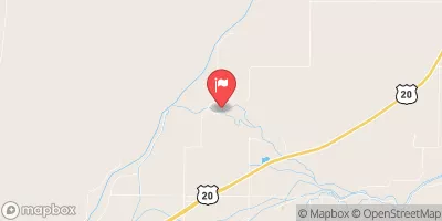 Falls River Nr Chester Id
|
542cfs |
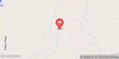 Teton River Nr St Anthony Id
|
406cfs |
Area Campgrounds
| Location | Reservations | Toilets |
|---|---|---|
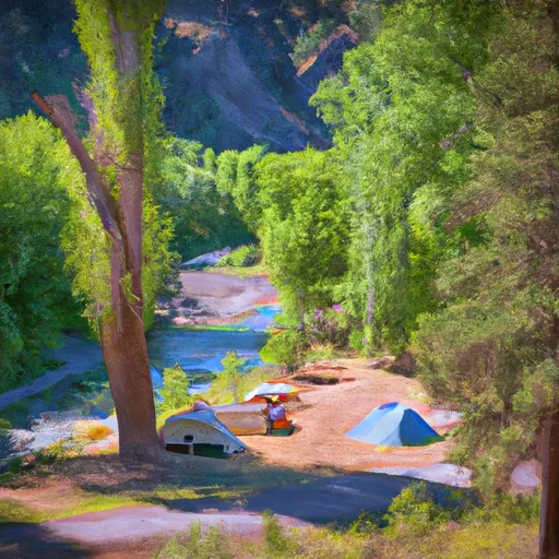 Warm River Campground
|
||
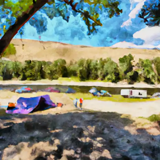 Warm River
|
||
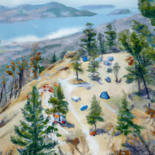 Grandview
|
||
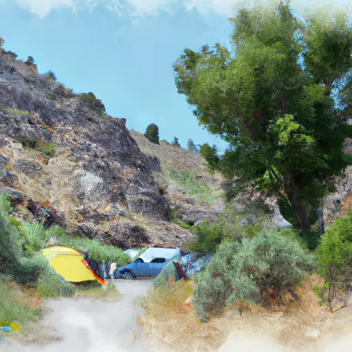 Grand View Campground
|
||
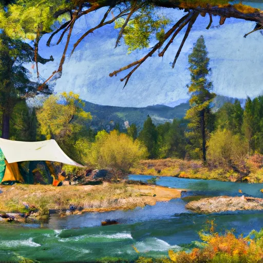 Warm River Cabin
|
||
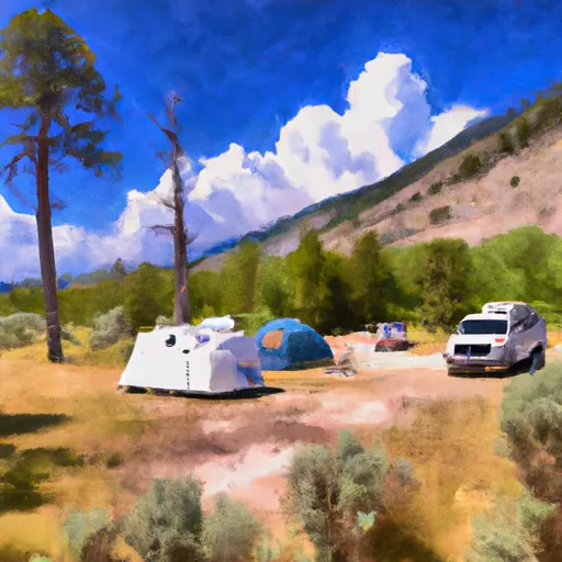 Jolley Camper
|


 Warm River Springs To Confluence With Henrys Fork
 Riverside Campground To Confluence With Warm River
 Yellowstone Np Boundary To Confluence With Warm River
 Yellowstone Np To Targhee Nf Boundary
 Teton River
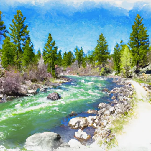 Pinehaven Subdivision To Riverside Campground