Summary
The ideal streamflow for this run is between 800 and 1500 cfs, which typically occurs during spring runoff from May to mid-June.
The class rating for this river segment is class III to IV, with intermittent class V rapids. The segment covers a distance of approximately 14 miles and takes around 5-6 hours to complete.
Some of the significant rapids and obstacles on this run include Class IV+ Loon Creek Falls, which require precise navigation and skilled maneuvering. The run also features sections with tight and technical moves, requiring quick and sharp turns.
There are specific regulations to follow while rafting or kayaking on this river. The first 2.5 miles of the run are closed to all watercraft, and all participants must wear a personal floatation device (PFD) at all times. Additionally, groups must be self-sufficient and carry their gear, including a first aid kit, rescue equipment, and a repair kit.
In summary, the Whitewater River Run from Confluence of Loon and Pioneer Creeks to Phillips Creek Transfer Camp is an exhilarating experience suitable for experienced rafters and kayakers. The ideal streamflow range is between 800 and 1500 cfs, with a class rating of III to IV. The segment covers approximately 14 miles, with obstacles such as Loon Creek Falls and tight technical sections. Specific regulations include wearing a PFD and carrying necessary gear, with the first 2.5 miles closed to all watercraft.
°F
°F
mph
Wind
%
Humidity
15-Day Weather Outlook
River Run Details
| Last Updated | 2026-02-07 |
| River Levels | 4320 cfs (4.34 ft) |
| Percent of Normal | 110% |
| Status | |
| Class Level | iii-v |
| Elevation | ft |
| Streamflow Discharge | cfs |
| Gauge Height | ft |
| Reporting Streamgage | USGS 13309220 |
5-Day Hourly Forecast Detail
Nearby Streamflow Levels
Area Campgrounds
| Location | Reservations | Toilets |
|---|---|---|
 Tin Cup Campground
|
||
 Tin Cup
|
||
 Monte Cristo Camping Area
|
||
 Indian Springs Campsite
|
||
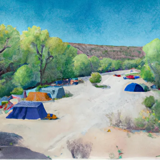 Indian Springs
|
||
 Lower Jackass Flat Campsite
|


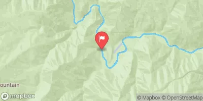
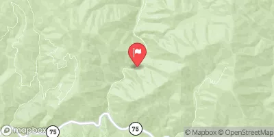
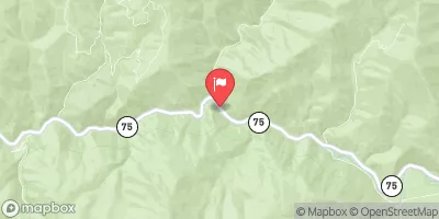

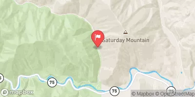

 Confluence Of Loon And Pioneer Creeks To Phillips Creek Transfer Camp
 Headwaters To Confluence With Loon Creek