Summary
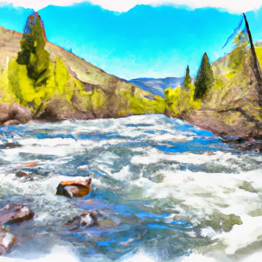
The ideal streamflow range for this river run is between 400-1200 cfs, which typically occurs in the spring and early summer months. The class rating for Summit Creek is class III-IV, which means that it requires moderate to advanced skills and experience to navigate.
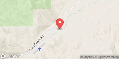
The segment mileage for Summit Creek is approximately 8 miles, beginning at the confluence of Summit Creek and the South Fork of the Payette River, and ending at the small town of Lowman. Along the way, paddlers will encounter several notable rapids and obstacles, including "Gobbler's Knob," "The Chutes," and "Little Falls."
In terms of regulations, Summit Creek is located within the Boise National Forest and is subject to various rules and guidelines. Paddlers are required to carry appropriate safety equipment, including personal flotation devices and helmets. Additionally, camping and campfires are only allowed in designated areas, and visitors are expected to practice leave-no-trace principles to minimize their impact on the environment.
°F
°F
mph
Wind
%
Humidity
15-Day Weather Outlook
River Run Details
| Last Updated | 2025-06-28 |
| River Levels | 202 cfs (2.47 ft) |
| Percent of Normal | 58% |
| Status | |
| Class Level | iii-iv |
| Elevation | ft |
| Streamflow Discharge | cfs |
| Gauge Height | ft |
| Reporting Streamgage | USGS 13118700 |
5-Day Hourly Forecast Detail
Nearby Streamflow Levels
Area Campgrounds
| Location | Reservations | Toilets |
|---|---|---|
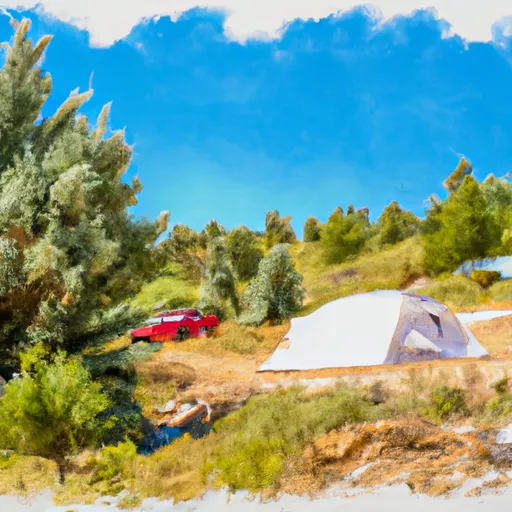
 Summit Creek Campground
|
||
 Summit Creek
|
||
 Timber Creek
|
||
 Mill Creek Trailhead & Campground
|


 Summit Creek
 Dry Creek