Summary
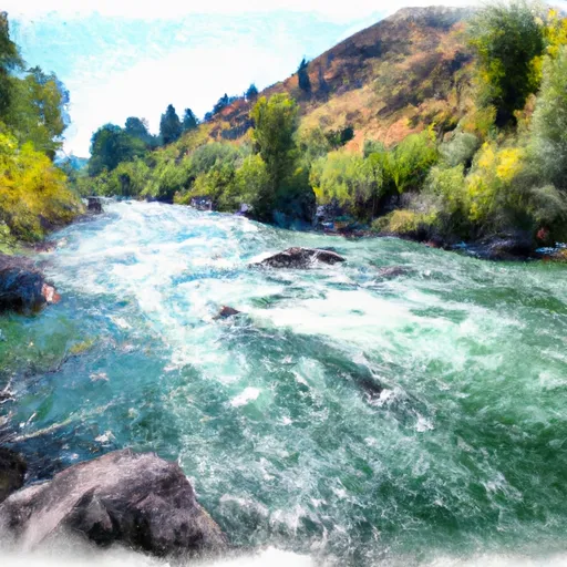
The ideal streamflow range for this river is 1000-2000 cfs, which typically occurs during the spring and early summer months. The river is rated as a Class III-IV run, with several rapids and obstacles that provide an exciting challenge for rafters.
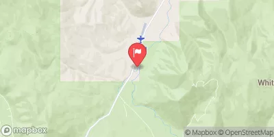
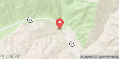
The segment mileage of the East Fork Salmon River is approximately 17 miles, with the run starting at the McCall Fish Hatchery and ending at the town of Challis. Some of the notable rapids and obstacles on this river include the Big Falls, Pistol Creek, and the Flying B Ranch Rapid. The Big Falls is a Class V rapid, which requires experienced rafters, while the Pistol Creek and Flying B Ranch Rapids are Class IV rapids that provide a thrilling challenge for intermediate rafters.
As for regulations, it is important to note that this river run is managed by the Bureau of Land Management (BLM) and a permit is required to access the river. Additionally, there are restrictions on group size and camping locations along the river, so it is important to check with the BLM beforehand.
Overall, the East Fork Salmon River offers a challenging and exciting whitewater rafting experience for those looking for an adventure in Idaho. It is important to check the streamflow range, class rating, and regulations before embarking on this river run to ensure a safe and enjoyable experience.
°F
°F
mph
Wind
%
Humidity
15-Day Weather Outlook
River Run Details
| Last Updated | 2025-06-28 |
| River Levels | 49 cfs (3.82 ft) |
| Percent of Normal | 51% |
| Status | |
| Class Level | iii-iv |
| Elevation | ft |
| Streamflow Discharge | cfs |
| Gauge Height | ft |
| Reporting Streamgage | USGS 13297330 |


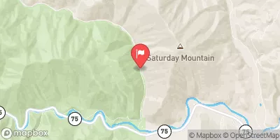
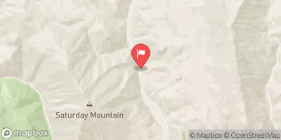
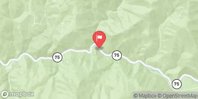
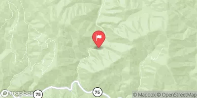
 East Fork Salmon River
 Unnamed Creek To Sawtooth Nf Boundary
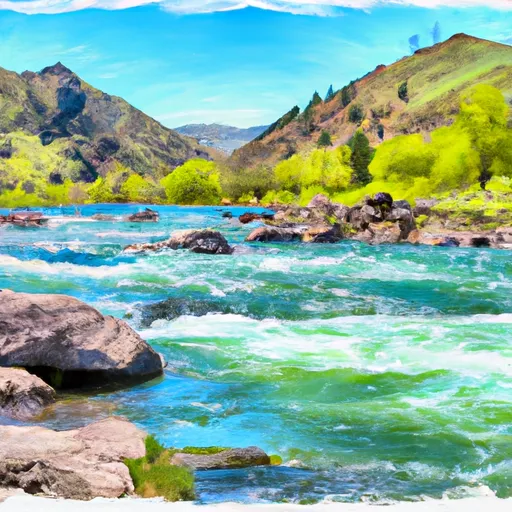 Three Cabins Creek To Confluence With East Fork Salmon River
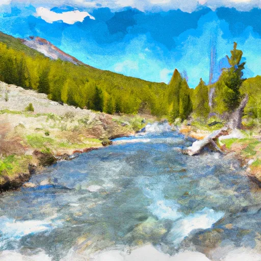 Headwaters To Sawtooth Nf Boundary
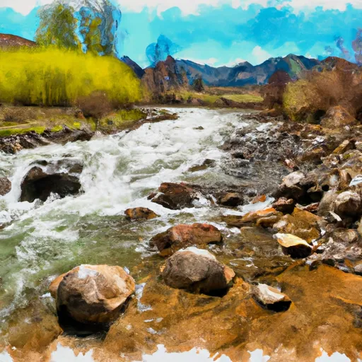 Headwaters To Confluence With Little Boulder Creek
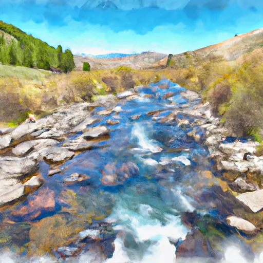 Headwaters To Confluence With East Fork Salmon River