

Summary
Regional Streamflow Levels
15-Day Long Term Forecast
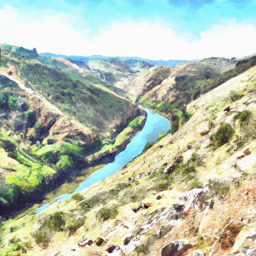
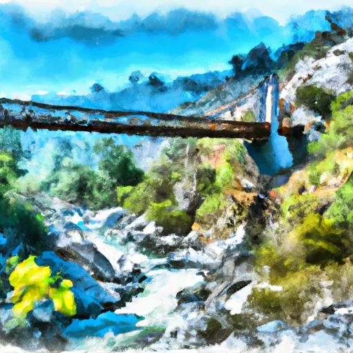
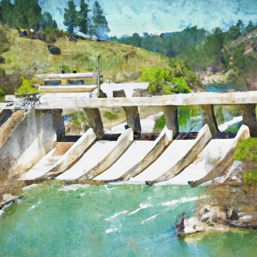
River Run Details
| Last Updated | |
| River Levels | cfs ( ft) |
| Percent of Normal | +100% |
| Status | |
| Class Level | IV to V |
| Elevation | ft |
| Run Length | 10.0 Mi |
| Gradient | 125 FPM |
| Streamflow Discharge | cfs |
| Gauge Height | ft |
| Reporting Streamgage | USGS |

5-Day Hourly Forecast Detail
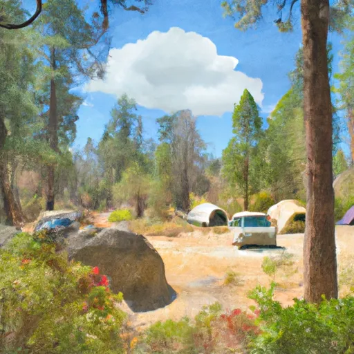
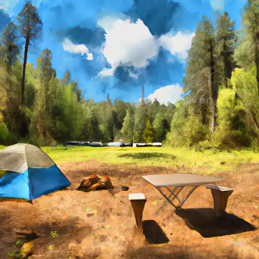
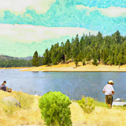
Area Campgrounds
| Location | Reservations | Toilets |
|---|---|---|
 Middle Meadows Group Campground
|
||
 Ponderosa Cove Group Campground
|
||
 Chicken Hawk Campground
|
||
 Ponderosa Cove
|
||
 Stumpy Meadows Campground
|
||
 Stumpy Meadows
|
 Oxbow Raft Put-in Site
 Interbay to Oxbow (End of the World)
 Big Grizzly Canyon To Oxbow Reservoir
 Tunnel Run (Ralston Powerhouse to Greenwood)
 Ellicots Bridge To Big Grizzly Canyon
 Hell Hole Dam To Ellicotts Bridge
 Generation and Giant Gaps (Tadpole to Colfax-Iowa Hill Road)
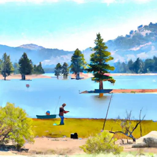
 French Meadows Reservoir
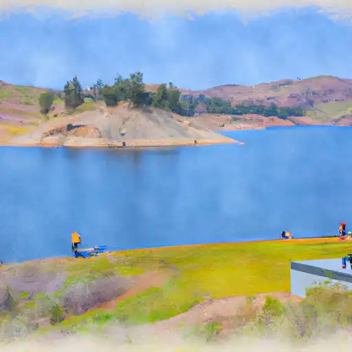
 Union Valley Reservoir
 Loon Lake
 Buck Island Lake
 Ice House Reservoir