Summary
The ideal streamflow range for the river is around 150-300 cubic feet per second (cfs), making it a Class II-III river. The 4-mile segment of the river runs downstream from the Kentucky Highway 90 Bridge to the confluence with Cane Creek.
There are several rapids and obstacles along the river, including "The Narrows," a narrow chute between two large boulders, and "The Ledges," a series of rocky drops that require careful navigation. Other notable features include "The Surf Wave," a popular spot for surf kayaking, and "Big Momma," a large boulder that requires paddlers to make a quick turn.
There are specific regulations in place for the area, including a requirement for all paddlers to wear personal flotation devices (PFDs) and for kayakers to wear helmets. Additionally, paddlers are encouraged to check the water levels before heading out, and to avoid the river during times of high water or flood conditions.
Overall, the Whitewater River offers a challenging and exciting experience for paddlers of all skill levels. However, it is important to be aware of the specific regulations and to exercise caution when navigating the rapids and obstacles along the river.
°F
°F
mph
Wind
%
Humidity
15-Day Weather Outlook
River Run Details
| Last Updated | 2026-02-07 |
| River Levels | 608 cfs (1.82 ft) |
| Percent of Normal | 42% |
| Status | |
| Class Level | ii-iii |
| Elevation | ft |
| Streamflow Discharge | cfs |
| Gauge Height | ft |
| Reporting Streamgage | USGS 03404500 |
5-Day Hourly Forecast Detail
Nearby Streamflow Levels
 Cumberland River At Cumberland Falls
|
3520cfs |
 Cumberland River At Williamsburg
|
2930cfs |
 Lynn Camp Creek At Corbin
|
76cfs |
 Clear Fork At Saxton
|
419cfs |
 South Fork Cumberland River Near Stearns
|
195cfs |
 Rockcastle River At Billows
|
1730cfs |
Area Campgrounds
| Location | Reservations | Toilets |
|---|---|---|
 Cumberland Falls State Park
|
||
 Rockcastle
|
||
 Grove Rec Area
|
||
 Grove Drive-in Campground
|
||
 Grove Boat-In Campground
|
||
 Holly Bay Campground
|


 4 Miles Downstream From The Kentucky Highway 90 Bridge To Confluence With Cane Creek
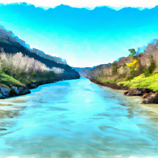 Kentucky Road 679 To Confluence Of Cumberland River
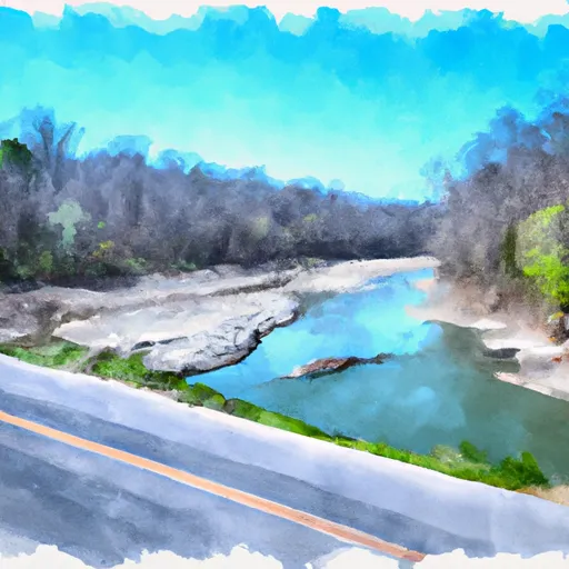 Kentucky Road 478 To Kentucky Road 679
 Kentucky Road 80 Bridge To Downstream Part Of Rockcastle Narrows