Summary
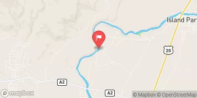
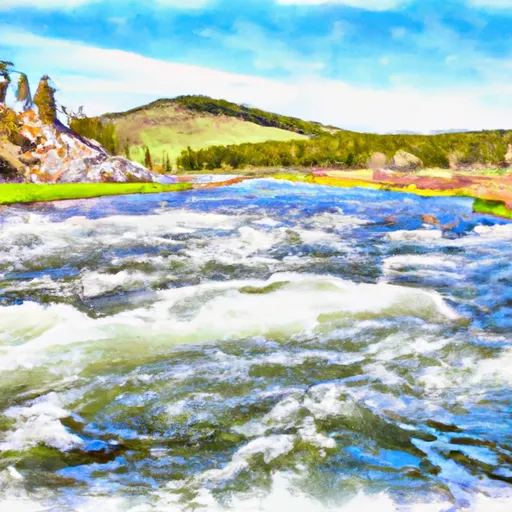
The ideal streamflow range for this section of the river is between 1,000-4,000 cfs. The class rating ranges from Class II to Class IV, depending on the water level. The segment mileage of this run is approximately 6 miles, starting at Jackpine Rd & Wf Madison Rd, Sec. 4, T12S, R1E and ending at Shakelford Homestead, Sec. 25, T1S, R1W.
Some notable rapids and obstacles along the way include "Pinball", "Pigpen", and "Screaming Left Turn". These rapids are best navigated by experienced paddlers and require precise maneuvering. It's important to note that this run is not suitable for beginners, as the rapids can be challenging and the water can be fast-moving.
Specific regulations to the area include a permit requirement for commercial outfitters and a limit on the number of daily launches. It's important to follow Leave No Trace principles and pack out all trash. Additionally, motorized watercraft are not allowed on this section of the river.
°F
°F
mph
Wind
%
Humidity
15-Day Weather Outlook
River Run Details
| Last Updated | 2026-02-07 |
| River Levels | 1360 cfs (2.17 ft) |
| Percent of Normal | 76% |
| Status | |
| Class Level | ii-iv |
| Elevation | ft |
| Streamflow Discharge | cfs |
| Gauge Height | ft |
| Reporting Streamgage | USGS 06038800 |
5-Day Hourly Forecast Detail
Nearby Streamflow Levels
Area Campgrounds
| Location | Reservations | Toilets |
|---|---|---|
 Wade Lake Campground and Picnic Areas
|
||
 Cliff Point Campground
|
||
 Wade Lake
|
||
 Hilltop Campground
|
||
 Hilltop
|
||
 Cliff Point
|
River Runs
-
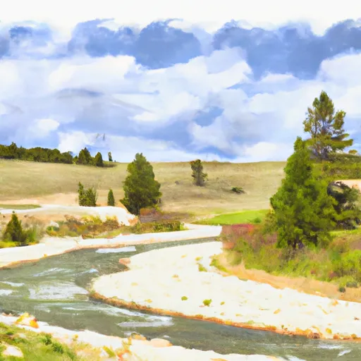 Jackpine Rd & Wf Madison Rd, Sec. 4, T12S, R1E To Shakelford Homestead, Sec. 25, T1S, R1W
-
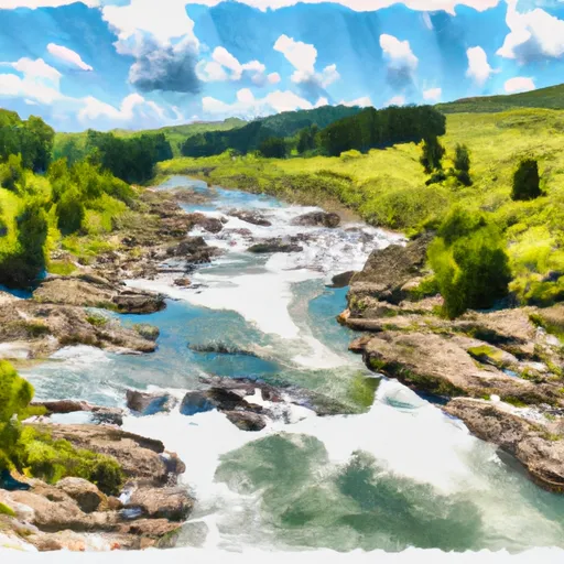 Elk Rv & Wf Madison Rv, Sec. 17, T12S, R1E To Dirty Creek, Sec. 11, T11S, R1W
-
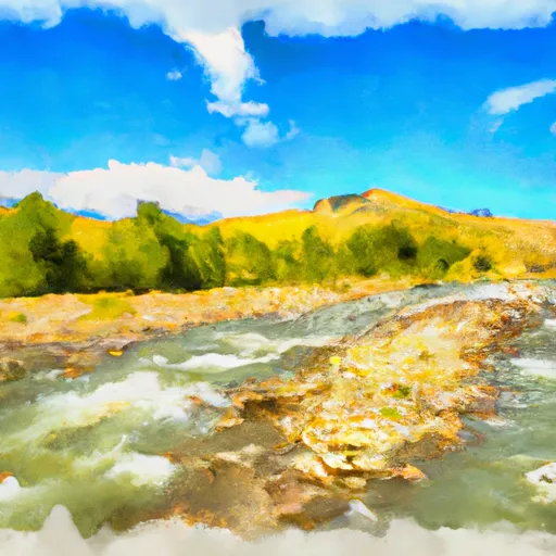 Shakelford Homestead, Sec. 26, T12S, R1W To 1/2 Mi Below Landon Camp, Sec. 32, T12S, R1W
-
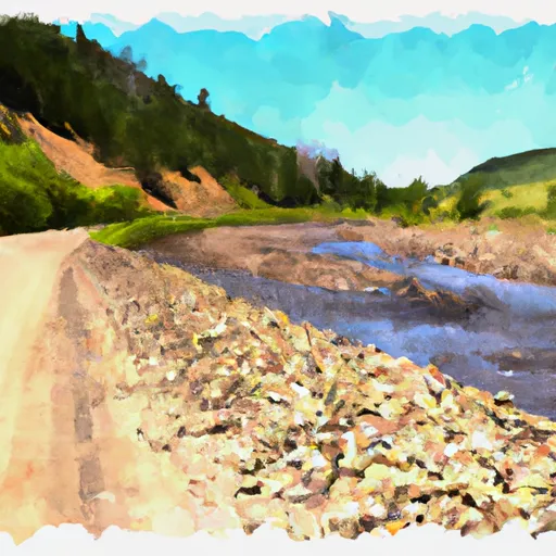 Dirty Ck To Elk River & Gravelly Range Road #290, Sec. 15 T11S R2W
-
 Madison River


