Summary
The ideal streamflow range for this run is between 800 and 1500 cubic feet per second (cfs), which typically occurs during spring runoff. The class rating for this run is Class III to IV, with approximately 13 miles of rapids and obstacles.
The segment mileage for this run is approximately 10 miles, starting at the junction of the Fisher River, three miles downstream of Libby Dam, and ending at Tub Gulch, four miles upstream from the town of Libby. Specific river rapids and obstacles include Hell's Half Mile, a Class IV rapid, as well as several Class III rapids such as Jaws and The Narrows.
There are specific regulations to the area, such as a permit requirement for commercial outfitters and a requirement for personal flotation devices (PFDs) for all participants. Additionally, there are restrictions on the use of motorized watercraft on the Fisher River.
Overall, the Whitewater River Run on the Fisher River offers a thrilling adventure for experienced whitewater enthusiasts. While the rapids and obstacles can be challenging, the ideal streamflow range and Class III to IV rating make for an exhilarating ride.
°F
°F
mph
Wind
%
Humidity
15-Day Weather Outlook
River Run Details
| Last Updated | 2026-02-07 |
| River Levels | 9720 cfs (20.07 ft) |
| Percent of Normal | 80% |
| Status | |
| Class Level | iii-iv |
| Elevation | ft |
| Streamflow Discharge | cfs |
| Gauge Height | ft |
| Reporting Streamgage | USGS 12301933 |
5-Day Hourly Forecast Detail
Nearby Streamflow Levels
 Kootenai River Bl Libby Dam Nr Libby Mt
|
4160cfs |
 Fisher River Near Libby Mt
|
381cfs |
 Yaak River Near Troy Mt
|
608cfs |
 Kootenai River At Leonia Id
|
6380cfs |
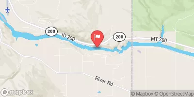 Clark Fork River Below Cabinet Gorge Dam Id
|
12700cfs |
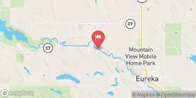 Tobacco River Near Eureka Mt
|
388cfs |
Area Campgrounds
| Location | Reservations | Toilets |
|---|---|---|
 Volunteer fire Dept Campgrouns
|
||
 Volunteer Firemans Memorial Park - Libby
|
||
 Timberlane
|
||
 Timberlane Campground
|
||
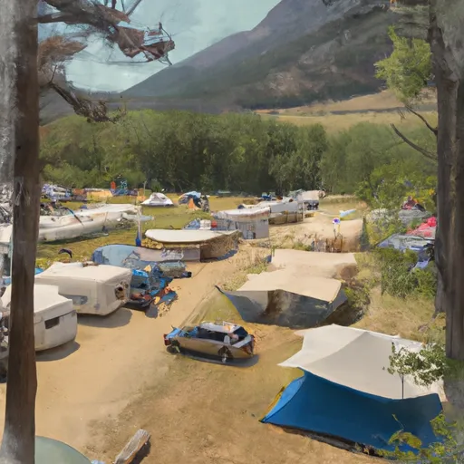 Dunn Creek Campground
|
||
 Dunn Creek Flats
|


 Osprey Landing
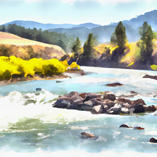 Junction Of The Fisher River (Three Miles Sownstream Of Libby Dam) To Tub Gulch, Approximately Four Miles Upstream From The Town Of Libby, Montana
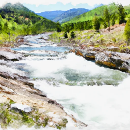 10 Miles From Tub Gulch To Quartz Creek To 10 Miles From Tub Gulch To Quartz Creek